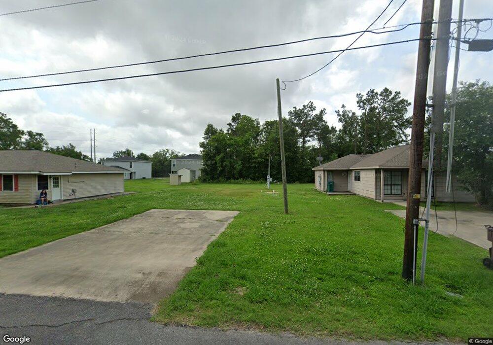
1020 Link Rd Lake Charles, LA 70607
Estimated Value: $66,575 - $73,000
3
Beds
2
Baths
1,280
Sq Ft
$55/Sq Ft
Est. Value
About This Home
This home is located at 1020 Link Rd, Lake Charles, LA 70607 and is currently estimated at $69,788, approximately $54 per square foot. 1020 Link Rd is a home located in Calcasieu Parish with nearby schools including M.J. Kaufman Elementary School, Center Elementary School, and F.K. White Middle School.
Ownership History
Date
Name
Owned For
Owner Type
Purchase Details
Closed on
Feb 12, 2008
Sold by
Fuselier Marcus Charles and Fuselier Vicky Lynn
Bought by
Theriot Christy Lynn
Current Estimated Value
Home Financials for this Owner
Home Financials are based on the most recent Mortgage that was taken out on this home.
Original Mortgage
$20,000
Outstanding Balance
$12,622
Interest Rate
6.07%
Mortgage Type
Purchase Money Mortgage
Estimated Equity
$57,166
Create a Home Valuation Report for This Property
The Home Valuation Report is an in-depth analysis detailing your home's value as well as a comparison with similar homes in the area
Home Values in the Area
Average Home Value in this Area
Purchase History
| Date | Buyer | Sale Price | Title Company |
|---|---|---|---|
| Theriot Christy Lynn | $40,000 | None Available |
Source: Public Records
Mortgage History
| Date | Status | Borrower | Loan Amount |
|---|---|---|---|
| Open | Theriot Christy Lynn | $20,000 |
Source: Public Records
Tax History Compared to Growth
Tax History
| Year | Tax Paid | Tax Assessment Tax Assessment Total Assessment is a certain percentage of the fair market value that is determined by local assessors to be the total taxable value of land and additions on the property. | Land | Improvement |
|---|---|---|---|---|
| 2024 | $174 | $1,620 | $1,620 | $0 |
| 2023 | $174 | $3,090 | $1,620 | $1,470 |
| 2022 | $342 | $3,090 | $1,620 | $1,470 |
| 2021 | $0 | $3,090 | $1,620 | $1,470 |
| 2020 | $325 | $2,880 | $1,560 | $1,320 |
| 2019 | $336 | $2,970 | $1,500 | $1,470 |
| 2018 | $264 | $2,970 | $1,500 | $1,470 |
| 2017 | $339 | $2,970 | $1,500 | $1,470 |
| 2016 | $264 | $2,970 | $1,500 | $1,470 |
| 2015 | $264 | $2,570 | $1,100 | $1,470 |
Source: Public Records
Map
Nearby Homes
- 0 Link Rd Unit SWL24005611
- 878 Link Rd
- 0 Tallow Rd Unit SWL24005610
- 856 Desoto St
- 832 Desoto St
- 802 Sundale Dr
- 813 Weeks Ln
- 730 Rampart St
- 714 Rampart St
- 0 Petro Point Dr
- 829 Rampart St
- 645 Esplanade St
- 4823 Gentilly St
- 725 Murbelle Rd
- 0 Murbelle Rd
- 421 & 423 Broussard Ln Ln
- 720 Royal St
- 805 Royal St
- 5728 Common St
- 5924 Common St
- 1022 Link Rd
- 1018 Link Rd
- 1026 Link Rd
- 1016 Link Rd
- 951 Tallow Rd
- 1032 Link Rd
- 1032 Link Rd Unit B
- 1 2 Tallow Rd
- 1014 Link Rd
- 0 Link Rd Unit 127447
- 0 Link Rd Unit 70942
- 0 Link Rd Unit 70827
- 0 Link Rd Unit 69430
- 0 Link Rd Unit 70940
- 0 Link Rd Unit 79166
- 0 Link Rd Unit 97108
- 0 tbd Link Rd
- 0 Link Rd Unit SWL22001746
- 0 Link Rd Unit 191735
- 0 Link Rd Unit 127449