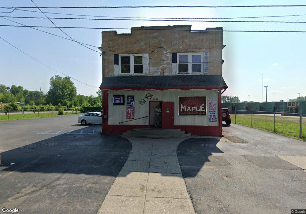
1020 Maple St Saginaw, MI 48602
Southwest NeighborhoodEstimated Value: $104,411
--
Bed
--
Bath
3,360
Sq Ft
$31/Sq Ft
Est. Value
About This Home
This home is located at 1020 Maple St, Saginaw, MI 48602 and is currently estimated at $104,411, approximately $31 per square foot. 1020 Maple St is a home located in Saginaw County with nearby schools including Merrill Park Elementary School, Thompson Middle School, and Arthur Hill High School.
Ownership History
Date
Name
Owned For
Owner Type
Purchase Details
Closed on
Feb 27, 2025
Sold by
Mitchell Amanda Sue
Bought by
Montpas Gross Enterprises Llc
Current Estimated Value
Purchase Details
Closed on
Sep 5, 2016
Sold by
Carstensen Barbara A
Bought by
Mitchell Amanda S
Purchase Details
Closed on
Mar 28, 2016
Sold by
Furlo John R and Furlo John R
Bought by
Carstensen John P
Purchase Details
Closed on
Sep 28, 2012
Sold by
Carstensen Barbara A and Carstensen John P
Bought by
Carstensen Barbara A and Schardt Teresa
Purchase Details
Closed on
Mar 19, 1996
Sold by
Carstensen John P
Bought by
Carstensen John P and Carstensen Barbara
Create a Home Valuation Report for This Property
The Home Valuation Report is an in-depth analysis detailing your home's value as well as a comparison with similar homes in the area
Home Values in the Area
Average Home Value in this Area
Purchase History
| Date | Buyer | Sale Price | Title Company |
|---|---|---|---|
| Montpas Gross Enterprises Llc | $100,000 | Diversified National Title | |
| Mitchell Amanda S | $15,000 | -- | |
| Carstensen John P | $60,000 | -- | |
| Carstensen Barbara A | -- | -- | |
| Carstensen John P | -- | -- |
Source: Public Records
Tax History Compared to Growth
Tax History
| Year | Tax Paid | Tax Assessment Tax Assessment Total Assessment is a certain percentage of the fair market value that is determined by local assessors to be the total taxable value of land and additions on the property. | Land | Improvement |
|---|---|---|---|---|
| 2025 | $2,160 | $33,500 | $0 | $0 |
| 2024 | $1,766 | $31,300 | $0 | $0 |
| 2023 | $1,695 | $29,400 | $0 | $0 |
| 2022 | $1,982 | $26,800 | $0 | $0 |
| 2021 | $1,864 | $26,100 | $0 | $0 |
| 2020 | $1,911 | $26,000 | $0 | $0 |
| 2019 | $1,906 | $27,400 | $4,500 | $22,900 |
| 2018 | $1,323 | $23,965 | $0 | $0 |
| 2017 | $1,550 | $23,950 | $0 | $0 |
| 2016 | $1,287 | $25,241 | $0 | $0 |
| 2013 | -- | $19,923 | $0 | $0 |
Source: Public Records
Map
Nearby Homes
- 1756 Jordan St
- 1725 Kendrick St
- 1548 Maine St
- 1544 Maine St
- 1723 Maine St
- 1830 Jordan St
- 1620 Vermont St
- 2300 Jerome St
- 1817 Ring St
- 1843 Kendrick St
- 1823 Ring St
- 2219 S Michigan Ave
- 1703 Marquette St
- 1700 Marquette St
- 1514 Marquette St
- 1802 Marquette St
- 1430 Marquette St
- 503 Grove St
- 1306 S Wheeler St
- 2201 S Niagara St