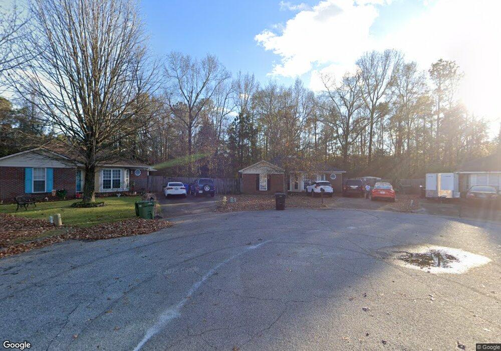
1020 Mitchell Ridge Dr Columbus, GA 31907
East Columbus NeighborhoodEstimated Value: $123,000 - $177,682
3
Beds
3
Baths
1,357
Sq Ft
$112/Sq Ft
Est. Value
About This Home
This home is located at 1020 Mitchell Ridge Dr, Columbus, GA 31907 and is currently estimated at $151,921, approximately $111 per square foot. 1020 Mitchell Ridge Dr is a home located in Muscogee County with nearby schools including Forrest Road Elementary School, Fort Middle School, and Kendrick High School.
Ownership History
Date
Name
Owned For
Owner Type
Purchase Details
Closed on
Mar 14, 2014
Sold by
Sec Of Veterans Affa
Bought by
Moody Pamela D and Moody Bobby
Current Estimated Value
Home Financials for this Owner
Home Financials are based on the most recent Mortgage that was taken out on this home.
Original Mortgage
$47,000
Outstanding Balance
$35,570
Interest Rate
4.3%
Mortgage Type
New Conventional
Estimated Equity
$116,351
Purchase Details
Closed on
Aug 6, 2013
Sold by
Pnc Bank National Associat
Bought by
Sec Of Veterans Affairs
Create a Home Valuation Report for This Property
The Home Valuation Report is an in-depth analysis detailing your home's value as well as a comparison with similar homes in the area
Home Values in the Area
Average Home Value in this Area
Purchase History
| Date | Buyer | Sale Price | Title Company |
|---|---|---|---|
| Moody Pamela D | $63,000 | -- | |
| Sec Of Veterans Affairs | $78,436 | -- | |
| Pnc Bank National Association | $78,436 | -- |
Source: Public Records
Mortgage History
| Date | Status | Borrower | Loan Amount |
|---|---|---|---|
| Open | Moody Pamela D | $47,000 |
Source: Public Records
Tax History
| Year | Tax Paid | Tax Assessment Tax Assessment Total Assessment is a certain percentage of the fair market value that is determined by local assessors to be the total taxable value of land and additions on the property. | Land | Improvement |
|---|---|---|---|---|
| 2025 | $2,377 | $60,732 | $14,080 | $46,652 |
| 2024 | $2,377 | $60,732 | $14,080 | $46,652 |
| 2023 | $239 | $60,732 | $14,080 | $46,652 |
| 2022 | $2,117 | $51,844 | $14,080 | $37,764 |
| 2021 | $1,716 | $42,036 | $14,080 | $27,956 |
| 2020 | $1,717 | $42,036 | $14,080 | $27,956 |
| 2019 | $1,722 | $42,036 | $14,080 | $27,956 |
| 2018 | $1,722 | $42,036 | $14,080 | $27,956 |
| 2017 | $1,728 | $42,036 | $14,080 | $27,956 |
| 2016 | $1,040 | $25,200 | $7,280 | $17,920 |
| 2015 | $1,041 | $25,200 | $7,280 | $17,920 |
| 2014 | $1,607 | $38,864 | $7,280 | $31,584 |
| 2013 | -- | $38,864 | $7,280 | $31,584 |
Source: Public Records
Map
Nearby Homes
- 2216 Hunter Ct
- 2143 Hunter Ct
- 2737 Schatulga Rd
- 2735 Schatulga Rd
- 3 Playfield Ct
- 6424 Lemongrass Dr
- 2708 Courtland Ave
- 3041 Waddell Dr
- 6386 Lemongrass Dr
- 6378 Lemongrass Dr
- 6376 Lemongrass Dr
- 6374 Lemongrass Dr
- 6370 Lemongrass Dr
- 6362 Lemongrass Dr
- 1925 Woodhollow Dr
- 6636 Foxboro Dr
- 1826 Woodhollow Dr
- 5646 Boby Dr
- 6293 Dupree Dr
- 5644 Peggy Dr
- 1018 Mitchell Ridge Dr
- 1019 Mitchell Ridge Dr
- 1017 Mitchell Ridge Dr
- 1016 Mitchell Ridge Dr
- 1015 Mitchell Ridge Dr
- 1014 Mitchell Ridge Dr
- 2020 Mitchell Ridge Ct
- 1013 Mitchell Ridge Dr
- 2024 Mitchell Ridge Ct
- 2223 Hunter Ct
- 2016 Mitchell Ridge Ct
- 2227 Hunter Ct
- 1012 Mitchell Ridge Dr
- 1011 Mitchell Ridge Dr
- 3 Jabbar Ct
- 2012 Mitchell Ridge Ct
- 2219 Hunter Ct
- 4 Jabbar Ct
- 2228 Hunter Ct
- 1010 Mitchell Ridge Dr
Your Personal Tour Guide
Ask me questions while you tour the home.