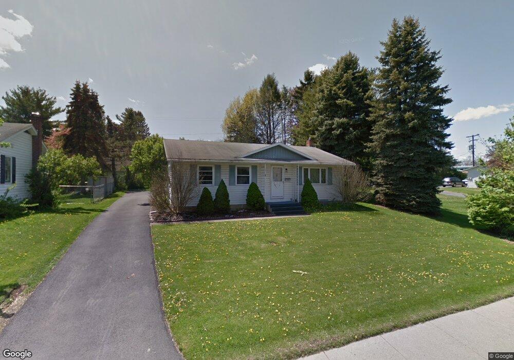
1020 N Atherton St State College, PA 16803
College Heights NeighborhoodEstimated Value: $256,003 - $359,000
3
Beds
1
Bath
1,696
Sq Ft
$175/Sq Ft
Est. Value
About This Home
This home is located at 1020 N Atherton St, State College, PA 16803 and is currently estimated at $297,251, approximately $175 per square foot. 1020 N Atherton St is a home located in Centre County with nearby schools including Radio Park Elementary School, Park Forest Middle School, and State College Area High School.
Ownership History
Date
Name
Owned For
Owner Type
Purchase Details
Closed on
Nov 19, 2013
Sold by
Firster Bruce L and Firster Josette M
Bought by
Streicher Jamie L
Current Estimated Value
Home Financials for this Owner
Home Financials are based on the most recent Mortgage that was taken out on this home.
Original Mortgage
$7,479
Outstanding Balance
$5,564
Interest Rate
4.17%
Mortgage Type
Purchase Money Mortgage
Estimated Equity
$291,687
Purchase Details
Closed on
Jul 17, 2003
Bought by
Firster Bruce L and Firster Josette M
Create a Home Valuation Report for This Property
The Home Valuation Report is an in-depth analysis detailing your home's value as well as a comparison with similar homes in the area
Home Values in the Area
Average Home Value in this Area
Purchase History
| Date | Buyer | Sale Price | Title Company |
|---|---|---|---|
| Streicher Jamie L | $102,375 | None Available | |
| Firster Bruce L | $86,000 | -- |
Source: Public Records
Mortgage History
| Date | Status | Borrower | Loan Amount |
|---|---|---|---|
| Open | Streicher Jamie L | $7,479 |
Source: Public Records
Tax History Compared to Growth
Tax History
| Year | Tax Paid | Tax Assessment Tax Assessment Total Assessment is a certain percentage of the fair market value that is determined by local assessors to be the total taxable value of land and additions on the property. | Land | Improvement |
|---|---|---|---|---|
| 2025 | $3,384 | $41,445 | $0 | $41,445 |
| 2024 | $3,056 | $41,445 | $0 | $41,445 |
| 2023 | $3,056 | $41,445 | $0 | $41,445 |
| 2022 | $2,992 | $41,445 | $0 | $41,445 |
| 2021 | $2,992 | $41,445 | $0 | $41,445 |
| 2020 | $2,992 | $41,445 | $0 | $41,445 |
| 2019 | $2,605 | $41,445 | $0 | $41,445 |
| 2018 | $2,834 | $41,445 | $0 | $41,445 |
| 2017 | $2,806 | $41,445 | $0 | $41,445 |
| 2016 | -- | $41,445 | $0 | $41,445 |
| 2015 | -- | $41,445 | $0 | $41,445 |
| 2014 | -- | $41,445 | $0 | $41,445 |
Source: Public Records
Map
Nearby Homes
- 861 Willard St
- 936 Taylor St
- 465 Hillcrest Ave
- 505 Hillcrest Ave
- 441 Ridge Ave
- 125 W Park Ave
- 439 W Park Ave
- 157 Hartswick Ave
- 619 Mckee St
- 719 Glenn Rd
- 715 W Park Ave
- 320 Hartswick Ave
- 321 W Beaver Ave Unit 404
- 321 W Beaver Ave Unit 709
- 321 W Beaver Ave Unit 811
- 321 W Beaver Ave Unit 909
- 321 W Beaver Ave Unit 601
- 321 W Beaver Ave Unit 908
- 321 W Beaver Ave Unit 804
- 321 W Beaver Ave Unit 702
- 1014 N Atherton St
- 1023 Taylor St
- 1025 Taylor St
- 1017 Taylor St
- 1026 N Atherton St
- 1026 N Atherton St Unit 1028
- 1026 N Atherton St
- 1008 N Atherton St
- 1008 Atherton Street St N
- 1033 Taylor St
- 1009 Taylor St
- 866 Willard St
- 866 Willard St
- 858 Willard St
- 858 Willard St
- 1007 N Atherton St
- 1041 Taylor St
- 1000 N Atherton St
- 1001 Taylor St
- 872 Willard Cir