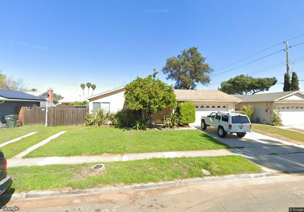
1020 N Grape St Escondido, CA 92026
Central Escondido NeighborhoodEstimated Value: $698,340 - $762,000
2
Beds
2
Baths
1,520
Sq Ft
$479/Sq Ft
Est. Value
About This Home
This home is located at 1020 N Grape St, Escondido, CA 92026 and is currently estimated at $727,335, approximately $478 per square foot. 1020 N Grape St is a home located in San Diego County with nearby schools including Farr Avenue Elementary, Mission Middle, and Escondido High School.
Ownership History
Date
Name
Owned For
Owner Type
Purchase Details
Closed on
Mar 2, 2026
Sold by
Courton Dena and Douglas C Courton Revocable Trust
Bought by
Courton Dena
Current Estimated Value
Home Financials for this Owner
Home Financials are based on the most recent Mortgage that was taken out on this home.
Original Mortgage
$123,800
Outstanding Balance
$123,800
Interest Rate
6.09%
Mortgage Type
New Conventional
Estimated Equity
$603,535
Purchase Details
Closed on
Aug 22, 2024
Sold by
Courton Douglas C
Bought by
Douglas C Courton Revocable Trust and Courton
Purchase Details
Closed on
May 24, 2019
Sold by
Courton Douglas C and Courton Dena M
Bought by
Courton Douglas C
Home Financials for this Owner
Home Financials are based on the most recent Mortgage that was taken out on this home.
Original Mortgage
$181,500
Interest Rate
4.1%
Mortgage Type
New Conventional
Purchase Details
Closed on
Jun 29, 2000
Sold by
Courton William D and Courton Linda
Bought by
Courton Douglas C
Home Financials for this Owner
Home Financials are based on the most recent Mortgage that was taken out on this home.
Original Mortgage
$120,000
Interest Rate
8.67%
Purchase Details
Closed on
Dec 14, 1998
Sold by
Courton Thelma B
Bought by
Courton Thelma B
Create a Home Valuation Report for This Property
The Home Valuation Report is an in-depth analysis detailing your home's value as well as a comparison with similar homes in the area
Home Values in the Area
Average Home Value in this Area
Purchase History
We collect this data history from publicly available records. To have your information removed, we recommend requesting removal directly through your county’s website.
| Date | Buyer | Sale Price | Title Company |
|---|---|---|---|
| Courton Dena | -- | Wfg National Title Company | |
| Douglas C Courton Revocable Trust | -- | None Listed On Document | |
| Courton Douglas C | -- | First American Title | |
| Courton Douglas C | $150,000 | Chicago Title Co | |
| Courton Thelma B | -- | -- |
Source: Public Records
Mortgage History
We collect this data history from publicly available records. To have your information removed, we recommend requesting removal directly through your county’s website.
| Date | Status | Borrower | Loan Amount |
|---|---|---|---|
| Open | Courton Dena | $123,800 | |
| Previous Owner | Courton Douglas C | $181,500 | |
| Previous Owner | Courton Douglas C | $120,000 |
Source: Public Records
Tax History
| Year | Tax Paid | Tax Assessment Tax Assessment Total Assessment is a certain percentage of the fair market value that is determined by local assessors to be the total taxable value of land and additions on the property. | Land | Improvement |
|---|---|---|---|---|
| 2025 | $1,318 | $114,875 | $19,603 | $95,272 |
| 2024 | $1,318 | $112,623 | $19,219 | $93,404 |
| 2023 | $1,287 | $110,416 | $18,843 | $91,573 |
| 2022 | $1,273 | $108,252 | $18,474 | $89,778 |
| 2021 | $1,253 | $106,130 | $18,112 | $88,018 |
| 2020 | $1,246 | $105,043 | $17,927 | $87,116 |
| 2019 | $1,136 | $102,984 | $17,576 | $85,408 |
| 2018 | $1,103 | $100,966 | $17,232 | $83,734 |
| 2017 | $1,084 | $98,988 | $16,895 | $82,093 |
| 2016 | $1,060 | $97,048 | $16,564 | $80,484 |
| 2015 | $1,051 | $95,592 | $16,316 | $79,276 |
| 2014 | $1,007 | $93,721 | $15,997 | $77,724 |
Source: Public Records
Map
Nearby Homes
- 414 E Lincoln Ave
- 1039 Joshua St
- 764 N Grape St Unit 66
- 906 Sendero Ave
- 914 Sendero Ave
- 664 N Fig St
- 1240 N Broadway Unit 31
- 1240 N Broadway Unit 54
- 1240 N Broadway Unit 53
- 1143 N Broadway
- 1362 N Elm St
- 810 E Washington Ave Unit E
- 818 E Washington Ave Unit C
- 804 E Washington Ave Unit C
- 1020 E Washington Ave Unit 107
- 1020 E Washington Ave Unit 97
- 1030 E Washington Ave Unit 120
- 134 Espanas Glen
- 630 N Juniper St
- 1060 E Washington Ave Unit 5
Your Personal Tour Guide
Ask me questions while you tour the home.