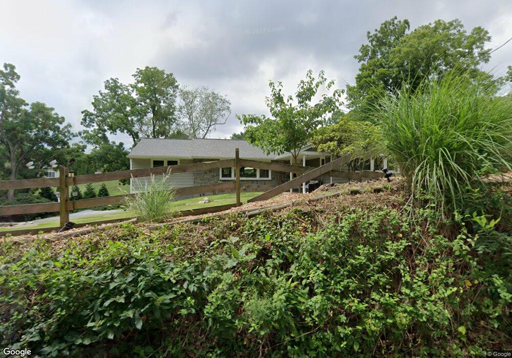
1020 N New St West Chester, PA 19380
Estimated Value: $565,000 - $634,000
3
Beds
2
Baths
1,729
Sq Ft
$350/Sq Ft
Est. Value
About This Home
This home is located at 1020 N New St, West Chester, PA 19380 and is currently estimated at $605,897, approximately $350 per square foot. 1020 N New St is a home located in Chester County with nearby schools including Hillsdale Elementary School, E.N. Peirce Middle School, and Henderson High School.
Ownership History
Date
Name
Owned For
Owner Type
Purchase Details
Closed on
Oct 6, 2014
Sold by
Klein Eugene and Klein Margaret H
Bought by
Ward Matthew H and Ward Deborah K
Current Estimated Value
Home Financials for this Owner
Home Financials are based on the most recent Mortgage that was taken out on this home.
Original Mortgage
$293,400
Outstanding Balance
$225,594
Interest Rate
4.18%
Mortgage Type
New Conventional
Estimated Equity
$380,303
Create a Home Valuation Report for This Property
The Home Valuation Report is an in-depth analysis detailing your home's value as well as a comparison with similar homes in the area
Home Values in the Area
Average Home Value in this Area
Purchase History
| Date | Buyer | Sale Price | Title Company |
|---|---|---|---|
| Ward Matthew H | $326,000 | None Available |
Source: Public Records
Mortgage History
| Date | Status | Borrower | Loan Amount |
|---|---|---|---|
| Open | Ward Matthew H | $293,400 |
Source: Public Records
Tax History Compared to Growth
Tax History
| Year | Tax Paid | Tax Assessment Tax Assessment Total Assessment is a certain percentage of the fair market value that is determined by local assessors to be the total taxable value of land and additions on the property. | Land | Improvement |
|---|---|---|---|---|
| 2025 | $5,341 | $184,260 | $62,990 | $121,270 |
| 2024 | $5,341 | $184,260 | $62,990 | $121,270 |
| 2023 | $5,341 | $184,260 | $62,990 | $121,270 |
| 2022 | $5,184 | $181,190 | $62,990 | $118,200 |
| 2021 | $5,112 | $181,190 | $62,990 | $118,200 |
| 2020 | $5,079 | $181,190 | $62,990 | $118,200 |
| 2019 | $5,008 | $181,190 | $62,990 | $118,200 |
| 2018 | $4,902 | $181,190 | $62,990 | $118,200 |
| 2017 | $4,796 | $181,190 | $62,990 | $118,200 |
| 2016 | $3,906 | $181,190 | $62,990 | $118,200 |
| 2015 | $3,906 | $181,190 | $62,990 | $118,200 |
| 2014 | $3,906 | $181,190 | $62,990 | $118,200 |
Source: Public Records
Map
Nearby Homes
- 530 Legion Dr
- 112 Crosspointe Dr
- 797 Tree Ln
- 1103 Judson Dr
- 751 Mccardle Dr Unit 27
- 744 Mccardle Dr Unit 35
- 911 Baylowell Dr
- 806 Downingtown Pike
- 1230 N Ashbrooke Dr
- 14 Greenhill Rd
- 713 Cynthia Ln
- 138 Sussex Rd
- 626 N Matlack St
- 723 Hillside Dr
- 505 S Maryland Ave
- 532 N Walnut St
- 1230 Pottstown Pike
- 765 Bradford Terrace Unit 238
- 737 Bradford Terrace Unit 252
- 204 Ford Cir
- 401 Longview Dr
- 403 Longview Dr
- 1021 N New St
- 405 Longview Dr
- 404 Longview Dr
- 402 Longview Dr
- 1024 N New St
- 407 Longview Dr
- 1015 N New St
- 406 Longview Dr
- 1025 N New St
- 1028 N New St
- 306 Spindle Ln
- 1011 N New St
- 409 Longview Dr
- 1017 Fairbrook Dr
- 501 Legion Dr
- 541 Legion Dr
- 1029 N New St
- 1005 N New St