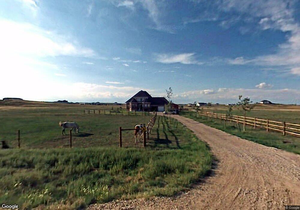
1020 N Star Loop Cheyenne, WY 82009
Ranchettes NeighborhoodEstimated Value: $873,910 - $939,000
About This Home
This home is located at 1020 N Star Loop, Cheyenne, WY 82009 and is currently estimated at $901,637, approximately $371 per square foot. 1020 N Star Loop is a home located in Laramie County with nearby schools including Prairie Wind Elementary School, McCormick Junior High School, and Central High School.
Ownership History
We collect this data history from publicly available records. To have your information removed, we recommend requesting removal directly through your county’s website.
Purchase Details
Purchase Details
Home Financials for this Owner
Home Financials are based on the most recent Mortgage that was taken out on this home.Purchase Details
Home Financials for this Owner
Home Financials are based on the most recent Mortgage that was taken out on this home.Home Values in the Area
Average Home Value in this Area
Purchase History
We collect this data history from publicly available records. To have your information removed, we recommend requesting removal directly through your county’s website.
| Date | Buyer | Sale Price | Title Company |
|---|---|---|---|
| -- | First American | ||
| -- | -- | ||
| -- | -- |
Mortgage History
We collect this data history from publicly available records. To have your information removed, we recommend requesting removal directly through your county’s website.
| Date | Status | Borrower | Loan Amount |
|---|---|---|---|
| Previous Owner | $287,600 | ||
| Previous Owner | $46,857 | ||
| Closed | $53,100 |
Tax History
We collect this data history from publicly available records. To have your information removed, we recommend requesting removal directly through your county’s website.
| Year | Tax Paid | Tax Assessment Tax Assessment Total Assessment is a certain percentage of the fair market value that is determined by local assessors to be the total taxable value of land and additions on the property. | Land | Improvement |
|---|---|---|---|---|
| 2025 | $3,951 | $57,717 | $6,690 | $51,027 |
| 2024 | $5,023 | $74,730 | $8,920 | $65,810 |
| 2023 | $4,767 | $72,541 | $8,920 | $63,621 |
| 2022 | $4,246 | $63,205 | $8,625 | $54,580 |
| 2021 | $3,993 | $59,299 | $8,329 | $50,970 |
| 2020 | $3,947 | $58,787 | $8,329 | $50,458 |
| 2019 | $3,783 | $56,301 | $8,329 | $47,972 |
| 2018 | $3,622 | $54,445 | $8,329 | $46,116 |
| 2017 | $3,603 | $53,645 | $8,329 | $45,316 |
| 2016 | $3,597 | $53,528 | $8,771 | $44,757 |
| 2015 | $3,510 | $52,213 | $8,771 | $43,442 |
| 2014 | $3,481 | $51,423 | $8,434 | $42,989 |
Map
- 1010 Iron Mountain Rd
- 10718 W Polo Plate
- 136 E David St
- Tract 13 Seven Xl Ct
- Tr 19 Old Faithful Way
- 10110 Branding Iron Dr
- 1002 Haven Ct
- Tract 11 Haven Ct
- Tract 7 Haven Ct
- 1409 Wineglass Rd
- 10423 Beartooth Dr
- 600 Pony Express Rd
- Tract 83 Jk Trail
- 416 E Longhorn Rd
- 714 E Ole Maverick Rd
- Lot 5 Mccrae Rd
- 8704 Cowpoke Rd
- 0 Road 135 Unit 98864
- TBD Jk Trail
- Lot 1, Block 1 Coyote Flats
- 1010 N Star Loop
- 1017 N Star Loop
- 1005 Orion Dr
- 1303 N Star Loop
- 11505 Polaris Point
- 1107 Orion Dr
- 909 Orion Dr
- 1209 Orion Dr
- 909 N Star Loop
- 900 N Star Loop
- 11607 Polaris Point
- 1300 N Star Loop
- 1411 N Star Loop
- 1106 Orion Dr
- 910 Orion Dr
- 1311 Orion Dr
- 11055 Coonrod Rd
- 1400 N Star Loop
- 811 N Star Loop
- 1202 Orion Dr
Ask me questions while you tour the home.