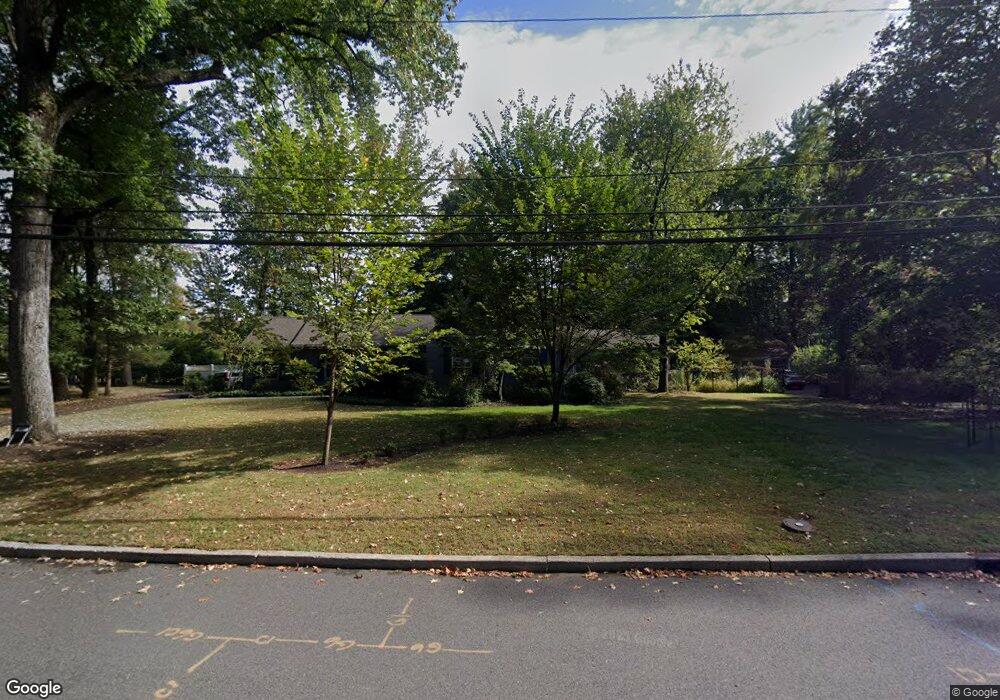
1020 Oakland Ave Unit 36 Plainfield, NJ 07060
Estimated Value: $601,248 - $837,000
--
Bed
--
Bath
1,803
Sq Ft
$378/Sq Ft
Est. Value
About This Home
This home is located at 1020 Oakland Ave Unit 36, Plainfield, NJ 07060 and is currently estimated at $681,312, approximately $377 per square foot. 1020 Oakland Ave Unit 36 is a home located in Union County with nearby schools including Charles and Anna Booker School, Maxson Middle School, and Plainfield High School.
Ownership History
Date
Name
Owned For
Owner Type
Purchase Details
Closed on
Dec 3, 2010
Sold by
Cascio Stacy J and Rubino Michael J
Bought by
Sedwin Neil A and Sedwin Susan G
Current Estimated Value
Home Financials for this Owner
Home Financials are based on the most recent Mortgage that was taken out on this home.
Original Mortgage
$210,000
Outstanding Balance
$138,884
Interest Rate
4.24%
Mortgage Type
New Conventional
Estimated Equity
$542,428
Create a Home Valuation Report for This Property
The Home Valuation Report is an in-depth analysis detailing your home's value as well as a comparison with similar homes in the area
Home Values in the Area
Average Home Value in this Area
Purchase History
| Date | Buyer | Sale Price | Title Company |
|---|---|---|---|
| Sedwin Neil A | $350,000 | Chicago Title Insurance Co |
Source: Public Records
Mortgage History
| Date | Status | Borrower | Loan Amount |
|---|---|---|---|
| Open | Sedwin Neil A | $210,000 |
Source: Public Records
Tax History Compared to Growth
Tax History
| Year | Tax Paid | Tax Assessment Tax Assessment Total Assessment is a certain percentage of the fair market value that is determined by local assessors to be the total taxable value of land and additions on the property. | Land | Improvement |
|---|---|---|---|---|
| 2025 | $12,434 | $142,400 | $82,600 | $59,800 |
| 2024 | $12,312 | $142,400 | $82,600 | $59,800 |
| 2023 | $12,312 | $142,400 | $82,600 | $59,800 |
| 2022 | $12,046 | $142,400 | $82,600 | $59,800 |
| 2021 | $11,940 | $142,400 | $82,600 | $59,800 |
| 2020 | $11,906 | $142,400 | $82,600 | $59,800 |
| 2019 | $11,906 | $142,400 | $82,600 | $59,800 |
| 2018 | $11,657 | $142,400 | $82,600 | $59,800 |
| 2017 | $11,372 | $142,400 | $82,600 | $59,800 |
| 2016 | $11,140 | $142,400 | $82,600 | $59,800 |
| 2015 | $10,811 | $142,400 | $82,600 | $59,800 |
| 2014 | -- | $142,400 | $82,600 | $59,800 |
Source: Public Records
Map
Nearby Homes
- 1627 Prospect Ave Unit 47
- 1009 Mayfair Way
- 1231 Rahway Rd
- 1232 Sunnyfield Ln
- 1224 Sunnyfield Ln
- 771 Ravine Rd
- 767 Ravine Rd Unit 73
- 714 Dixie Ln
- 1158 Woodmere Place
- 1505 Charlotte Rd
- 1342 Lake St
- 1343 Putnam Ave Unit 45
- 19 Ravenswood Ln
- 1354 Chetwynd Ave Unit 58
- 49 Highlander Dr
- 1358 Marlborough Ave Unit 60
- 842 Berkeley Ave
- 810 Leland Ave Unit 14
- 1305 Sunnyside Place Unit 9
- 633 Woodland Ave Unit 37
- 1038 Oakland Ave Unit 50
- 1000 Oakland Ave Unit 18
- 1673 Prospect Ave Unit 77
- 1667 Prospect Ave Unit 71
- 1659 Prospect Ave
- 1677 Prospect Ave Unit 1
- 1035 Mayfair Way Unit 47
- 1028 Mayfair Way Unit 42
- 1052-58 Oakland Ave
- 1052 Oakland Ave Unit 58
- 1054 Oakland Ave
- 1655 Prospect Ave Unit 65
- R1673-77 Prospect Ave
- 1003 Oakland Ave Unit 11
- 1011 Oakland Ave
- 1066 Oakland Ave
- 990 Oakland Ave Unit 98
- 1060 Oakland Ave Unit 66
- 1000-18 Glenwood Ave
- 1664 Prospect Ave Unit 72
