1020 Plat B Rd Sutherlin, OR 97479
Fair Oaks NeighborhoodEstimated Value: $648,541 - $679,000
3
Beds
2
Baths
3,020
Sq Ft
$220/Sq Ft
Est. Value
About This Home
This home is located at 1020 Plat B Rd, Sutherlin, OR 97479 and is currently estimated at $663,771, approximately $219 per square foot. 1020 Plat B Rd is a home located in Douglas County with nearby schools including East Sutherlin Primary School, West Sutherlin Intermediate School, and Sutherlin Middle School.
Ownership History
Date
Name
Owned For
Owner Type
Purchase Details
Closed on
Jun 12, 2017
Sold by
Pepiot Aaron and Pepiot Dicy
Bought by
George Clarence Albert and George Mary Ellen
Current Estimated Value
Home Financials for this Owner
Home Financials are based on the most recent Mortgage that was taken out on this home.
Original Mortgage
$324,000
Outstanding Balance
$268,203
Interest Rate
4.02%
Mortgage Type
New Conventional
Estimated Equity
$395,568
Purchase Details
Closed on
Jun 15, 2013
Sold by
Pepiot Aaron and Pepiot Dicy
Bought by
Pepiot Aaron and Pepiot Dicy
Home Financials for this Owner
Home Financials are based on the most recent Mortgage that was taken out on this home.
Original Mortgage
$162,000
Interest Rate
3.48%
Mortgage Type
VA
Create a Home Valuation Report for This Property
The Home Valuation Report is an in-depth analysis detailing your home's value as well as a comparison with similar homes in the area
Home Values in the Area
Average Home Value in this Area
Purchase History
| Date | Buyer | Sale Price | Title Company |
|---|---|---|---|
| George Clarence Albert | $405,000 | Cascade Title Co | |
| Pepiot Aaron | -- | Amerititle |
Source: Public Records
Mortgage History
| Date | Status | Borrower | Loan Amount |
|---|---|---|---|
| Open | George Clarence Albert | $324,000 | |
| Previous Owner | Pepiot Aaron | $162,000 |
Source: Public Records
Tax History Compared to Growth
Tax History
| Year | Tax Paid | Tax Assessment Tax Assessment Total Assessment is a certain percentage of the fair market value that is determined by local assessors to be the total taxable value of land and additions on the property. | Land | Improvement |
|---|---|---|---|---|
| 2025 | $12 | $1,925 | $1,925 | -- |
| 2024 | $12 | $1,923 | $1,923 | -- |
| 2023 | $12 | $1,921 | $0 | $0 |
| 2022 | $12 | $1,919 | $0 | $0 |
| 2021 | $12 | $1,903 | $0 | $0 |
| 2020 | $12 | $247,575 | $0 | $0 |
| 2019 | $11 | $1,797 | $0 | $0 |
| 2016 | $11 | $1,650 | $0 | $0 |
| 2015 | $11 | $1,602 | $0 | $0 |
| 2014 | $11 | $1,556 | $0 | $0 |
| 2013 | -- | $245,114 | $0 | $0 |
Source: Public Records
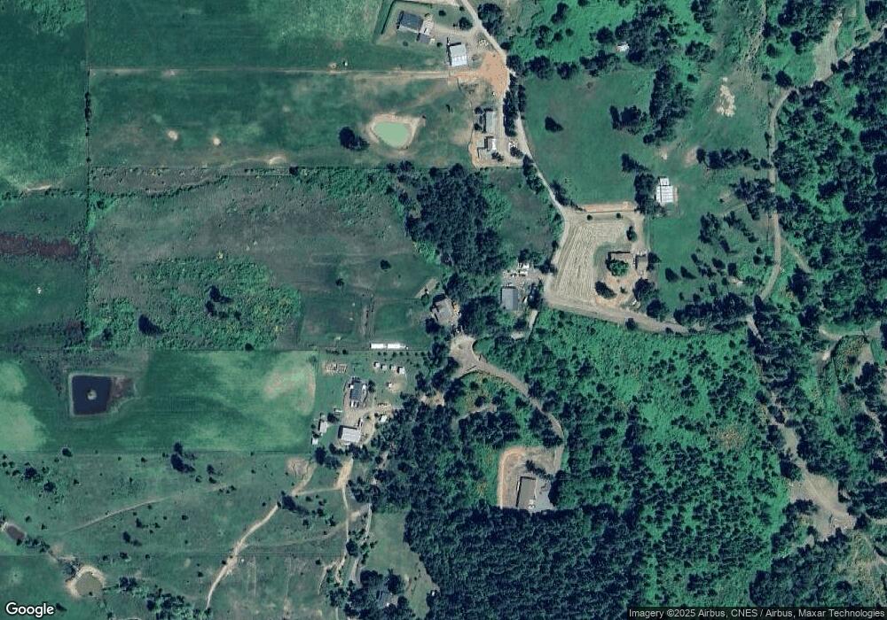
Map
Nearby Homes
- 557 Plat B Rd
- 161 South Ave
- 1300 Fair Oaks Rd
- 339 Justa Ln
- 205 Fair Oaks Rd
- 7858 Nonpareil Rd
- 1555 Northside Rd
- 250 Valley View Rd
- 1175 Northside Rd
- 475 Thomas (+471) Rd
- 402 Northside Rd
- 660 Jade St
- 1762 E Fourth Ave
- 1732 E Sixth Ave
- 1853 Ridge Water Dr
- 1870 Lakeview Dr
- 337 Arvilla Ct
- 337 S Grove Ln
- 229 N Grove Ln
- 1316 Sunny Ct
- 1022 Plat B Rd
- 990 Plat B Rd
- 901 Plat B Rd
- 1021 Plat B Rd
- 838 Plat B Rd
- 740 Plat B Rd
- 760 Plat B Rd
- 649 Fir Vista Rd
- 467 Plat B Rd
- 436 Plat B Rd
- 1086 Plat B Rd
- 601 Fir Vista Rd
- 783 Fir Vista Rd
- 5393 Nonpareil Rd
- 5993 Nonpareil Rd
- 5900 Nonpareil Rd
- 5480 Nonpareil Rd
- 6035 Nonpareil Rd
- 449 Fir Vista Rd