1020 Price Station Rd Church Hill, MD 21623
Estimated Value: $284,000 - $1,304,000
--
Bed
1
Bath
1,304
Sq Ft
$460/Sq Ft
Est. Value
About This Home
This home is located at 1020 Price Station Rd, Church Hill, MD 21623 and is currently estimated at $599,615, approximately $459 per square foot. 1020 Price Station Rd is a home located in Queen Anne's County with nearby schools including Kennard Elementary School, Centreville Middle School, and Queen Anne's County High School.
Ownership History
Date
Name
Owned For
Owner Type
Purchase Details
Closed on
May 8, 2020
Sold by
Dean Howard A
Bought by
Dean Howard A
Current Estimated Value
Purchase Details
Closed on
Sep 16, 2014
Sold by
Roser Barbara Faye and Bandiere Cora Diane
Bought by
Dean Howard A
Purchase Details
Closed on
Sep 15, 2011
Sold by
Dean Anna Rebecca
Bought by
Dean Howard A and Dean Roser Barbara Faye
Purchase Details
Closed on
Aug 30, 2011
Sold by
Dean Anna Rebecca
Bought by
Dean Howard A and Dean Roser Barbara Faye
Create a Home Valuation Report for This Property
The Home Valuation Report is an in-depth analysis detailing your home's value as well as a comparison with similar homes in the area
Home Values in the Area
Average Home Value in this Area
Purchase History
| Date | Buyer | Sale Price | Title Company |
|---|---|---|---|
| Dean Howard A | -- | None Available | |
| Dean Howard A | $750,000 | Talbot Title Company Inc | |
| Dean Howard A | -- | -- | |
| Dean Howard A | -- | -- | |
| Dean Howard A | -- | -- | |
| Dean Howard A | -- | None Available | |
| Dean Howard A | -- | -- |
Source: Public Records
Tax History Compared to Growth
Tax History
| Year | Tax Paid | Tax Assessment Tax Assessment Total Assessment is a certain percentage of the fair market value that is determined by local assessors to be the total taxable value of land and additions on the property. | Land | Improvement |
|---|---|---|---|---|
| 2025 | $960 | $120,800 | $118,300 | $2,500 |
| 2024 | $944 | $119,133 | $0 | $0 |
| 2023 | $928 | $117,467 | $0 | $0 |
| 2022 | $912 | $115,800 | $113,300 | $2,500 |
| 2021 | $927 | $115,800 | $113,300 | $2,500 |
| 2020 | $927 | $115,800 | $113,300 | $2,500 |
| 2019 | $1,786 | $180,000 | $113,100 | $66,900 |
| 2018 | $1,758 | $177,033 | $0 | $0 |
| 2017 | $1,729 | $174,067 | $0 | $0 |
| 2016 | -- | $171,100 | $0 | $0 |
| 2015 | $1,745 | $171,100 | $0 | $0 |
| 2014 | $1,745 | $171,100 | $0 | $0 |
Source: Public Records
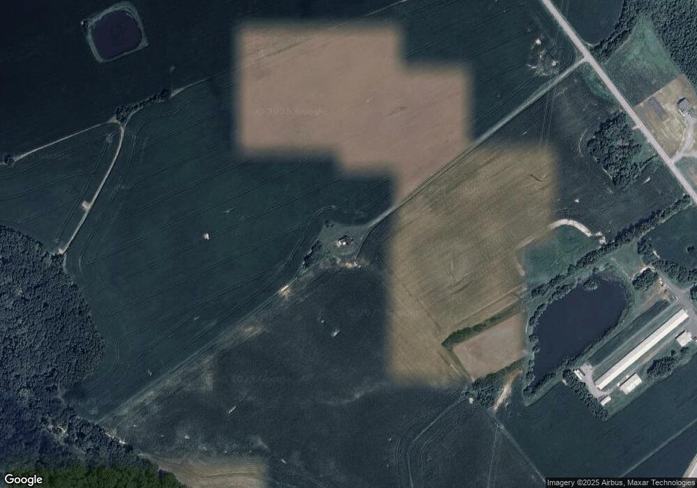
Map
Nearby Homes
- 1040 Price Station Rd
- 272 Granny Branch Rd
- 217 Austin Ct
- 0 Eagle Manor Lot 20 Dr
- 107 Condor Ct
- 326 Eagle Manor Dr
- 0 Eagle Manor ( Lot 20) Dr
- 441 Eagle Manor Dr
- 3355 Church Hill Rd
- 304 Main St
- Sparks Corner Sparks Mill at Route 213 Rd
- Sparks Mill Corner - Sparks Mill at Route 213 Rd
- 115 Cemetery Ln
- 202 Everett Ln
- 126 Finley Creek Dr
- LOT 4 Finley Creek Dr
- 216 Brix Dr
- 129 Thicket Ct
- 107 Thicket Ct
- 219 Songbird Ln
- 1039 Price Station Rd
- 1050 Price Station Rd
- 1043 Price Station Rd
- 161 Casper Ln
- 1060 Price Station Rd
- 425 Granny Branch Rd
- 105 Cedar Ln
- 431 Granny Branch Rd
- 115 Lynch Ct
- 437 Granny Branch Rd
- 443 Granny Branch Rd
- 123 Lynch Ct
- 1100 Price Station Rd
- 116 Lynch Ct
- 131 Lynch Ct
- 1104 Price Station Rd
- 1103 Price Station Rd
- 122 Lynch Ct
- 1108 Price Station Rd
- 105 Rabbit Hill Rd