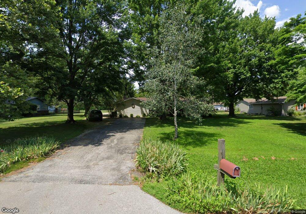
1020 Rustic Ln Whiteland, IN 46184
Estimated Value: $350,000 - $378,000
3
Beds
2
Baths
2,452
Sq Ft
$146/Sq Ft
Est. Value
About This Home
This home is located at 1020 Rustic Ln, Whiteland, IN 46184 and is currently estimated at $358,805, approximately $146 per square foot. 1020 Rustic Ln is a home located in Johnson County with nearby schools including Pleasant Crossing Elementary School, Clark-Pleasant Middle School, and Whiteland Community High School.
Ownership History
Date
Name
Owned For
Owner Type
Purchase Details
Closed on
Aug 17, 2017
Sold by
Pflumm Matthew A and Pflumm Jessica
Bought by
Palmer Nathan A and Palmer April J
Current Estimated Value
Home Financials for this Owner
Home Financials are based on the most recent Mortgage that was taken out on this home.
Original Mortgage
$137,900
Outstanding Balance
$115,067
Interest Rate
3.96%
Estimated Equity
$243,738
Purchase Details
Closed on
Jul 10, 2014
Sold by
Gillespie Michael S and Gillespie Melissa E
Bought by
Pflumm Matthew A and Pflumm Jessica
Home Financials for this Owner
Home Financials are based on the most recent Mortgage that was taken out on this home.
Original Mortgage
$140,000
Interest Rate
4.2%
Create a Home Valuation Report for This Property
The Home Valuation Report is an in-depth analysis detailing your home's value as well as a comparison with similar homes in the area
Home Values in the Area
Average Home Value in this Area
Purchase History
| Date | Buyer | Sale Price | Title Company |
|---|---|---|---|
| Palmer Nathan A | -- | -- | |
| Pflumm Matthew A | -- | None Available |
Source: Public Records
Mortgage History
| Date | Status | Borrower | Loan Amount |
|---|---|---|---|
| Open | Palmer Nathan A | $137,900 | |
| Previous Owner | Pflumm Matthew A | $140,000 |
Source: Public Records
Tax History
| Year | Tax Paid | Tax Assessment Tax Assessment Total Assessment is a certain percentage of the fair market value that is determined by local assessors to be the total taxable value of land and additions on the property. | Land | Improvement |
|---|---|---|---|---|
| 2025 | $2,720 | $380,700 | $41,700 | $339,000 |
| 2024 | $2,720 | $297,200 | $41,700 | $255,500 |
| 2023 | $2,787 | $288,600 | $41,700 | $246,900 |
| 2022 | $2,968 | $285,900 | $32,000 | $253,900 |
| 2021 | $2,423 | $233,000 | $32,000 | $201,000 |
| 2020 | $2,150 | $205,900 | $29,100 | $176,800 |
| 2019 | $1,945 | $187,800 | $27,100 | $160,700 |
| 2018 | $1,878 | $188,200 | $27,100 | $161,100 |
| 2017 | $1,794 | $178,400 | $27,100 | $151,300 |
| 2016 | $1,704 | $178,500 | $27,100 | $151,400 |
| 2014 | $1,494 | $146,300 | $26,600 | $119,700 |
| 2013 | $1,494 | $149,400 | $26,600 | $122,800 |
Source: Public Records
Map
Nearby Homes
- 731 W 600 N
- 5861 N 75 W
- 346 Switchgrass Ln
- 3258 Hemlock St
- 1052 Hilltop Commons Blvd
- 3088 Limber Pine Dr
- 126 Tracy Ridge Blvd
- 2914 Branch St
- 821 Princeton Dr
- 1062 Berwyn Rd
- 143 Tracy Ridge Blvd
- 817 Sylvan St
- 847 Sylvan St
- 138 Crestwood Dr
- 1039 Old Adobe Ln
- 217 Crestwood Dr
- 451 Mooreland Dr
- 2777 Grand Fir Dr
- 153 Parkview Dr
- 250 Southlane Dr
Your Personal Tour Guide
Ask me questions while you tour the home.