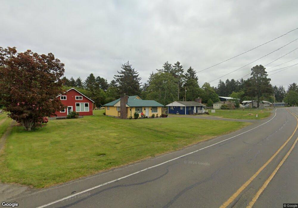
1020 S Forrest St Westport, WA 98595
Estimated Value: $254,000 - $348,000
2
Beds
2
Baths
1,148
Sq Ft
$274/Sq Ft
Est. Value
About This Home
This home is located at 1020 S Forrest St, Westport, WA 98595 and is currently estimated at $314,522, approximately $273 per square foot. 1020 S Forrest St is a home with nearby schools including Ocosta Elementary School and Ocosta Junior/Senior High School.
Ownership History
Date
Name
Owned For
Owner Type
Purchase Details
Closed on
May 19, 2006
Sold by
Stockwell Lois
Bought by
Moren John A and Moren Rita
Current Estimated Value
Home Financials for this Owner
Home Financials are based on the most recent Mortgage that was taken out on this home.
Original Mortgage
$132,000
Outstanding Balance
$76,972
Interest Rate
6.52%
Mortgage Type
New Conventional
Estimated Equity
$237,550
Create a Home Valuation Report for This Property
The Home Valuation Report is an in-depth analysis detailing your home's value as well as a comparison with similar homes in the area
Home Values in the Area
Average Home Value in this Area
Purchase History
| Date | Buyer | Sale Price | Title Company |
|---|---|---|---|
| Moren John A | $165,000 | Grays Harbor Title |
Source: Public Records
Mortgage History
| Date | Status | Borrower | Loan Amount |
|---|---|---|---|
| Open | Moren John A | $132,000 |
Source: Public Records
Tax History Compared to Growth
Tax History
| Year | Tax Paid | Tax Assessment Tax Assessment Total Assessment is a certain percentage of the fair market value that is determined by local assessors to be the total taxable value of land and additions on the property. | Land | Improvement |
|---|---|---|---|---|
| 2025 | $1,844 | $216,623 | $48,184 | $168,439 |
| 2023 | $1,652 | $184,730 | $41,895 | $142,835 |
| 2022 | $2,040 | $177,144 | $19,950 | $157,194 |
| 2021 | $1,850 | $177,144 | $19,950 | $157,194 |
| 2020 | $1,940 | $146,873 | $19,000 | $127,873 |
| 2019 | $1,738 | $147,523 | $17,000 | $130,523 |
| 2018 | $1,703 | $135,657 | $17,000 | $118,657 |
| 2017 | $1,199 | $118,706 | $17,000 | $101,706 |
| 2016 | $1,239 | $101,755 | $17,000 | $84,755 |
| 2014 | -- | $99,460 | $17,000 | $82,460 |
| 2013 | -- | $149,865 | $20,000 | $129,865 |
Source: Public Records
Map
Nearby Homes
- 21 XX S Forrest St
- 522 W Newell Ave
- 520 W Newell Ave
- 802 S Forrest St Unit 16
- 802 S Forrest St Unit 1
- 1306 Melbourne Ct
- 800 S Melbourne St
- 1302 S Melbourne St
- 608 S Forrest St
- 1213 Johnson St
- 710 S Hancock Ave Unit 419+
- 710 S Hancock Ave Unit 328
- 710 S Hancock Ave Unit 102&3
- 710 S Hancock Ave Unit 111
- 710 S Hancock Ave Unit 301
- 710 S Hancock Ave Unit 308
- 0 W Park Ave
- 603 W Veterans Ave
- 711 S Broadway
- 507 W Veterans Ave
- 1030 S Forrest St
- 1010 S Forrest St
- 0 Pine Ave Unit 872162
- 0 Pine Ave Unit 511995
- 1104 S Forrest St
- 1021 S Forrest St
- 1019 S Forrest St
- 1023 S Forrest St
- 539 W Pine Ave
- 922 S Forrest St
- 1120 S Forrest St
- 1005 S Forrest St
- 526 W Newell Ave
- 1128 S Forrest St
- 920 S Forrest St
- 623 Newell Ave W
- 1920 S Forrest St
- 24 XX S Forrest St
- 20 XX S Forrest St
- 0 Jetty View Unit 776580