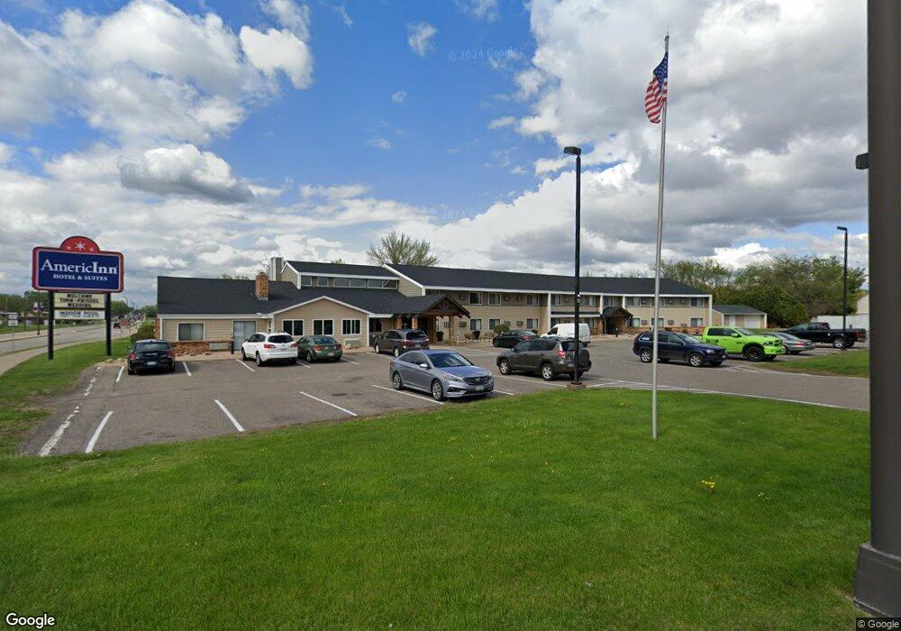
1020 S Knowles Ave New Richmond, WI 54017
Estimated Value: $3,646,808
--
Bed
--
Bath
--
Sq Ft
1.45
Acres
About This Home
This home is located at 1020 S Knowles Ave, New Richmond, WI 54017 and is currently estimated at $3,646,808. 1020 S Knowles Ave is a home located in St. Croix County with nearby schools including New Richmond High School and St. Mary School.
Ownership History
Date
Name
Owned For
Owner Type
Purchase Details
Closed on
Feb 28, 2017
Sold by
New Richmond Motel Properties Llc
Bought by
1020 South Knowles Llc
Current Estimated Value
Home Financials for this Owner
Home Financials are based on the most recent Mortgage that was taken out on this home.
Original Mortgage
$145,000
Outstanding Balance
$120,309
Interest Rate
4.19%
Mortgage Type
Unknown
Estimated Equity
$3,526,499
Create a Home Valuation Report for This Property
The Home Valuation Report is an in-depth analysis detailing your home's value as well as a comparison with similar homes in the area
Home Values in the Area
Average Home Value in this Area
Purchase History
| Date | Buyer | Sale Price | Title Company |
|---|---|---|---|
| 1020 South Knowles Llc | $1,955,000 | None Available |
Source: Public Records
Mortgage History
| Date | Status | Borrower | Loan Amount |
|---|---|---|---|
| Open | 1020 South Knowles Llc | $145,000 | |
| Open | 1020 South Knowles Llc | $1,955,000 |
Source: Public Records
Tax History Compared to Growth
Tax History
| Year | Tax Paid | Tax Assessment Tax Assessment Total Assessment is a certain percentage of the fair market value that is determined by local assessors to be the total taxable value of land and additions on the property. | Land | Improvement |
|---|---|---|---|---|
| 2024 | $296 | $1,955,000 | $483,600 | $1,471,400 |
| 2023 | $32,344 | $1,955,000 | $483,600 | $1,471,400 |
| 2022 | $31,289 | $1,955,000 | $483,600 | $1,471,400 |
| 2021 | $42,873 | $1,955,000 | $483,600 | $1,471,400 |
| 2020 | $43,963 | $1,764,900 | $372,000 | $1,392,900 |
| 2019 | $41,722 | $1,764,900 | $372,000 | $1,392,900 |
| 2018 | $41,691 | $1,764,900 | $372,000 | $1,392,900 |
| 2017 | $40,259 | $1,764,900 | $372,000 | $1,392,900 |
| 2016 | $40,259 | $1,764,900 | $372,000 | $1,392,900 |
| 2015 | $40,810 | $1,764,900 | $372,000 | $1,392,900 |
| 2014 | $39,934 | $1,764,900 | $372,000 | $1,392,900 |
| 2013 | $39,092 | $1,764,900 | $372,000 | $1,392,900 |
Source: Public Records
Map
Nearby Homes
- 1131 Alfred Place
- 1208 Tierney Dr
- 114 E 6th St Unit A
- 425 W 8th St Unit 23
- 425 W 8th St Unit 24
- 425 W 8th St Unit 19
- 425 W 8th St Unit 20
- 425 W 8th St Unit 22
- 425 W 8th St Unit 21
- 619 Chestnut Dr
- 425 Paperjack Dr
- 637 Maple Ct
- 659 Park Ave
- 572 Williamsburg Place
- 548 W 4th St
- 524 Cassandra Dr Unit 44
- 1575 Evan Ct
- XXX 140th Ave
- 941 W Edge Place Unit 14
- 1016 W Ridge Ct
- 118 Homestead Dr
- 1200 Heritage Dr
- 1200 Heritage Dr
- 1261 Heritage Dr
- 1261 Heritage Dr
- 246 Tierney Dr
- 315 Tierney Dr
- 1131 Alfred Dr
- 121 Meridian Dr
- 308 Tierney Dr
- 1151 Alfred Place
- 1244 Doman Dr
- 227 Meridian Dr
- 334 Tierney Dr
- 1252 Doman Dr
- 1185 S Knowles Ave
- 1285 Doman Dr
- 1239 Tierney Dr
- 1172 Alfred Place
- 869 S Knowles Ave