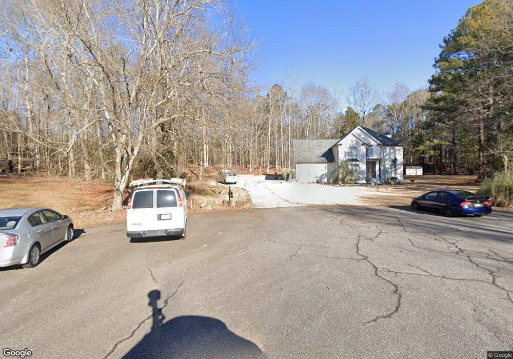
1020 Sidney Cir Watkinsville, GA 30677
Estimated Value: $498,089 - $592,000
--
Bed
--
Bath
2,725
Sq Ft
$198/Sq Ft
Est. Value
About This Home
This home is located at 1020 Sidney Cir, Watkinsville, GA 30677 and is currently estimated at $539,522, approximately $197 per square foot. 1020 Sidney Cir is a home located in Oconee County with nearby schools including Oconee County Elementary School, Oconee County Primary School, and Oconee County Middle School.
Ownership History
Date
Name
Owned For
Owner Type
Purchase Details
Closed on
Feb 19, 2025
Sold by
D & B Land Ventures Llc
Bought by
Clark Daniel
Current Estimated Value
Purchase Details
Closed on
Jun 21, 2019
Sold by
Mattox John E
Bought by
D & B Land Ventures Llc
Purchase Details
Closed on
Feb 28, 1994
Bought by
Mattox John E
Create a Home Valuation Report for This Property
The Home Valuation Report is an in-depth analysis detailing your home's value as well as a comparison with similar homes in the area
Home Values in the Area
Average Home Value in this Area
Purchase History
| Date | Buyer | Sale Price | Title Company |
|---|---|---|---|
| Clark Daniel | -- | -- | |
| D & B Land Ventures Llc | $275,000 | -- | |
| Mattox John E | $151,500 | -- |
Source: Public Records
Tax History Compared to Growth
Tax History
| Year | Tax Paid | Tax Assessment Tax Assessment Total Assessment is a certain percentage of the fair market value that is determined by local assessors to be the total taxable value of land and additions on the property. | Land | Improvement |
|---|---|---|---|---|
| 2024 | $3,155 | $165,687 | $30,000 | $135,687 |
| 2023 | $3,122 | $154,488 | $26,000 | $128,488 |
| 2022 | $2,987 | $137,994 | $26,000 | $111,994 |
| 2021 | $2,972 | $127,218 | $26,000 | $101,218 |
| 2020 | $2,970 | $126,970 | $26,000 | $100,970 |
| 2019 | $2,385 | $103,726 | $26,000 | $77,726 |
| 2018 | $2,335 | $99,463 | $24,000 | $75,463 |
| 2017 | $2,236 | $95,275 | $24,000 | $71,275 |
| 2016 | $2,127 | $90,678 | $24,000 | $66,678 |
| 2015 | $2,037 | $86,932 | $24,000 | $62,932 |
| 2014 | $2,013 | $84,160 | $24,000 | $60,160 |
| 2013 | -- | $85,207 | $28,000 | $57,207 |
Source: Public Records
Map
Nearby Homes
- 1030 Rossiter Ct
- 1040 Rossiter Ct
- 2041 Simonton Bridge Rd
- 2061 Simonton Bridge Rd
- 2190 Simonton Bridge Rd
- 2240 Simonton Bridge Rd
- 1682 River Bank Ln
- 1061 Riverside Dr
- 1250 Calls Creek Cir
- 1010 Overton Way
- 1051 Simonton Way
- 1145 Watson Ln Unit E3
- 1311 Watson Ln Unit E8
- 1171 Watson Ln Unit E4
- 1195 Watson Ln Unit E5
- 1170 Watson Ln Unit F5
- Laurel Plan at Wire Park - Trillium
- 1061 Victoria Crossing
- 1041 Victoria Crossing
- 1081 Victoria Crossing
- 1011 Station Dr
- 1060 Victoria Crossing
- 1011 Victoria Crossing
- 1040 Victoria Crossing
- 1031 Station Dr
- 1080 Victoria Crossing
- 1320 Broadlands Dr
- 1010 Victoria Crossing
- 1101 Victoria Crossing
- 1010 Station Dr
- 1231 Broadlands Dr
- 1100 Victoria Crossing
- 1021 Trestle Run
- 1050 Station Dr
- 1101 Station Dr Unit 1
- 1101 Station Dr
- 1211 Broadlands Dr