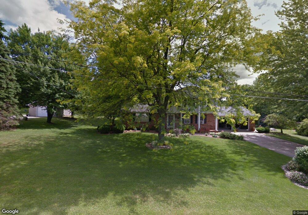
1020 Skyline Dr Mansfield, OH 44903
Estimated Value: $294,272 - $361,000
3
Beds
2
Baths
2,440
Sq Ft
$134/Sq Ft
Est. Value
About This Home
This home is located at 1020 Skyline Dr, Mansfield, OH 44903 and is currently estimated at $326,568, approximately $133 per square foot. 1020 Skyline Dr is a home located in Richland County with nearby schools including Lucas Elementary School, Lucas Heritage Middle School, and Lucas High School.
Ownership History
Date
Name
Owned For
Owner Type
Purchase Details
Closed on
Apr 15, 2016
Sold by
Fasig Beverly K and Fasig Thomas
Bought by
Fasig Beverly K
Current Estimated Value
Purchase Details
Closed on
Feb 27, 2004
Sold by
Swanger Michael L and Swanger Beverly K
Bought by
Swanger Beverly K
Home Financials for this Owner
Home Financials are based on the most recent Mortgage that was taken out on this home.
Original Mortgage
$75,000
Interest Rate
5.71%
Mortgage Type
New Conventional
Create a Home Valuation Report for This Property
The Home Valuation Report is an in-depth analysis detailing your home's value as well as a comparison with similar homes in the area
Home Values in the Area
Average Home Value in this Area
Purchase History
| Date | Buyer | Sale Price | Title Company |
|---|---|---|---|
| Fasig Beverly K | -- | Attorney | |
| Swanger Beverly K | -- | Southern Title |
Source: Public Records
Mortgage History
| Date | Status | Borrower | Loan Amount |
|---|---|---|---|
| Closed | Swanger Beverly K | $75,000 |
Source: Public Records
Tax History Compared to Growth
Tax History
| Year | Tax Paid | Tax Assessment Tax Assessment Total Assessment is a certain percentage of the fair market value that is determined by local assessors to be the total taxable value of land and additions on the property. | Land | Improvement |
|---|---|---|---|---|
| 2024 | $3,475 | $79,130 | $8,740 | $70,390 |
| 2023 | $3,475 | $79,130 | $8,740 | $70,390 |
| 2022 | $3,272 | $66,490 | $8,160 | $58,330 |
| 2021 | $3,319 | $66,490 | $8,160 | $58,330 |
| 2020 | $3,128 | $66,490 | $8,160 | $58,330 |
| 2019 | $2,977 | $56,890 | $6,910 | $49,980 |
| 2018 | $2,950 | $56,890 | $6,910 | $49,980 |
| 2017 | $2,892 | $56,890 | $6,910 | $49,980 |
| 2016 | $2,618 | $50,150 | $7,540 | $42,610 |
| 2015 | $2,431 | $49,320 | $6,710 | $42,610 |
| 2014 | $2,421 | $49,320 | $6,710 | $42,610 |
| 2012 | $1,173 | $50,830 | $6,910 | $43,920 |
Source: Public Records
Map
Nearby Homes
- 1875 Mansfield Lucas Rd
- 929 Antionette Dr
- 0 Woodville Rd Unit Lot 14952, 14953
- 0 Woodville Rd Unit Lot 14954, 14955
- 0 Woodville Rd Unit Lot 14956, 14957,
- 1679 Pulver Rd
- 2061 Washington North Rd
- 1135 E Hanley Rd
- 794 Mansfield Washington Rd
- 0 State Route 39 & I-71 Southeast Quadrant
- 0 State Route 39 & I-71 Northeast Quadrant
- 716 Mansfield Washington Rd
- 1599 S Main St
- 1680 S Main St
- 0 Garver Washington Rd S
- 65 Logan Rd
- 405 Plainview Ave
- 0 Yoha Dr
- 129 Elderberry Dr
- 148 Elderberry Dr
- 1018 Skyline Dr
- 1475 Sandy Ln
- 1015 Skyline Dr
- 1400 Washington North Rd
- 1366 Sandy Ln
- 1376 Washington North Rd
- 1500 Mansfield Washington Rd
- 1455 Sandy Ln
- 1372 Mansfield Washington Rd
- 1512 Washington North Rd
- 1350 Sandy Ln
- 1360 Mansfield Washington Rd
- 1441 Sandy Ln
- 1340 Washington North Rd
- 1397 Washington North Rd
- 1440 Sandy Ln
- 1404 Mansfield Washington Rd
- 1425 Sandy Ln
- 1354 Mansfield Washington Rd
- 1455 Washington North Rd