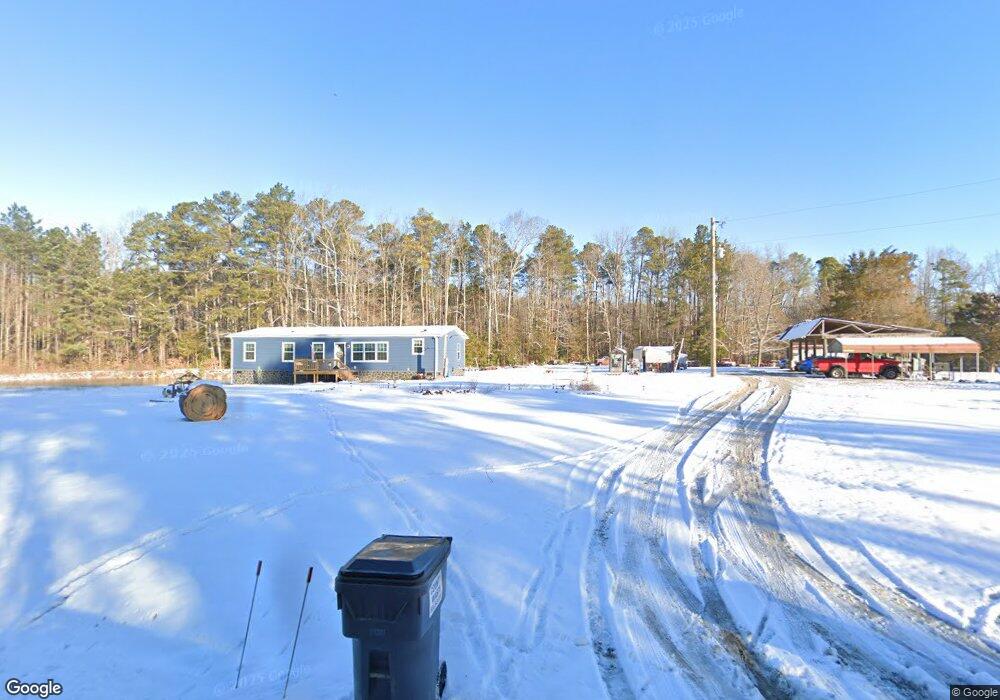
10200 Cattail Rd Chesterfield, VA 23838
South Chesterfield County NeighborhoodEstimated Value: $320,000 - $400,000
3
Beds
2
Baths
1,512
Sq Ft
$231/Sq Ft
Est. Value
About This Home
This home is located at 10200 Cattail Rd, Chesterfield, VA 23838 and is currently estimated at $348,815, approximately $230 per square foot. 10200 Cattail Rd is a home located in Chesterfield County with nearby schools including Matoaca Elementary School, Matoaca Middle School, and Matoaca High School.
Ownership History
Date
Name
Owned For
Owner Type
Purchase Details
Closed on
Feb 12, 2001
Bought by
Dabney Burgin E and Dabney Debbie J
Current Estimated Value
Home Financials for this Owner
Home Financials are based on the most recent Mortgage that was taken out on this home.
Original Mortgage
$13,500
Outstanding Balance
$4,895
Interest Rate
7.13%
Mortgage Type
New Conventional
Estimated Equity
$343,920
Create a Home Valuation Report for This Property
The Home Valuation Report is an in-depth analysis detailing your home's value as well as a comparison with similar homes in the area
Home Values in the Area
Average Home Value in this Area
Purchase History
| Date | Buyer | Sale Price | Title Company |
|---|---|---|---|
| Dabney Burgin E | -- | -- |
Source: Public Records
Mortgage History
| Date | Status | Borrower | Loan Amount |
|---|---|---|---|
| Open | Dabney Burgin E | $13,500 |
Source: Public Records
Tax History Compared to Growth
Tax History
| Year | Tax Paid | Tax Assessment Tax Assessment Total Assessment is a certain percentage of the fair market value that is determined by local assessors to be the total taxable value of land and additions on the property. | Land | Improvement |
|---|---|---|---|---|
| 2025 | $1,861 | $209,100 | $63,000 | $146,100 |
| 2024 | $1,861 | $78,200 | $60,000 | $18,200 |
| 2023 | $693 | $76,200 | $58,000 | $18,200 |
| 2022 | $639 | $69,500 | $56,000 | $13,500 |
| 2021 | $632 | $66,500 | $53,000 | $13,500 |
| 2020 | $619 | $65,200 | $53,000 | $12,200 |
| 2019 | $600 | $63,200 | $51,000 | $12,200 |
| 2018 | $579 | $60,900 | $49,000 | $11,900 |
| 2017 | $570 | $59,400 | $48,000 | $11,400 |
| 2016 | $556 | $57,900 | $47,000 | $10,900 |
| 2015 | $543 | $56,600 | $46,000 | $10,600 |
| 2014 | $536 | $55,800 | $46,000 | $9,800 |
Source: Public Records
Map
Nearby Homes
- 10512 River Rd
- 15609 Rowlett Rd
- 11010 Trents Bridge Rd
- SALEM Plan at Peacefield
- HANOVER Plan at Peacefield
- Hayden Plan at Peacefield
- CALI Plan at Peacefield
- GALEN-Hip Plan at Peacefield
- 11312 Corte Castle Rd
- 9818 Peacefield Ct
- 10200 Graves Rd
- 9819 Graves Rd
- 11851 River Rd
- 9618 Kathleen Dr
- 17416 Chemin Rd
- 15631 Corte Castle Terrace
- 15624 Corte Castle Terrace
- 13200 Nash Rd
- 17513 Kathleen Ct
- 17530 Chemin Rd
- 10210 Cattail Rd
- 10121 Cattail Rd
- 10111 Cattail Rd
- 10211 Cattail Rd
- 10100 Cattail Rd
- 10221 Cattail Rd
- 10101 Cattail Rd
- 10123 Cattail Rd
- 10300 Cattail Rd
- 10320 Cattail Rd
- 10311 Cattail Rd
- 10301 Cattail Rd
- 10321 Cattail Rd
- 14811 Nash Rd
- 10331 Cattail Rd
- 14831 Nash Rd
- 10120 Cattail Rd
- 10500 Cattail Rd
- 10401 Cattail Rd
- 14721 Nash Rd