10200 Gloucester Rd Streetsboro, OH 44241
Estimated Value: $360,000 - $410,000
3
Beds
3
Baths
2,096
Sq Ft
$181/Sq Ft
Est. Value
About This Home
This home is located at 10200 Gloucester Rd, Streetsboro, OH 44241 and is currently estimated at $378,734, approximately $180 per square foot. 10200 Gloucester Rd is a home located in Portage County with nearby schools including Campus Intermediate Elementary School, Henry Defer Intermediate Elementary School, and Streetsboro Middle School.
Ownership History
Date
Name
Owned For
Owner Type
Purchase Details
Closed on
Sep 27, 2000
Sold by
W S Homes
Bought by
Bolyard Richard A and Bolyard Toni M
Current Estimated Value
Home Financials for this Owner
Home Financials are based on the most recent Mortgage that was taken out on this home.
Original Mortgage
$150,400
Outstanding Balance
$52,152
Interest Rate
7.99%
Estimated Equity
$326,582
Purchase Details
Closed on
Dec 23, 1999
Sold by
Whitlatch & Co
Bought by
W S Homes
Create a Home Valuation Report for This Property
The Home Valuation Report is an in-depth analysis detailing your home's value as well as a comparison with similar homes in the area
Home Values in the Area
Average Home Value in this Area
Purchase History
| Date | Buyer | Sale Price | Title Company |
|---|---|---|---|
| Bolyard Richard A | $168,000 | -- | |
| W S Homes | $45,000 | Kaspar & Associates Inc |
Source: Public Records
Mortgage History
| Date | Status | Borrower | Loan Amount |
|---|---|---|---|
| Open | Bolyard Richard A | $150,400 |
Source: Public Records
Tax History
| Year | Tax Paid | Tax Assessment Tax Assessment Total Assessment is a certain percentage of the fair market value that is determined by local assessors to be the total taxable value of land and additions on the property. | Land | Improvement |
|---|---|---|---|---|
| 2025 | $4,600 | $111,020 | $14,000 | $97,020 |
| 2024 | $4,588 | $111,020 | $14,000 | $97,020 |
| 2023 | $4,382 | $86,800 | $12,250 | $74,550 |
| 2022 | $4,388 | $86,800 | $12,250 | $74,550 |
| 2021 | $4,404 | $86,800 | $12,250 | $74,550 |
| 2020 | $4,358 | $78,820 | $12,250 | $66,570 |
| 2019 | $4,399 | $78,820 | $12,250 | $66,570 |
| 2018 | $3,527 | $71,090 | $13,230 | $57,860 |
| 2017 | $3,527 | $71,090 | $13,230 | $57,860 |
| 2016 | $3,529 | $71,090 | $13,230 | $57,860 |
| 2015 | $3,535 | $71,090 | $13,230 | $57,860 |
| 2014 | $3,302 | $65,840 | $12,250 | $53,590 |
| 2013 | $3,289 | $65,840 | $12,250 | $53,590 |
Source: Public Records
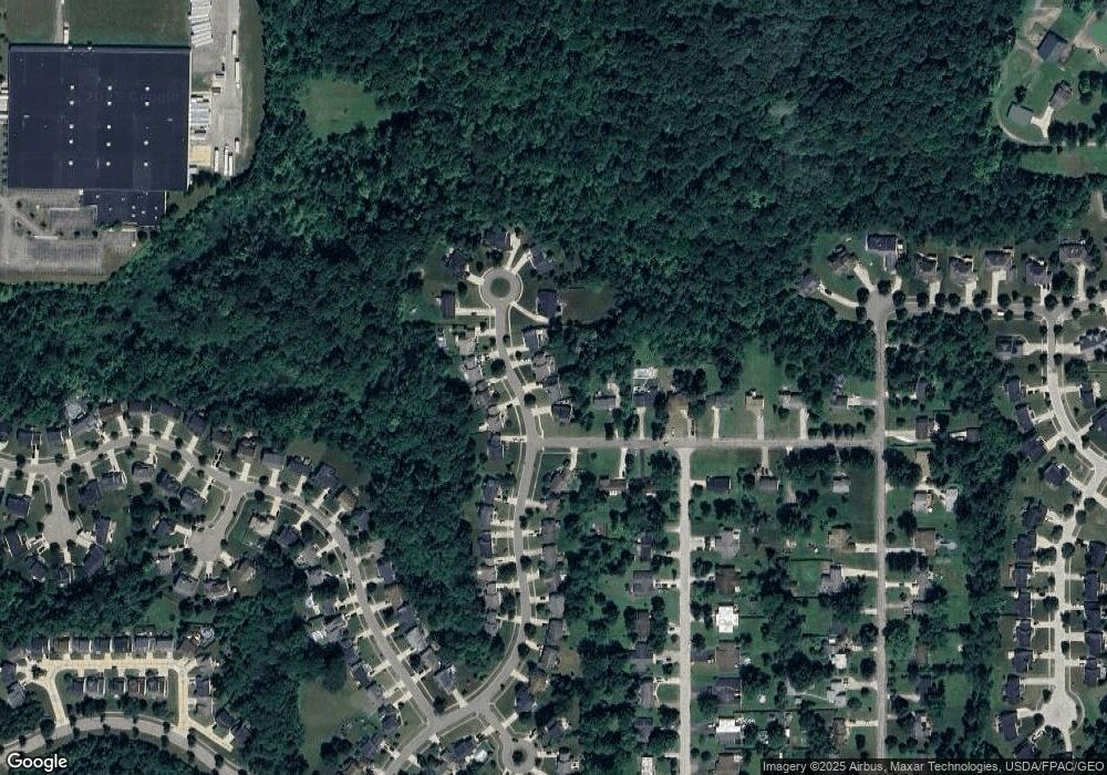
Map
Nearby Homes
- 815 Heath Ln
- 10203 Autumn Cir
- 769 Holborn Rd
- 10218 Ridgeview Ct
- 440 Kimberly Dr
- 1295 Vantage Way
- 572 David Dr
- 9859 State Route 43
- 1426 Lancelot St
- 632 Edmond Ave
- 9978 Mordred Ln
- 10057 William Henry Dr
- 1471 Lancelot St
- 1517 Lady Anne
- 1239 Apache Pass
- 10164 William Henry Dr
- 9979 Lady Catherine
- 1612 Mids Ct
- 10252 Wellman Rd Unit 19
- 448 Equestra N
- 10210 Gloucester Rd
- 10190 Gloucester Rd
- 995 Alden Dr
- 10220 Gloucester Rd
- 10191 Gloucester Rd
- 10201 Gloucester Rd
- 1005 Alden Dr
- 10230 Gloucester Rd
- 10181 Gloucester Rd
- 10180 Gloucester Rd
- 10211 Gloucester Rd
- 10221 Gloucester Rd
- 994 Alden Dr
- 10170 Gloucester Rd
- 1015 Alden Dr
- 10171 Gloucester Rd
- 10240 Gloucester Rd
- 1004 Alden Dr
- 10231 Gloucester Rd
- 10160 Gloucester Rd
Your Personal Tour Guide
Ask me questions while you tour the home.