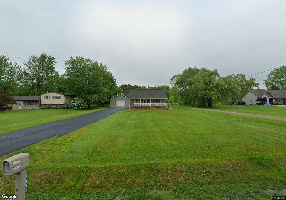
10200 W Stanley Rd Flushing, MI 48433
Estimated Value: $201,000 - $221,346
3
Beds
1
Bath
1,008
Sq Ft
$213/Sq Ft
Est. Value
About This Home
This home is located at 10200 W Stanley Rd, Flushing, MI 48433 and is currently estimated at $214,337, approximately $212 per square foot. 10200 W Stanley Rd is a home located in Genesee County with nearby schools including Elms Elementary School, Flushing Middle School, and Flushing High School.
Ownership History
Date
Name
Owned For
Owner Type
Purchase Details
Closed on
Dec 9, 2008
Sold by
Federal National Mortgage Association
Bought by
Cromwell Lanna
Current Estimated Value
Purchase Details
Closed on
Aug 29, 2007
Sold by
Chase Home Finance Llc
Bought by
Federal National Mortgage Association
Purchase Details
Closed on
Aug 10, 2007
Sold by
Weisberg Michael D
Bought by
Chase Mortgage Co
Purchase Details
Closed on
Jul 27, 2001
Sold by
Abt Adam E and Abt Kristen M
Bought by
Weisberg Michael D
Home Financials for this Owner
Home Financials are based on the most recent Mortgage that was taken out on this home.
Original Mortgage
$85,400
Interest Rate
7.15%
Create a Home Valuation Report for This Property
The Home Valuation Report is an in-depth analysis detailing your home's value as well as a comparison with similar homes in the area
Home Values in the Area
Average Home Value in this Area
Purchase History
| Date | Buyer | Sale Price | Title Company |
|---|---|---|---|
| Cromwell Lanna | $45,100 | Warranty Title Agency Llc | |
| Federal National Mortgage Association | -- | None Available | |
| Chase Mortgage Co | $94,091 | None Available | |
| Weisberg Michael D | $94,900 | First American Title Ins Co |
Source: Public Records
Mortgage History
| Date | Status | Borrower | Loan Amount |
|---|---|---|---|
| Previous Owner | Weisberg Michael D | $85,400 |
Source: Public Records
Tax History Compared to Growth
Tax History
| Year | Tax Paid | Tax Assessment Tax Assessment Total Assessment is a certain percentage of the fair market value that is determined by local assessors to be the total taxable value of land and additions on the property. | Land | Improvement |
|---|---|---|---|---|
| 2025 | $2,344 | $97,600 | $0 | $0 |
| 2024 | $1,241 | $94,200 | $0 | $0 |
| 2023 | $1,184 | $87,800 | $0 | $0 |
| 2022 | $2,086 | $78,100 | $0 | $0 |
| 2021 | $2,064 | $74,100 | $0 | $0 |
| 2020 | $1,102 | $70,500 | $0 | $0 |
| 2019 | $1,090 | $64,700 | $0 | $0 |
| 2018 | $1,931 | $57,200 | $0 | $0 |
| 2017 | $802 | $57,200 | $0 | $0 |
| 2016 | $1,491 | $46,400 | $0 | $0 |
| 2015 | $1,350 | $45,300 | $0 | $0 |
| 2014 | $789 | $43,400 | $0 | $0 |
| 2012 | -- | $41,600 | $41,600 | $0 |
Source: Public Records
Map
Nearby Homes
- 7200 N Seymour Rd
- 11186 W Stanley Rd
- 10008 Coldwater Rd
- 9207 N Island Ct Unit 12
- 104 Sheppard Ave Unit 104
- 29 Armstrong Ave
- 142 Apollo Ave Unit 142
- 255 Grissom Ct
- 257 Grissom Ct
- 196 Apollo Ave
- 8073 Nichols Rd
- 0 N Island Dr Unit 20230029447
- 6355 N Mckinley Rd
- 180 Apollo Cir Unit 180
- 9031 N Island Dr Unit 29
- 9175 Saddle Horn Dr
- 5315 Chickasaw Trail
- 5284 Chickasaw Trail
- 8474 Wesley Dr
- 10101 Carpenter Rd
- 10200 Stanley Rd
- 10212 Stanley Rd
- 10184 Stanley Rd
- 10222 Stanley Rd
- 10232 Stanley Rd
- 10166 Stanley Rd
- 10166 W Stanley Rd
- 10195 Stanley Rd
- 10209 Stanley Rd
- 10244 Stanley Rd
- 10219 Stanley Rd
- 10175 Stanley Rd
- 10231 W Stanley Rd
- 10231 Stanley Rd
- 10156 Stanley Rd
- 10156 W Stanley Rd
- 10237 Stanley Rd
- 10157 Stanley Rd
- 10157 W Stanley Rd
- 10256 Stanley Rd