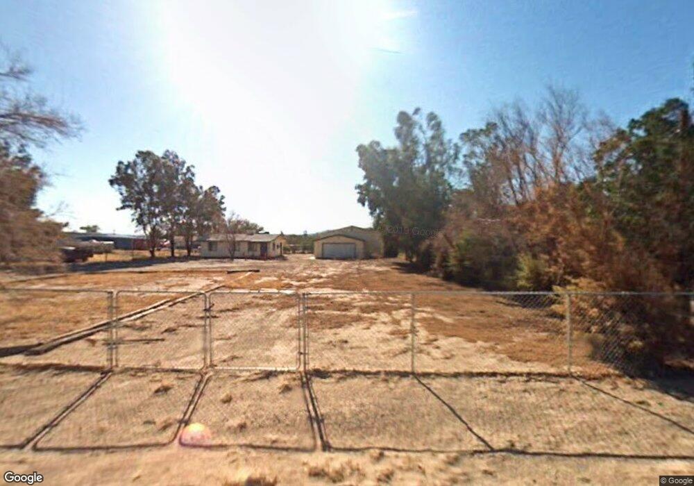
10205 Hopkins Dr Mohave Valley, AZ 86440
Estimated Value: $154,914 - $223,000
2
Beds
1
Bath
894
Sq Ft
$222/Sq Ft
Est. Value
About This Home
This home is located at 10205 Hopkins Dr, Mohave Valley, AZ 86440 and is currently estimated at $198,729, approximately $222 per square foot. 10205 Hopkins Dr is a home located in Mohave County with nearby schools including Fort Mohave Elementary School, Mohave Valley Junior High School, and Camp Mohave Elementary School.
Ownership History
Date
Name
Owned For
Owner Type
Purchase Details
Closed on
Jan 27, 2023
Sold by
Flores Ernesto and Flores Patricia
Bought by
Flores Family Trust
Current Estimated Value
Purchase Details
Closed on
Dec 6, 2006
Sold by
Rourke Michael Richard
Bought by
Flores Ernesto and Flores Patricia
Purchase Details
Closed on
Jun 12, 2001
Sold by
Crossland Mtg Corp
Bought by
Rourke Michael Richard
Home Financials for this Owner
Home Financials are based on the most recent Mortgage that was taken out on this home.
Original Mortgage
$38,000
Interest Rate
7.14%
Mortgage Type
New Conventional
Purchase Details
Closed on
Oct 16, 2000
Sold by
Barnett John G and Barnett Roberta J
Bought by
Crossland Mtg Corp
Create a Home Valuation Report for This Property
The Home Valuation Report is an in-depth analysis detailing your home's value as well as a comparison with similar homes in the area
Home Values in the Area
Average Home Value in this Area
Purchase History
| Date | Buyer | Sale Price | Title Company |
|---|---|---|---|
| Flores Family Trust | -- | -- | |
| Flores Ernesto | $120,000 | Transnation Title | |
| Rourke Michael Richard | $40,000 | First American Title Ins Co | |
| Crossland Mtg Corp | $44,900 | Transnation Title Ins Co |
Source: Public Records
Mortgage History
| Date | Status | Borrower | Loan Amount |
|---|---|---|---|
| Previous Owner | Rourke Michael Richard | $38,000 |
Source: Public Records
Tax History Compared to Growth
Tax History
| Year | Tax Paid | Tax Assessment Tax Assessment Total Assessment is a certain percentage of the fair market value that is determined by local assessors to be the total taxable value of land and additions on the property. | Land | Improvement |
|---|---|---|---|---|
| 2026 | -- | -- | -- | -- |
| 2025 | $804 | $13,156 | $0 | $0 |
| 2024 | $804 | $16,041 | $0 | $0 |
| 2023 | $804 | $14,102 | $0 | $0 |
| 2022 | $790 | $11,072 | $0 | $0 |
| 2021 | $815 | $8,038 | $0 | $0 |
| 2019 | $758 | $8,101 | $0 | $0 |
| 2018 | $738 | $8,445 | $0 | $0 |
| 2017 | $731 | $8,340 | $0 | $0 |
| 2016 | $643 | $6,414 | $0 | $0 |
| 2015 | $643 | $5,741 | $0 | $0 |
Source: Public Records
Map
Nearby Homes
- 10226 S Empire Rd
- 10079 S Gwen St
- 10079 S Driftwood Cir
- 1084 E Dike Rd
- 10025 S Driftwood Cir
- 224-27-076A Plantation Hwy 95
- 10102 S River Delta Rd
- 10018 Driftwood Cir
- 10191 S Meadow Ln
- 10210 Townsend Cir
- 10217 S Hamilton Dr
- 1432 Hamilton Way
- 10204 Townsend Cir
- 10181 Hamilton Dr
- 214 Race St
- 208 Race St
- 000 S Plantation Dr
- 0 Balboa Place
- 1312 Dike Rd Unit 64
- 0 Morgan Hwy 95
- 10205 S Hopkins Rd
- 10203 S Hopkins Rd
- 10203 Hopkins Dr
- 10218 S Saint George Rd
- 10218 S St George Rd
- 10218 S St George Rd
- 10209 Hopkins Dr
- 10222 S Saint George Rd
- 10222 S St George Rd
- 10222 S St George Rd
- 10217 Hopkins Dr
- 10190 S Honduras Rd
- 10188 S Honduras Rd
- 10200 S Hopkins Rd
- 10207 George St
- 68B Hopkins
- 10184 Honduras Rd
- 10217 S Hopkins Rd
- 10217 S Hopkins Dr
- 10217 Hopkins Rd