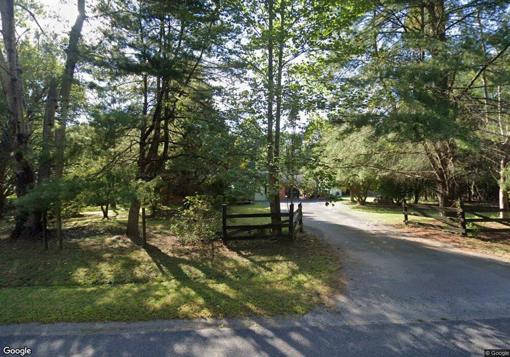
10208 Grasty Gold Mine Rd Rhoadesville, VA 22542
Estimated Value: $370,301 - $468,000
3
Beds
2
Baths
1,332
Sq Ft
$312/Sq Ft
Est. Value
About This Home
This home is located at 10208 Grasty Gold Mine Rd, Rhoadesville, VA 22542 and is currently estimated at $415,325, approximately $311 per square foot. 10208 Grasty Gold Mine Rd is a home located in Orange County with nearby schools including Unionville Elementary School, Lightfoot Elementary School, and Locust Grove Middle School.
Ownership History
Date
Name
Owned For
Owner Type
Purchase Details
Closed on
Jun 23, 2010
Sold by
Dwyer Richard H
Bought by
Kelley Harry L
Current Estimated Value
Home Financials for this Owner
Home Financials are based on the most recent Mortgage that was taken out on this home.
Original Mortgage
$160,834
Outstanding Balance
$107,430
Interest Rate
4.98%
Mortgage Type
FHA
Estimated Equity
$307,895
Purchase Details
Closed on
Dec 14, 2006
Sold by
Frey Vincent J and Frey Norma C
Bought by
Dwyer Richard H
Create a Home Valuation Report for This Property
The Home Valuation Report is an in-depth analysis detailing your home's value as well as a comparison with similar homes in the area
Home Values in the Area
Average Home Value in this Area
Purchase History
| Date | Buyer | Sale Price | Title Company |
|---|---|---|---|
| Kelley Harry L | $163,000 | Old Republic | |
| Dwyer Richard H | $415,000 | None Available |
Source: Public Records
Mortgage History
| Date | Status | Borrower | Loan Amount |
|---|---|---|---|
| Open | Kelley Harry L | $160,834 |
Source: Public Records
Tax History Compared to Growth
Tax History
| Year | Tax Paid | Tax Assessment Tax Assessment Total Assessment is a certain percentage of the fair market value that is determined by local assessors to be the total taxable value of land and additions on the property. | Land | Improvement |
|---|---|---|---|---|
| 2025 | $1,684 | $221,100 | $40,200 | $180,900 |
| 2024 | $1,684 | $221,100 | $40,200 | $180,900 |
| 2023 | $1,684 | $221,100 | $40,200 | $180,900 |
| 2022 | $1,684 | $221,100 | $40,200 | $180,900 |
| 2021 | $1,616 | $224,500 | $40,200 | $184,300 |
| 2020 | $1,616 | $224,500 | $40,200 | $184,300 |
| 2019 | $1,442 | $179,300 | $35,700 | $143,600 |
| 2018 | $1,442 | $179,300 | $35,700 | $143,600 |
| 2017 | $1,442 | $179,300 | $35,700 | $143,600 |
| 2016 | $1,442 | $179,300 | $35,700 | $143,600 |
| 2015 | $1,241 | $172,400 | $51,300 | $121,100 |
| 2014 | $1,241 | $172,400 | $51,300 | $121,100 |
Source: Public Records
Map
Nearby Homes
- 0 Tinder Ln
- 27472 Strawberry Hill Rd
- 11370 Woodland Dr
- 29629 Rows Mill Rd
- 31055 Lumber Rd
- 0 St Just Rd Unit VAOR2012836
- 10075 Tower Rd
- 29227 General Rhodes Ln
- 0 Old Plank Rd Unit VAOR2012528
- 12400 Orchard St
- 12210 Autumn Ridge Ln
- 12215 Autumn Ridge Ln
- 0 Orchard St
- 29727 New Hampshire Rd
- 29274 Old Office Rd
- 29288 Old Office Rd
- 25453 Constitution Hwy
- 25862 Independence Rd
- 28276 Walnut Ridge Way
- 28285 Walnut Ridge Way
- 29035 Cottontail Dr
- 10188 Grasty Gold Mine Rd
- 29063 Cottontail Dr
- 10231 Grasty Gold Mine Rd
- 10173 Grasty Gold Mine Rd
- 10126 Grasty Gold Mine Rd
- 29025 Cottontail Dr
- 10141 Grasty Gold Mine Rd
- 10267 Grasty Gold Mine Rd
- 29029 Mine Run Rd
- 10112 Grasty Gold Mine Rd
- 29105 Bopp Ln
- 10096 Grasty Goldmine Rd
- 10096 Grasty Gold Mine Rd
- 10318 St Just Rd
- 29117 Bopp Ln
- TBD Mine Run Rd
- 30233 Mine Run Rd
- 10323 Saint Just Rd
- 10323 St Just Rd