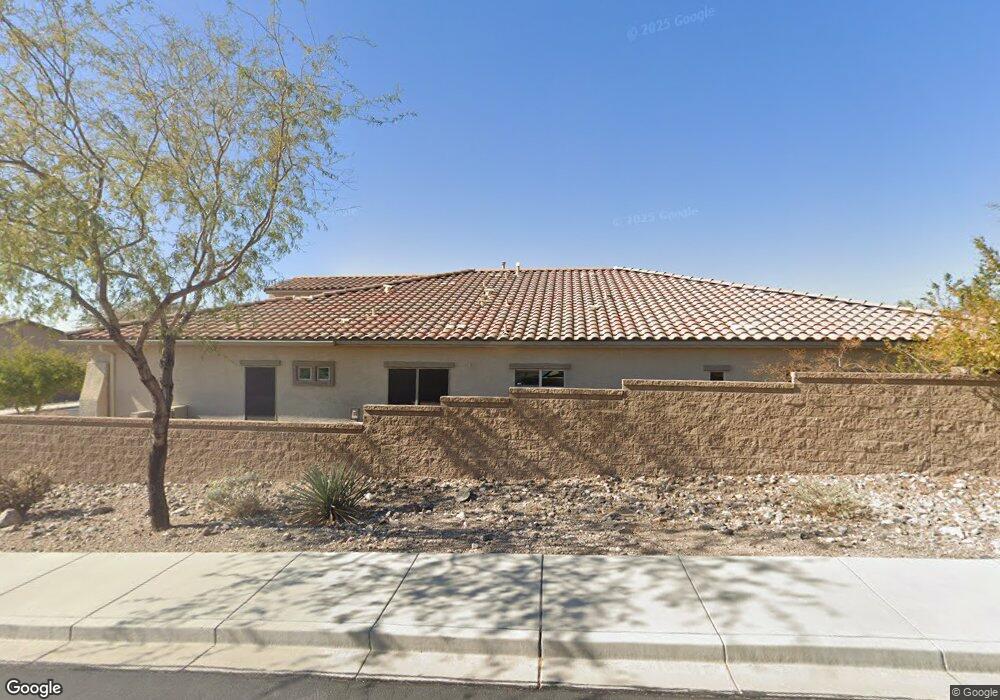
10208 W Redbird Rd Peoria, AZ 85383
Estimated Value: $692,194 - $762,000
--
Bed
--
Bath
2,356
Sq Ft
$308/Sq Ft
Est. Value
About This Home
This home is located at 10208 W Redbird Rd, Peoria, AZ 85383 and is currently estimated at $724,549, approximately $307 per square foot. 10208 W Redbird Rd is a home with nearby schools including Vistancia Elementary School, Liberty High School, and BASIS Peoria Primary.
Ownership History
Date
Name
Owned For
Owner Type
Purchase Details
Closed on
Mar 24, 2025
Sold by
Connolly Michael Joseph and Connolly Joann
Bought by
Connolly
Current Estimated Value
Purchase Details
Closed on
Nov 6, 2015
Sold by
Maracay Thunderbird Llc
Bought by
Connolly Michael J and Connolly Joann
Home Financials for this Owner
Home Financials are based on the most recent Mortgage that was taken out on this home.
Original Mortgage
$110,314
Interest Rate
3.96%
Mortgage Type
New Conventional
Purchase Details
Closed on
May 26, 2015
Sold by
Jen Arizona 9 Llc
Bought by
Maracay 91 Llc
Create a Home Valuation Report for This Property
The Home Valuation Report is an in-depth analysis detailing your home's value as well as a comparison with similar homes in the area
Home Values in the Area
Average Home Value in this Area
Purchase History
| Date | Buyer | Sale Price | Title Company |
|---|---|---|---|
| Connolly | -- | None Listed On Document | |
| Connolly Michael J | $382,814 | First American Title Ins Co | |
| Maracay 91 Llc | $650,988 | First American Title |
Source: Public Records
Mortgage History
| Date | Status | Borrower | Loan Amount |
|---|---|---|---|
| Previous Owner | Connolly Michael J | $110,314 |
Source: Public Records
Tax History Compared to Growth
Tax History
| Year | Tax Paid | Tax Assessment Tax Assessment Total Assessment is a certain percentage of the fair market value that is determined by local assessors to be the total taxable value of land and additions on the property. | Land | Improvement |
|---|---|---|---|---|
| 2025 | $2,735 | $30,783 | -- | -- |
| 2024 | $2,594 | $29,317 | -- | -- |
| 2023 | $2,594 | $54,800 | $10,960 | $43,840 |
| 2022 | $2,542 | $41,460 | $8,290 | $33,170 |
| 2021 | $2,716 | $39,230 | $7,840 | $31,390 |
| 2020 | $2,691 | $34,680 | $6,930 | $27,750 |
| 2019 | $2,641 | $31,500 | $6,300 | $25,200 |
| 2018 | $2,466 | $29,570 | $5,910 | $23,660 |
| 2017 | $2,489 | $27,780 | $5,550 | $22,230 |
| 2016 | $449 | $7,485 | $7,485 | $0 |
| 2015 | $487 | $5,312 | $5,312 | $0 |
Source: Public Records
Map
Nearby Homes
- 26887 N 101st Ln
- 10062 W Redbird Rd
- 26770 N 102nd Ave
- 26860 N 102nd Ln
- 29342 N 136th Dr
- 10303 W Rosewood Ln
- 10005 W Spur Dr
- 10338 W Rosewood Ln
- 27629 N 102nd Ln
- 9845 W Tether Trail
- 26330 N 98th Ln
- 10246 W Oberlin Way
- 10755 W Rowel Rd
- 26229 N 106th Dr
- 27821 N 98th Dr
- 9581 W Redbird Rd
- 9569 W Redbird Rd
- 9660 W Bent Tree Dr
- 25857 N 104th Dr
- 7966 W Rowel Rd
- 10216 W Redbird Rd
- 10230 W Redbird Rd
- 26942 N 102nd Ave
- 10240 W Redbird Rd
- 26850 N 102nd Ave
- 10225 W Redbird Rd
- 10148 W Redbird Rd
- 26968 N 101st Ln
- 26946 N 101st Ln
- 10233 W Redbird Rd
- 26984 N 101st Ln
- 26994 N 101st Ln
- 10248 W Redbird Rd
- 26922 N 101st Ln
- 10241 W Redbird Rd
- 26898 N 101st Ln
- 26832 N 102nd Ave
- 10138 W Redbird Rd
- 26872 N 101st Ln
- 10256 W Redbird Rd