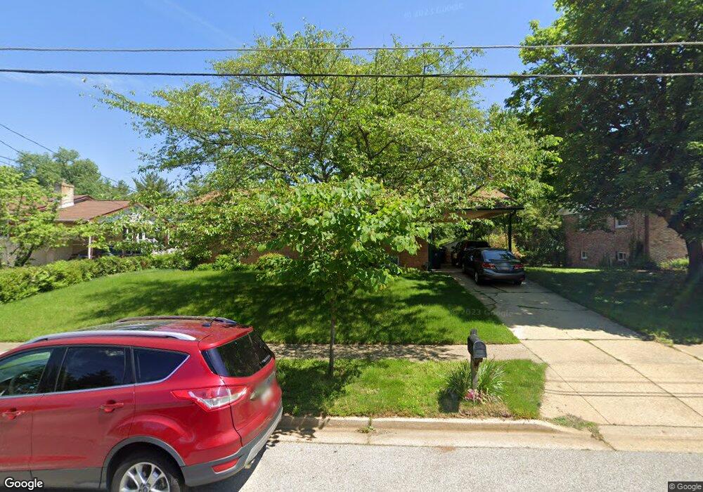
10208 White Ave Clinton, MD 20735
Estimated Value: $352,950 - $475,000
--
Bed
3
Baths
1,186
Sq Ft
$359/Sq Ft
Est. Value
About This Home
This home is located at 10208 White Ave, Clinton, MD 20735 and is currently estimated at $425,738, approximately $358 per square foot. 10208 White Ave is a home located in Prince George's County with nearby schools including Waldon Woods Elementary School, Stephen Decatur Middle School, and Surrattsville High School.
Ownership History
Date
Name
Owned For
Owner Type
Purchase Details
Closed on
Aug 30, 2006
Sold by
Ferguson James R
Bought by
Ferguson James R
Current Estimated Value
Purchase Details
Closed on
Aug 23, 2006
Sold by
Ferguson James R
Bought by
Ferguson James R
Purchase Details
Closed on
Oct 13, 1993
Sold by
Miller C W
Bought by
Ferguson James R
Home Financials for this Owner
Home Financials are based on the most recent Mortgage that was taken out on this home.
Original Mortgage
$141,600
Interest Rate
6.87%
Purchase Details
Closed on
Oct 7, 1975
Sold by
Richardson Willard
Bought by
Miller Charles W and Miller Eiko Y
Create a Home Valuation Report for This Property
The Home Valuation Report is an in-depth analysis detailing your home's value as well as a comparison with similar homes in the area
Home Values in the Area
Average Home Value in this Area
Purchase History
| Date | Buyer | Sale Price | Title Company |
|---|---|---|---|
| Ferguson James R | -- | -- | |
| Ferguson James R | -- | -- | |
| Ferguson James R | $139,900 | -- | |
| Miller Charles W | $52,000 | -- |
Source: Public Records
Mortgage History
| Date | Status | Borrower | Loan Amount |
|---|---|---|---|
| Previous Owner | Ferguson James R | $141,600 |
Source: Public Records
Tax History Compared to Growth
Tax History
| Year | Tax Paid | Tax Assessment Tax Assessment Total Assessment is a certain percentage of the fair market value that is determined by local assessors to be the total taxable value of land and additions on the property. | Land | Improvement |
|---|---|---|---|---|
| 2025 | $4,168 | $339,200 | $101,200 | $238,000 |
| 2024 | $4,168 | $315,433 | $0 | $0 |
| 2023 | $3,987 | $291,667 | $0 | $0 |
| 2022 | $3,768 | $267,900 | $101,200 | $166,700 |
| 2021 | $3,613 | $256,400 | $0 | $0 |
| 2020 | $3,538 | $244,900 | $0 | $0 |
| 2019 | $3,444 | $233,400 | $100,600 | $132,800 |
| 2018 | $3,362 | $228,067 | $0 | $0 |
| 2017 | $3,300 | $222,733 | $0 | $0 |
| 2016 | -- | $217,400 | $0 | $0 |
| 2015 | $2,873 | $212,767 | $0 | $0 |
| 2014 | $2,873 | $208,133 | $0 | $0 |
Source: Public Records
Map
Nearby Homes
- 5904 Spell Rd
- 10309 Brandywine Rd
- 10003 Armor Ct
- 6204 Armor Dr
- 6118 Hellen Lee Dr
- 10106 Goldfinch Ct
- 6208 Teaberry Way
- 6309 Elm Way
- F Gwynndale Dr
- 7001 Killarney St
- 7002 Killarney St
- 6706 Surratts Rd
- 6911 Simmons Ln
- 9410 Small Dr
- 9502 Brandywine Rd
- 9917 Raintree Way
- 11313 Marlee Ave
- 6205 Brooke Jane Dr
- 6710 Eilerson St
- 7012 Groveton Dr
- 10206 White Ave
- 10210 White Ave
- 10204 White Ave
- 10311 Thrift Rd
- 10209 White Ave
- 5904 White Ct
- 10211 White Ave
- 10202 White Ave
- 10205 White Ave
- 5903 White Ct
- 10317 Thrift Rd
- 10301 Thrift Rd
- 10200 White Ave
- 5900 White Ct
- 5901 White Ct
- 10203 White Ave
- 10312 Thrift Rd
- 10308 Thrift Rd
- 10401 Thrift Rd
- 10314 Thrift Rd