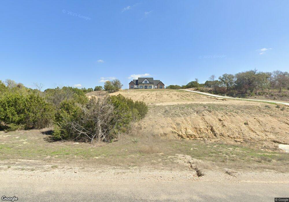
1021 Alicia Ct Weatherford, TX 76087
Estimated Value: $437,000 - $695,000
--
Bed
--
Bath
2,312
Sq Ft
$242/Sq Ft
Est. Value
About This Home
This home is located at 1021 Alicia Ct, Weatherford, TX 76087 and is currently estimated at $559,477, approximately $241 per square foot. 1021 Alicia Ct is a home with nearby schools including Brock Intermediate School, Brock Junior High School, and Brock High School.
Ownership History
Date
Name
Owned For
Owner Type
Purchase Details
Closed on
Jan 4, 2023
Sold by
Green Richard
Bought by
Cabrera Lindy and Mance John Andrew
Current Estimated Value
Home Financials for this Owner
Home Financials are based on the most recent Mortgage that was taken out on this home.
Original Mortgage
$358,453
Outstanding Balance
$347,326
Interest Rate
6.58%
Mortgage Type
New Conventional
Estimated Equity
$212,151
Purchase Details
Closed on
Jun 8, 2021
Sold by
Eagles Bluff Llc
Bought by
Green Richard and Green G
Home Financials for this Owner
Home Financials are based on the most recent Mortgage that was taken out on this home.
Original Mortgage
$366,750
Interest Rate
2.9%
Mortgage Type
Commercial
Create a Home Valuation Report for This Property
The Home Valuation Report is an in-depth analysis detailing your home's value as well as a comparison with similar homes in the area
Home Values in the Area
Average Home Value in this Area
Purchase History
| Date | Buyer | Sale Price | Title Company |
|---|---|---|---|
| Cabrera Lindy | -- | Providence Title Company | |
| Green Richard | -- | None Listed On Document |
Source: Public Records
Mortgage History
| Date | Status | Borrower | Loan Amount |
|---|---|---|---|
| Open | Cabrera Lindy | $358,453 | |
| Previous Owner | Green Richard | $366,750 |
Source: Public Records
Tax History Compared to Growth
Tax History
| Year | Tax Paid | Tax Assessment Tax Assessment Total Assessment is a certain percentage of the fair market value that is determined by local assessors to be the total taxable value of land and additions on the property. | Land | Improvement |
|---|---|---|---|---|
| 2025 | $2,349 | $167,937 | -- | -- |
| 2024 | $2,349 | $152,665 | $77,839 | $74,826 |
| 2023 | $2,349 | $672,750 | $233,750 | $439,000 |
| 2022 | $5,316 | $261,830 | $170,000 | $91,830 |
| 2021 | $3,629 | $170,000 | $170,000 | $0 |
| 2020 | $1,898 | $87,680 | $87,680 | $0 |
| 2019 | $557 | $23,910 | $23,910 | $0 |
Source: Public Records
Map
Nearby Homes
- 1036 & 1032 Alicia Ct
- 1012 Alicia Ct
- 1032 Alicia Ct
- 1036 Alicia Ct
- 5219 Old Dennis Rd
- 1023 Eagles Bluff Dr
- 1220 Eagles Bluff Dr
- 1145 Eagles Bluff Dr
- 1248 Eagles Bluff Dr
- 1077 Eagles Bluff Dr
- 1127 Eagles Bluff Dr
- 171 Ox Mill Creek Rd
- 2048 Eagles Ridge Dr
- 2001 Eagles Ridge Dr
- 2053 Eagles Ridge Dr
- 2128 Eagles Ridge Dr
- 1005 Kingsley Ct
- 1009 Kingsley Ct
- 1146 Eagles Bluff Dr
- 2005 Eagles Ridge Dr
- 1013 Alicia Ct
- 1035 Alicia Ct
- 1008 Eagles Bluff
- 1009 Alicia Ct
- 101620 Alicia Ct
- 1016/20 Alicia Ct
- 1016 Alicia Ct
- 1020 Alicia Ct
- 1004 Eagles Bluff Dr
- 1028 Alicia Ct
- 1020 Eagles Bluff Dr
- 1008 Alicia Ct
- 1032 & 1036 Alicia Ct
- 1024 Eagles Bluff Dr
- 1005 Alicia Ct
- 1004 Alicia Ct
- 1004 Alicia Ct
- 1092 Eagles Bluff Dr
- 1074 Eagles Bluff Dr
- 1016 Eagles Bluff Dr