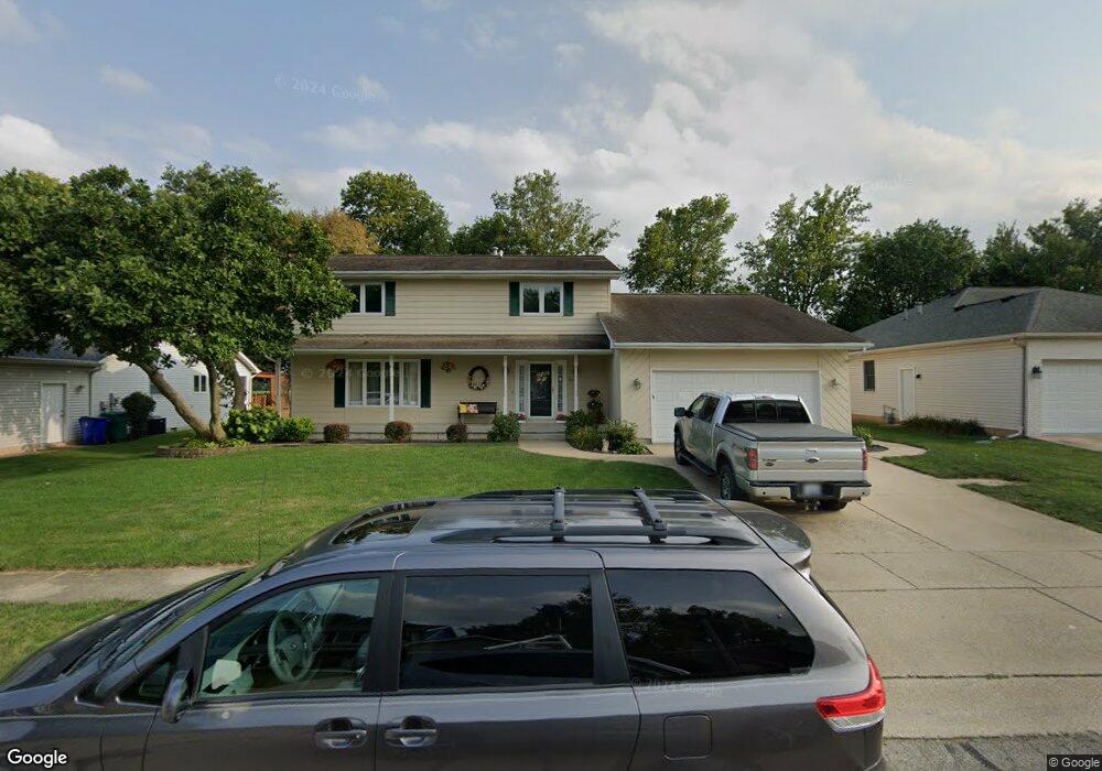
1021 Bunker Ln Decatur, IL 62526
Cresthaven NeighborhoodEstimated Value: $218,000 - $265,000
Studio
1
Bath
1,396
Sq Ft
$171/Sq Ft
Est. Value
About This Home
This home is located at 1021 Bunker Ln, Decatur, IL 62526 and is currently estimated at $238,991, approximately $171 per square foot. 1021 Bunker Ln is a home located in Macon County with nearby schools including Parsons Elementary School, Stephen Decatur Middle School, and Our Lady of Lourdes School.
Ownership History
Date
Name
Owned For
Owner Type
Purchase Details
Closed on
Jul 1, 1996
Current Estimated Value
Create a Home Valuation Report for This Property
The Home Valuation Report is an in-depth analysis detailing your home's value as well as a comparison with similar homes in the area
Home Values in the Area
Average Home Value in this Area
Purchase History
| Date | Buyer | Sale Price | Title Company |
|---|---|---|---|
| -- | $147,000 | -- |
Source: Public Records
Tax History
| Year | Tax Paid | Tax Assessment Tax Assessment Total Assessment is a certain percentage of the fair market value that is determined by local assessors to be the total taxable value of land and additions on the property. | Land | Improvement |
|---|---|---|---|---|
| 2024 | $6,312 | $69,930 | $8,857 | $61,073 |
| 2023 | $5,871 | $64,286 | $8,142 | $56,144 |
| 2022 | $5,540 | $59,623 | $7,552 | $52,071 |
| 2021 | $5,212 | $56,242 | $7,061 | $49,181 |
| 2020 | $5,235 | $55,079 | $6,915 | $48,164 |
| 2019 | $5,235 | $55,079 | $6,915 | $48,164 |
| 2018 | $5,211 | $55,472 | $6,964 | $48,508 |
| 2017 | $5,232 | $55,782 | $7,003 | $48,779 |
| 2016 | $5,284 | $55,916 | $7,020 | $48,896 |
| 2015 | $5,038 | $55,253 | $6,937 | $48,316 |
| 2014 | $4,721 | $55,253 | $6,937 | $48,316 |
| 2013 | $4,703 | $55,253 | $6,937 | $48,316 |
Source: Public Records
Map
Nearby Homes
- 4643 Nicklaus Ct
- 4316 N Leonore Dr
- 4505 Shadow Dr
- 4086 Arthur Ct
- 880 W Frank Dr
- 3994 N Northbrook Dr
- 4616 Lawson Dr
- 4636 Lawson Dr
- 630 Montgomery Ln
- 0 Route 51 Unit 6241333
- 13 Lantern Ln
- 920 W Karen Dr
- 5322 Navajo Dr
- 113 Benton Dr
- 89 Benton Dr
- 110 W Manchester Dr
- 3448 N Taylor Ave
- 1450 Riedel Ave
- 53 N Lynette Dr
- 45 Ohio Dr
- 1020 Bunker Ln
- 1010 Bunker Ln
- 991 Bunker Ln
- 1031 Bunker Ln
- 990 Bunker Ln
- 1030 Bunker Ln
- 1041 Bunker Ln
- 1040 Bunker Ln
- 961 Bunker Ln
- 960 Bunker Ln
- 1050 Bunker Ln
- 4545 Cresthaven Ln
- 951 Bunker Ln
- 1051 Bunker Ln
- 930 Bunker Ln
- 4565 Cresthaven Ln
- 931 Bunker Ln
- 4514 Nicklaus Ct
- 4525 Cresthaven Ln
- 4539 Palmer Ct