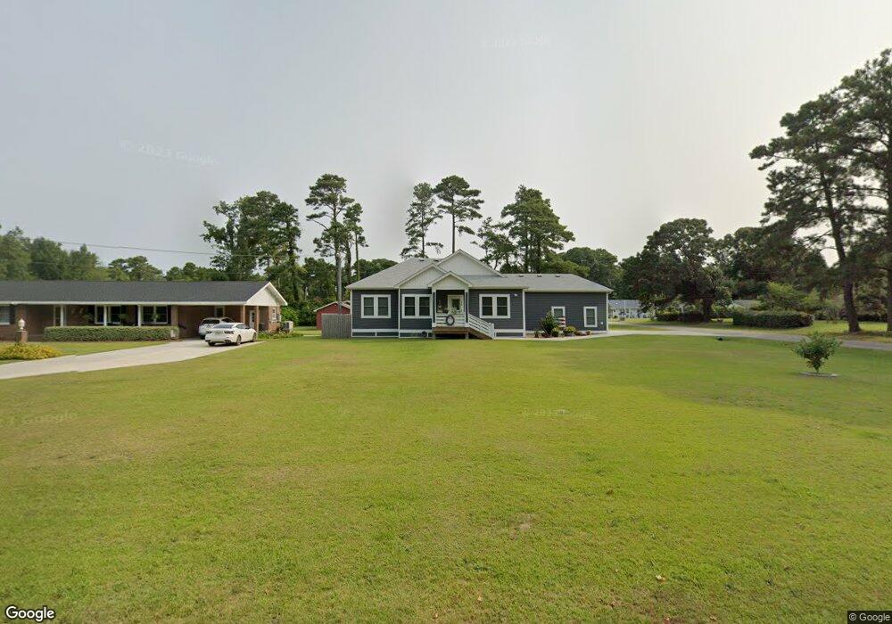
1021 Burnside Rd Manteo, NC 27954
Estimated Value: $459,721 - $579,000
3
Beds
2
Baths
1,296
Sq Ft
$403/Sq Ft
Est. Value
About This Home
This home is located at 1021 Burnside Rd, Manteo, NC 27954 and is currently estimated at $521,930, approximately $402 per square foot. 1021 Burnside Rd is a home with nearby schools including Manteo Elementary School, Manteo Middle School, and Manteo High School.
Ownership History
Date
Name
Owned For
Owner Type
Purchase Details
Closed on
Jul 15, 2019
Sold by
J D Johnson Reality & Const
Bought by
Elms Donna W
Current Estimated Value
Home Financials for this Owner
Home Financials are based on the most recent Mortgage that was taken out on this home.
Original Mortgage
$325,000
Outstanding Balance
$284,729
Interest Rate
3.82%
Mortgage Type
New Conventional
Estimated Equity
$237,201
Purchase Details
Closed on
May 20, 2019
Sold by
Amrose Stacey E and Ambrose Kimberley J
Bought by
J D Johnson Reality Const
Home Financials for this Owner
Home Financials are based on the most recent Mortgage that was taken out on this home.
Original Mortgage
$325,000
Outstanding Balance
$284,729
Interest Rate
3.82%
Mortgage Type
New Conventional
Estimated Equity
$237,201
Create a Home Valuation Report for This Property
The Home Valuation Report is an in-depth analysis detailing your home's value as well as a comparison with similar homes in the area
Home Values in the Area
Average Home Value in this Area
Purchase History
| Date | Buyer | Sale Price | Title Company |
|---|---|---|---|
| Elms Donna W | -- | -- | |
| J D Johnson Reality Const | $73,500 | -- |
Source: Public Records
Mortgage History
| Date | Status | Borrower | Loan Amount |
|---|---|---|---|
| Open | Elms Donna W | $325,000 |
Source: Public Records
Tax History Compared to Growth
Tax History
| Year | Tax Paid | Tax Assessment Tax Assessment Total Assessment is a certain percentage of the fair market value that is determined by local assessors to be the total taxable value of land and additions on the property. | Land | Improvement |
|---|---|---|---|---|
| 2024 | $1,593 | $288,200 | $68,700 | $219,500 |
| 2023 | $1,577 | $288,200 | $68,700 | $219,500 |
| 2022 | $1,548 | $288,200 | $68,700 | $219,500 |
| 2021 | $1,519 | $288,200 | $68,700 | $219,500 |
| 2020 | $1,169 | $222,400 | $68,700 | $153,700 |
| 2019 | $311 | $50,500 | $50,500 | $0 |
| 2018 | $0 | $50,500 | $50,500 | $0 |
| 2017 | $311 | $50,500 | $50,500 | $0 |
| 2016 | $291 | $50,500 | $50,500 | $0 |
| 2014 | $291 | $50,500 | $50,500 | $0 |
Source: Public Records
Map
Nearby Homes
- 1006 Burnside Rd
- 137 Sherwood Dr Unit Lot 58
- 137 Sherwood Dr
- 1095 Burnside Rd Unit Lot B3
- 938 Burnside Rd Unit Lot NA
- 942 Burnside Rd Unit Lot NA
- 0 Shady Pines Ln Unit Lot 13 128538
- 0 Shady Pines Ln Unit Lot 27 128148
- 1434 /202D Dartmoor Ave Unit 202D
- 116 Cutter Ct Unit Lot 6
- 501 Dora Dr Unit Lot 26
- 1285 Burnside Rd Unit Lot 1
- 1285 Burnside Rd Unit Lot 2
- 1285 Burnside Rd Unit Lot 3
- 517 Unit 2 Ananias Dare St Unit 2
- 517 Unit 1 Ananias Dare St Unit 1
- 517 Ananias Dare St Unit 4
- 517 Ananias Dare St Unit 3
- 104 Coleman Rd
- 707 Harriot St Unit lot 7
- 1025 Burnside Rd
- 111 Rimpaul Rd
- 110 Rimpaul Rd
- 122 Timberlin Way
- 116 Timberlin Way
- 101 The Oaks
- 1014 Burnside Rd
- 114 Timberlin Way
- 124 Timberlin Way
- 1033 Burnside Rd
- 105 The Oaks
- 1028 Burnside Rd
- 126 Timberlin Way Unit 7
- 126 Timberlin Way
- 109 The Oaks Unit 3
- 109 The Oaks
- 1036 Burnside Rd
- 107 Tanali Dr
- 113 Timberlin Way
- 106 Payne Rd