1021 Chieftain Way White Plains, GA 30678
Estimated Value: $1,399,554 - $1,706,000
--
Bed
--
Bath
3,146
Sq Ft
$503/Sq Ft
Est. Value
About This Home
This home is located at 1021 Chieftain Way, White Plains, GA 30678 and is currently estimated at $1,582,639, approximately $503 per square foot. 1021 Chieftain Way is a home with nearby schools including Greene County High School.
Ownership History
Date
Name
Owned For
Owner Type
Purchase Details
Closed on
Jun 5, 2003
Sold by
Brown David E and Brown Hope J
Bought by
Johnson Janet
Current Estimated Value
Purchase Details
Closed on
Mar 17, 1998
Sold by
Brown Robert W and Brown Andrea K
Bought by
Brown David E and Brown Hope J
Purchase Details
Closed on
Dec 23, 1996
Sold by
Graham Carl S
Bought by
Brown Robert W and Brown Andrea K
Purchase Details
Closed on
Jan 1, 1986
Sold by
Lassiter Properties Inc
Bought by
Graham Carl S
Purchase Details
Closed on
Sep 6, 1983
Bought by
Lassiter Properties Inc
Create a Home Valuation Report for This Property
The Home Valuation Report is an in-depth analysis detailing your home's value as well as a comparison with similar homes in the area
Home Values in the Area
Average Home Value in this Area
Purchase History
| Date | Buyer | Sale Price | Title Company |
|---|---|---|---|
| Johnson Janet | $187,000 | -- | |
| Brown David E | $60,000 | -- | |
| Brown Robert W | $45,000 | -- | |
| Graham Carl S | -- | -- | |
| Lassiter Properties Inc | $300,000 | -- |
Source: Public Records
Tax History Compared to Growth
Tax History
| Year | Tax Paid | Tax Assessment Tax Assessment Total Assessment is a certain percentage of the fair market value that is determined by local assessors to be the total taxable value of land and additions on the property. | Land | Improvement |
|---|---|---|---|---|
| 2024 | $7,717 | $483,880 | $255,800 | $228,080 |
| 2023 | $7,540 | $473,040 | $255,800 | $217,240 |
| 2022 | $5,853 | $324,240 | $128,200 | $196,040 |
| 2021 | $5,566 | $288,560 | $113,480 | $175,080 |
| 2020 | $5,262 | $246,200 | $97,200 | $149,000 |
| 2019 | $5,410 | $246,200 | $97,200 | $149,000 |
| 2018 | $5,398 | $246,200 | $97,200 | $149,000 |
| 2017 | $5,010 | $244,095 | $97,200 | $146,895 |
| 2016 | $5,041 | $245,584 | $97,200 | $148,384 |
| 2015 | $5,030 | $245,583 | $97,200 | $148,384 |
| 2014 | $4,683 | $223,574 | $97,200 | $126,374 |
Source: Public Records
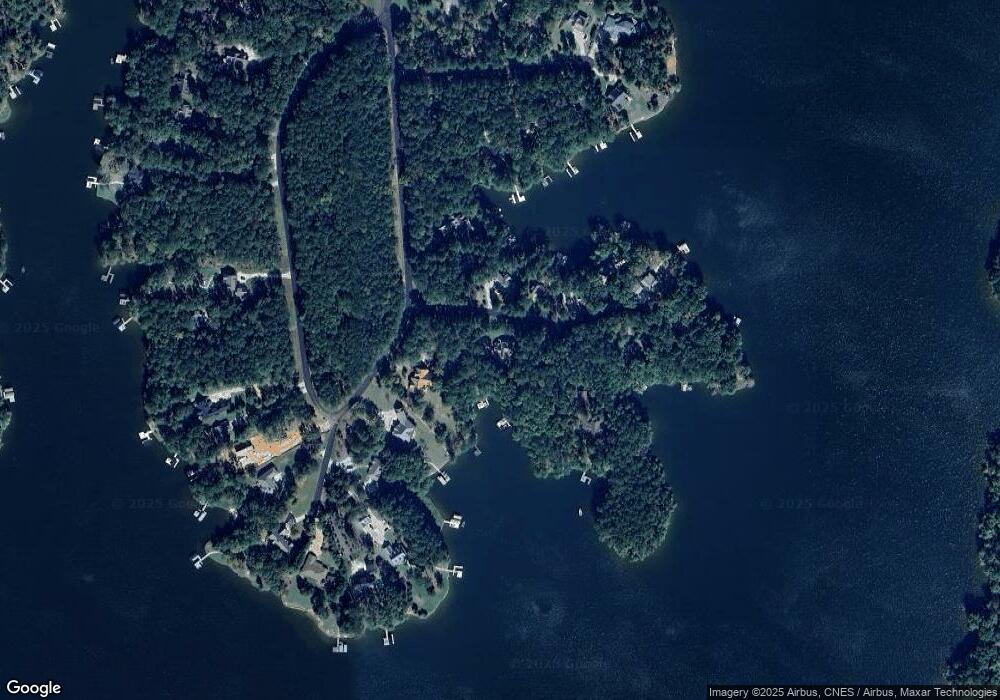
Map
Nearby Homes
- 1250 Cherokee Trail
- 1321 Clearwater Ln
- Lot 45 Oconee Landing Dr
- lot 44 Oconee Landing Dr
- Lot 43 1030 Bay View Ct
- 1691 White Oak Dr
- 1061 Clearwater Dr
- 1511 White Oak Dr
- 1041 Emerald Shores Dr
- 1010 Emerald Shores Dr
- 264 Winding River Rd
- 2001 Flat Rock Church Rd
- 262 N Rock Island Dr
- 1953 Flat Rock Church Rd
- 1889 Flat Rock Church Rd
- 1809 Flat Rock Church Rd
- 1011 Chieftain Way
- 1020 Chieftain Way
- 1280 Cherokee Trail
- 1280 Cherokee Trail Unit 45A
- 1041 Chieftain Way
- 1290 Cherokee Dr
- 1290 Cherokee Trail
- 1290 Cherokee Trail Unit 46A
- 1050 Chieftain Way
- 1061 Chieftain Way
- 1060 Chieftain Way
- 1060 Chieftian Way
- 1000 Quail Hollow
- 1240 Cherokee Trail
- 1021 Tomahawk Ct
- 1071 Chieftain Way
- 0 Quail Hollow
- 1011 Tomahawk Ct Unit 30
- 1011 Tomahawk Ct
- 1020 Quail Hollow