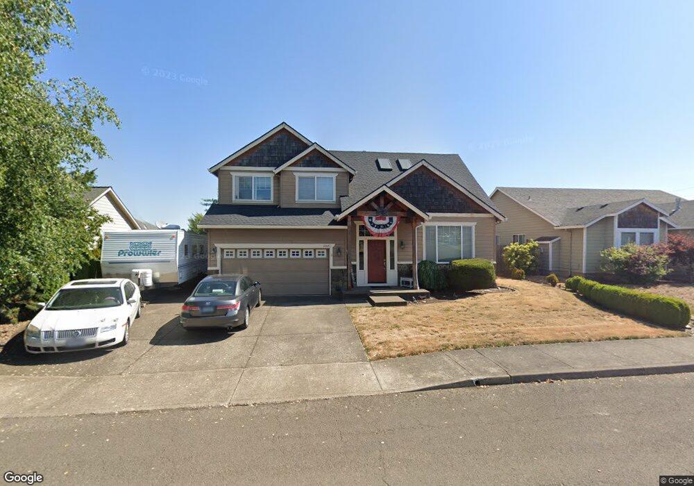
1021 Coho St Molalla, OR 97038
Estimated Value: $560,357 - $632,000
4
Beds
3
Baths
2,404
Sq Ft
$245/Sq Ft
Est. Value
About This Home
This home is located at 1021 Coho St, Molalla, OR 97038 and is currently estimated at $589,839, approximately $245 per square foot. 1021 Coho St is a home located in Clackamas County.
Ownership History
Date
Name
Owned For
Owner Type
Purchase Details
Closed on
Aug 5, 2009
Sold by
Kluever Gregory Jerome
Bought by
Phillips Christopher G and Phillips Heather L
Current Estimated Value
Home Financials for this Owner
Home Financials are based on the most recent Mortgage that was taken out on this home.
Original Mortgage
$290,816
Outstanding Balance
$190,383
Interest Rate
5.37%
Mortgage Type
Purchase Money Mortgage
Estimated Equity
$399,456
Purchase Details
Closed on
Jun 21, 2005
Sold by
Spanfellner Randy
Bought by
Kluever Gregory Jerome
Home Financials for this Owner
Home Financials are based on the most recent Mortgage that was taken out on this home.
Original Mortgage
$211,200
Interest Rate
5.72%
Mortgage Type
Fannie Mae Freddie Mac
Purchase Details
Closed on
Jan 23, 2004
Sold by
Ferrell Developments Llc
Bought by
Spanfellner Randy
Create a Home Valuation Report for This Property
The Home Valuation Report is an in-depth analysis detailing your home's value as well as a comparison with similar homes in the area
Home Values in the Area
Average Home Value in this Area
Purchase History
| Date | Buyer | Sale Price | Title Company |
|---|---|---|---|
| Phillips Christopher G | $285,000 | Fidelity Natl Title Co Of Or | |
| Kluever Gregory Jerome | $264,000 | First American | |
| Spanfellner Randy | $55,000 | Chicago Title Co |
Source: Public Records
Mortgage History
| Date | Status | Borrower | Loan Amount |
|---|---|---|---|
| Open | Phillips Christopher G | $290,816 | |
| Previous Owner | Kluever Gregory Jerome | $211,200 |
Source: Public Records
Tax History Compared to Growth
Tax History
| Year | Tax Paid | Tax Assessment Tax Assessment Total Assessment is a certain percentage of the fair market value that is determined by local assessors to be the total taxable value of land and additions on the property. | Land | Improvement |
|---|---|---|---|---|
| 2025 | $5,480 | $286,056 | -- | -- |
| 2024 | $5,297 | $277,725 | -- | -- |
| 2023 | $5,297 | $269,636 | $0 | $0 |
| 2022 | $4,367 | $261,783 | $0 | $0 |
| 2021 | $4,188 | $254,159 | $0 | $0 |
| 2020 | $4,071 | $246,757 | $0 | $0 |
| 2019 | $3,953 | $239,570 | $0 | $0 |
| 2018 | $3,842 | $232,592 | $0 | $0 |
| 2017 | $3,684 | $225,817 | $0 | $0 |
| 2016 | $3,493 | $219,240 | $0 | $0 |
| 2015 | $3,394 | $212,854 | $0 | $0 |
| 2014 | $3,288 | $206,654 | $0 | $0 |
Source: Public Records
Map
Nearby Homes
- 704 Patrol St
- 15160 S Highway 211
- 122 N Cole Ave
- 207 Finneys Ave
- 820 E 3rd St
- 218 Finneys Ave
- 619 E Heintz St
- 162 Fenton Ave Unit C
- 821 E 7th St
- 123 Shirley St
- 225 N Molalla Ave
- 118 Engle Ave
- 121 W Ross St
- 206 S Molalla Ave
- 416 Kennel Ave
- 3 Revilot Ct
- 208 W Heintz St Unit 2
- 205 W Heintz St Unit 708
- 227 Hauser Ct
- 15706 S Highway 211