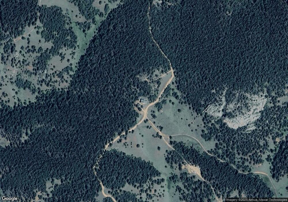
1021 Crown Point Cir Cripple Creek, CO 80813
Estimated Value: $710,362 - $811,000
4
Beds
1
Bath
2,968
Sq Ft
$252/Sq Ft
Est. Value
About This Home
This home is located at 1021 Crown Point Cir, Cripple Creek, CO 80813 and is currently estimated at $746,591, approximately $251 per square foot. 1021 Crown Point Cir is a home located in Teller County with nearby schools including Cresson Elementary School and Cripple Creek-Victor Junior/Senior High School.
Ownership History
Date
Name
Owned For
Owner Type
Purchase Details
Closed on
Oct 15, 2021
Sold by
Thiel Ronald D and Thiel Ann R
Bought by
Hartzer William and Hartzer Debbie
Current Estimated Value
Home Financials for this Owner
Home Financials are based on the most recent Mortgage that was taken out on this home.
Original Mortgage
$548,250
Outstanding Balance
$499,953
Interest Rate
2.8%
Mortgage Type
New Conventional
Estimated Equity
$246,638
Purchase Details
Closed on
Feb 16, 2001
Sold by
Long Wilber and Long Michelle
Bought by
Thiel Ronald D and Thiel Ann R
Create a Home Valuation Report for This Property
The Home Valuation Report is an in-depth analysis detailing your home's value as well as a comparison with similar homes in the area
Home Values in the Area
Average Home Value in this Area
Purchase History
| Date | Buyer | Sale Price | Title Company |
|---|---|---|---|
| Hartzer William | $650,000 | Empire Title Co Springs Llc | |
| Thiel Ronald D | $42,500 | -- |
Source: Public Records
Mortgage History
| Date | Status | Borrower | Loan Amount |
|---|---|---|---|
| Open | Hartzer William | $548,250 |
Source: Public Records
Tax History Compared to Growth
Tax History
| Year | Tax Paid | Tax Assessment Tax Assessment Total Assessment is a certain percentage of the fair market value that is determined by local assessors to be the total taxable value of land and additions on the property. | Land | Improvement |
|---|---|---|---|---|
| 2024 | $1,238 | $40,170 | $5,892 | $34,278 |
| 2023 | $1,238 | $40,170 | $5,890 | $34,280 |
| 2022 | $1,013 | $30,940 | $4,530 | $26,410 |
| 2021 | $816 | $24,680 | $3,610 | $21,070 |
| 2020 | $745 | $22,870 | $3,560 | $19,310 |
| 2019 | $740 | $22,870 | $0 | $0 |
| 2018 | $571 | $16,100 | $0 | $0 |
| 2017 | $583 | $16,100 | $0 | $0 |
| 2016 | $543 | $14,610 | $0 | $0 |
| 2015 | $839 | $22,570 | $0 | $0 |
| 2014 | $797 | $21,910 | $0 | $0 |
Source: Public Records
Map
Nearby Homes
- 0 Brown Bear Dr
- 70 Brown Bear Ln
- 110 Brown Bear Ln
- 864 Wellington Dr
- 1196 Wellington Dr
- 0 County Road 61 Unit REC8609443
- 0 County Road 61 Unit 9321658
- 0 Tbd Four Mile Rd
- 2455 Yorktown Rd
- 124 Yorktown Dr
- 1944 May Queen Dr
- 2642 Yorktown Rd
- 2724 Yorktown Rd
- 2652 Yorktown Rd
- 2747 County Road 61
- 977 Cr-61
- 2954 County Road 61
- 507 Yorktown Rd
- 1011 Castle Ridge View
- 158 Rattler Ct
- 924 Crown Point Cir
- 1052 Crown Point Cir
- 3151 County Road 61
- 988 Crown Point Dr
- 1058 Crown Point Cir
- 3165 County Road 61
- 3171 County Road 61
- 0 Gold Camp Rd Unit 1007469
- 0 Unknown Dr Unit 2953411
- 0 Unknown Dr Unit 9444700
- 0 Unknown Dr Unit 5203166
- 00000 County 89 Rd
- 0 Unknown Dr Unit 7083186
- 0 Tbd Cripple Creek Rd Unit 8049282
- 162 Crown Point Dr
- 136 Brown Bear Dr
- 325 Brown Bear Dr
- 460 Brown Bear Dr
- 433 Brown Bear Dr
- 135 Crown Point Dr
