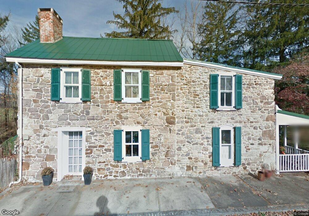
1021 Daisy Point Rd Pottstown, PA 19465
Estimated Value: $337,000 - $539,000
3
Beds
1
Bath
1,515
Sq Ft
$291/Sq Ft
Est. Value
About This Home
This home is located at 1021 Daisy Point Rd, Pottstown, PA 19465 and is currently estimated at $440,316, approximately $290 per square foot. 1021 Daisy Point Rd is a home located in Chester County with nearby schools including French Creek Elementary School, Owen J Roberts Middle School, and Owen J Roberts High School.
Ownership History
Date
Name
Owned For
Owner Type
Purchase Details
Closed on
Sep 18, 2006
Sold by
Aiken Christine D
Bought by
Poehlmann Gretchen E
Current Estimated Value
Home Financials for this Owner
Home Financials are based on the most recent Mortgage that was taken out on this home.
Original Mortgage
$111,000
Outstanding Balance
$66,186
Interest Rate
6.54%
Mortgage Type
Purchase Money Mortgage
Estimated Equity
$374,130
Create a Home Valuation Report for This Property
The Home Valuation Report is an in-depth analysis detailing your home's value as well as a comparison with similar homes in the area
Home Values in the Area
Average Home Value in this Area
Purchase History
| Date | Buyer | Sale Price | Title Company |
|---|---|---|---|
| Poehlmann Gretchen E | $243,500 | Penn Title Inc |
Source: Public Records
Mortgage History
| Date | Status | Borrower | Loan Amount |
|---|---|---|---|
| Open | Poehlmann Gretchen E | $111,000 |
Source: Public Records
Tax History Compared to Growth
Tax History
| Year | Tax Paid | Tax Assessment Tax Assessment Total Assessment is a certain percentage of the fair market value that is determined by local assessors to be the total taxable value of land and additions on the property. | Land | Improvement |
|---|---|---|---|---|
| 2025 | $3,564 | $93,650 | $28,230 | $65,420 |
| 2024 | $3,564 | $90,050 | $28,230 | $61,820 |
| 2023 | $3,510 | $90,050 | $28,230 | $61,820 |
| 2022 | $3,451 | $90,050 | $28,230 | $61,820 |
| 2021 | $3,407 | $90,050 | $28,230 | $61,820 |
| 2020 | $3,316 | $90,050 | $28,230 | $61,820 |
| 2019 | $3,251 | $90,050 | $28,230 | $61,820 |
| 2018 | $3,185 | $90,050 | $28,230 | $61,820 |
| 2017 | $3,107 | $90,050 | $28,230 | $61,820 |
| 2016 | $2,659 | $90,050 | $28,230 | $61,820 |
| 2015 | $2,659 | $90,050 | $28,230 | $61,820 |
| 2014 | $2,659 | $90,050 | $28,230 | $61,820 |
Source: Public Records
Map
Nearby Homes
- 108 Hartman Rd
- 176 Bucktown Crossing Unit 42C
- 3381 Coventryville Rd
- 3251 Coventryville Rd
- 3221 Coventryville Rd
- 1623 Hilltop Rd
- 3896 Coventryville Rd
- 1630 Sheeder Mill Rd
- 1547 Pottstown Pike
- 1672 Hollow Rd
- 1255 Hollow Rd
- 150 Horseshoe Ln
- 121 Warwick Chase
- 1420 Hollow Rd
- 1381 School House Ln
- 746 W Hoffecker Rd
- 1940 Ridge Rd
- 1378 S Hanover St
- 287 Kulp Rd
- 1284 School House Ln
- 1011 Daisy Point Rd
- 1020 Daisy Point Rd
- 1001 Daisy Point Rd
- 1000 Daisy Point Rd
- 1010 Daisy Point Rd
- 150 Hultz Ln
- 819 Pughtown Rd
- 820 Pottstown Park
- 820 Pughtown Rd
- 820 Pughtown Rd
- 816 Pughtown Rd
- 816 Pughtown Rd
- 2317 Pottstown Pike
- 815 Pughtown Rd
- 1040 Daisy Point Rd
- 806 Pughtown Rd
- 2420 Pottstown Pike
- 803 Pughtown Rd
- 803 Pughtown Rd Unit 2301331-59417
- 798 Pughtown Rd