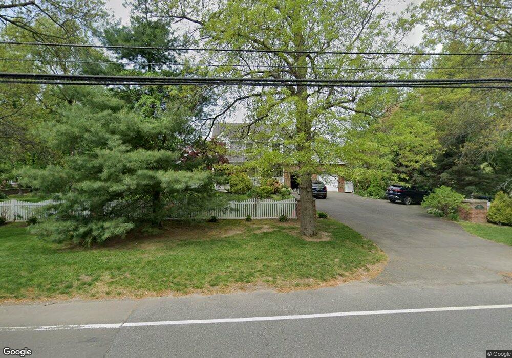
1021 Daniels Farm Rd Trumbull, CT 06611
Daniel Farm District NeighborhoodEstimated Value: $967,000 - $1,040,000
5
Beds
4
Baths
3,408
Sq Ft
$297/Sq Ft
Est. Value
About This Home
This home is located at 1021 Daniels Farm Rd, Trumbull, CT 06611 and is currently estimated at $1,010,844, approximately $296 per square foot. 1021 Daniels Farm Rd is a home located in Fairfield County with nearby schools including Daniels Farm School, Hillcrest Middle School, and Trumbull High School.
Ownership History
Date
Name
Owned For
Owner Type
Purchase Details
Closed on
Jul 14, 2023
Sold by
Stelman Ilya and Stelman Milla
Bought by
Ilya Stelman T and Ilya Stelman
Current Estimated Value
Purchase Details
Closed on
Apr 16, 2001
Sold by
Defelelice Thoms and Defelelice Lisa
Bought by
Stelman Ilya and Stelman Milla
Purchase Details
Closed on
Jan 21, 1998
Sold by
Calandro Ethel
Bought by
Defelice Thomas and Defelice Lisa
Create a Home Valuation Report for This Property
The Home Valuation Report is an in-depth analysis detailing your home's value as well as a comparison with similar homes in the area
Home Values in the Area
Average Home Value in this Area
Purchase History
| Date | Buyer | Sale Price | Title Company |
|---|---|---|---|
| Ilya Stelman T | -- | None Available | |
| Stelman Ilya | $435,000 | -- | |
| Defelice Thomas | $115,000 | -- |
Source: Public Records
Mortgage History
| Date | Status | Borrower | Loan Amount |
|---|---|---|---|
| Previous Owner | Defelice Thomas | $417,000 | |
| Previous Owner | Defelice Thomas | $100,000 | |
| Previous Owner | Defelice Thomas | $150,000 |
Source: Public Records
Tax History Compared to Growth
Tax History
| Year | Tax Paid | Tax Assessment Tax Assessment Total Assessment is a certain percentage of the fair market value that is determined by local assessors to be the total taxable value of land and additions on the property. | Land | Improvement |
|---|---|---|---|---|
| 2025 | $16,579 | $449,050 | $143,290 | $305,760 |
| 2024 | $16,125 | $449,050 | $143,290 | $305,760 |
| 2023 | $15,865 | $449,050 | $143,290 | $305,760 |
| 2022 | $15,611 | $449,050 | $143,290 | $305,760 |
| 2021 | $14,553 | $398,230 | $130,340 | $267,890 |
| 2020 | $14,277 | $398,230 | $130,340 | $267,890 |
| 2018 | $13,924 | $398,230 | $130,340 | $267,890 |
| 2017 | $13,643 | $398,230 | $130,340 | $267,890 |
| 2016 | $13,369 | $398,230 | $130,340 | $267,890 |
| 2015 | $13,629 | $401,300 | $130,400 | $270,900 |
| 2014 | $13,336 | $401,300 | $130,400 | $270,900 |
Source: Public Records
Map
Nearby Homes
- 119 Lewis Rd
- 121 Lewis Rd
- 93 Putting Green Rd N
- 1209 Daniels Farm Rd
- 75 Roosevelt Dr
- 184 Hurd Rd
- 118 Greenbrier Rd
- 184 Putting Green Rd
- 36 Moose Hill Rd
- 3 Pam Bar Dr
- 43 Moose Hill Rd
- 6 Brookview Dr
- 57 Gray Rock Rd
- 101 Royals Ct
- 18 Skating Pond Rd
- 31 Parlor Rock Rd
- 14 Oakland Dr
- 230 Fitch Pass
- 0 Main St
- 50 Hemlock Trail
- 1003 Daniels Farm Rd
- 14 Lewis Rd
- 1035 Daniels Farm Rd
- 5 Wildfire Ln
- 22 Lewis Rd
- 1057 Daniels Farm Rd
- 11 Lewis Rd
- 1040 Daniels Farm Rd
- 6 Wildfire Ln
- 3 Lewis Rd
- 3 Oxen Hill Rd
- 979 Daniels Farm Rd
- 1054 Daniels Farm Rd
- 30 Lewis Rd
- 987 Daniels Farm Rd
- 1059 Daniels Farm Rd
- 9 Wildfire Ln
- 38 Lewis Rd
- 971 Daniels Farm Rd
- 23 Highwood Place