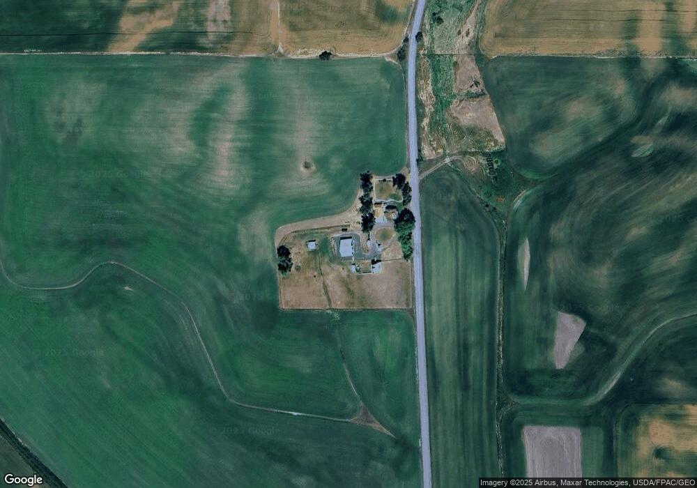
1021 Danielson Rd Genesee, ID 83832
Estimated Value: $494,000 - $682,600
Studio
--
Bath
--
Sq Ft
217,800
Sq Ft
About This Home
This home is located at 1021 Danielson Rd, Genesee, ID 83832 and is currently estimated at $617,400. 1021 Danielson Rd is a home located in Latah County with nearby schools including Genesee School.
Ownership History
Date
Name
Owned For
Owner Type
Purchase Details
Closed on
Jun 7, 2013
Sold by
Stout Tim D and Somers Jill
Bought by
Bull Jameson Blake and Bull Sarah Ann
Current Estimated Value
Purchase Details
Closed on
Jun 14, 2012
Sold by
Stout Tim D
Bought by
Stout Tim D and Somers Jill I
Home Financials for this Owner
Home Financials are based on the most recent Mortgage that was taken out on this home.
Original Mortgage
$320,000
Interest Rate
3.25%
Mortgage Type
Adjustable Rate Mortgage/ARM
Purchase Details
Closed on
Jan 14, 2005
Sold by
Guske Jeff and Delles Susan
Bought by
Stout Tim D
Home Financials for this Owner
Home Financials are based on the most recent Mortgage that was taken out on this home.
Original Mortgage
$79,200
Interest Rate
5.67%
Mortgage Type
Purchase Money Mortgage
Create a Home Valuation Report for This Property
The Home Valuation Report is an in-depth analysis detailing your home's value as well as a comparison with similar homes in the area
Purchase History
| Date | Buyer | Sale Price | Title Company |
|---|---|---|---|
| Bull Jameson Blake | -- | None Available | |
| Stout Tim D | -- | Latah County Title Co | |
| Stout Tim D | -- | -- |
Source: Public Records
Mortgage History
| Date | Status | Borrower | Loan Amount |
|---|---|---|---|
| Previous Owner | Stout Tim D | $320,000 | |
| Previous Owner | Stout Tim D | $79,200 |
Source: Public Records
Tax History
| Year | Tax Paid | Tax Assessment Tax Assessment Total Assessment is a certain percentage of the fair market value that is determined by local assessors to be the total taxable value of land and additions on the property. | Land | Improvement |
|---|---|---|---|---|
| 2025 | $4,831 | $627,773 | $180,000 | $447,773 |
| 2024 | $4,831 | $627,773 | $180,000 | $447,773 |
| 2023 | $5,354 | $675,408 | $180,000 | $495,408 |
| 2022 | $5,783 | $597,508 | $102,100 | $495,408 |
| 2021 | $5,727 | $417,021 | $70,469 | $346,552 |
| 2020 | $4,226 | $407,776 | $61,224 | $346,552 |
| 2019 | $2,867 | $293,324 | $61,224 | $232,100 |
| 2018 | $2,619 | $267,672 | $57,800 | $209,872 |
| 2017 | $2,082 | $251,794 | $57,800 | $193,994 |
| 2016 | $2,200 | $0 | $0 | $0 |
| 2014 | $1,801 | $223,330 | $57,800 | $165,530 |
Source: Public Records
Map
Nearby Homes
- 1390 Sather Rd
- 128 E Persimmon St
- TBD Old Highway 95
- 2280 Genesee Juliaetta Rd
- 516 Maple Ct
- 243 N Fir St
- 306 W Hazel Ave
- 132 E Walnut Ave
- 000 Adams St Jackson St Lots 1-3
- 000 Jackson St W Grant Ave Lots 4-6
- 414 S Garfield St
- 1044 Martinson Rd
- 18072 Central Grade
- 1096 Eid Rd
- 1025 Eid Rd
- 1031 Prairie Ln
- TBD Mix Rd
- 4325 Lenville Rd
- 4325 Lenville Rd Unit 44
- 3336 Highway 8 Unit 2
Your Personal Tour Guide
Ask me questions while you tour the home.