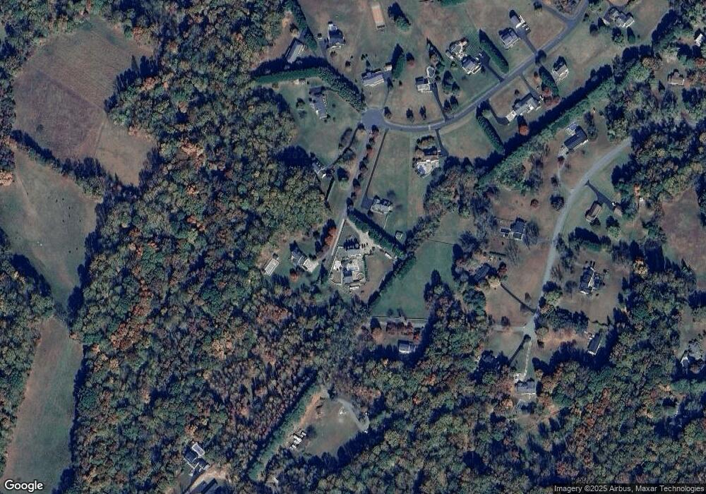
1021 Doris Dr Owings, MD 20736
Estimated Value: $794,000 - $915,000
--
Bed
2
Baths
4,096
Sq Ft
$211/Sq Ft
Est. Value
About This Home
This home is located at 1021 Doris Dr, Owings, MD 20736 and is currently estimated at $865,354, approximately $211 per square foot. 1021 Doris Dr is a home located in Calvert County with nearby schools including Sunderland Elementary School, Northern Middle School, and Northern High School.
Ownership History
Date
Name
Owned For
Owner Type
Purchase Details
Closed on
Oct 22, 2001
Sold by
Mcconkey Kelly D and Mc Conkey Effie S
Bought by
Mcconkey Kelly D and Mc Conkey Kimberly A
Current Estimated Value
Purchase Details
Closed on
Jun 21, 2000
Sold by
Mcconkey Kelly D and Mc Conkey Effie S
Bought by
Mcconkey Kelly D and Mc Conkey Effie S
Purchase Details
Closed on
May 16, 2000
Sold by
Mcconkey Kelly D
Bought by
Mcconkey Kelly D and Mc Conkey Effie S
Purchase Details
Closed on
Apr 7, 1997
Sold by
Sunderland Doris W
Bought by
Mcconkey Kelly D
Create a Home Valuation Report for This Property
The Home Valuation Report is an in-depth analysis detailing your home's value as well as a comparison with similar homes in the area
Home Values in the Area
Average Home Value in this Area
Purchase History
| Date | Buyer | Sale Price | Title Company |
|---|---|---|---|
| Mcconkey Kelly D | -- | -- | |
| Mcconkey Kelly D | -- | -- | |
| Mcconkey Kelly D | -- | -- | |
| Mcconkey Kelly D | $78,000 | -- |
Source: Public Records
Mortgage History
| Date | Status | Borrower | Loan Amount |
|---|---|---|---|
| Closed | Mcconkey Kelly D | -- |
Source: Public Records
Tax History Compared to Growth
Tax History
| Year | Tax Paid | Tax Assessment Tax Assessment Total Assessment is a certain percentage of the fair market value that is determined by local assessors to be the total taxable value of land and additions on the property. | Land | Improvement |
|---|---|---|---|---|
| 2025 | $8,312 | $806,200 | $180,000 | $626,200 |
| 2024 | $8,312 | $750,200 | $0 | $0 |
| 2023 | $7,427 | $694,200 | $0 | $0 |
| 2022 | $6,842 | $638,200 | $180,000 | $458,200 |
| 2021 | $6,475 | $619,400 | $0 | $0 |
| 2020 | $6,475 | $600,600 | $0 | $0 |
| 2019 | $6,305 | $581,800 | $180,000 | $401,800 |
| 2018 | $6,292 | $581,800 | $180,000 | $401,800 |
| 2017 | $6,376 | $581,800 | $0 | $0 |
| 2016 | -- | $588,200 | $0 | $0 |
| 2015 | $6,133 | $588,200 | $0 | $0 |
| 2014 | $6,133 | $588,200 | $0 | $0 |
Source: Public Records
Map
Nearby Homes
- 6440 Briarwood Dr
- 7425 Danbridge Ln
- 7110 Bluegrass Way
- 1030 Stephen Reid Dr
- 7818 Lake Shore Dr
- 215 Hoile Ln
- 125 Prospect Dr
- 1135 Sheridan Dr
- 2550 Redbud Ln
- 140 Hoile Ln
- 5930 Solomons Island Rd
- 290 Skinners Turn Rd
- 270 Skinners Turn Rd
- 159 Boothhaven Ln
- 2495 Chaneyville Rd
- 7440 Quaking Dr
- 5650 Collington Ct
- 2520 Lower Marlboro Rd
- 5460 Solomons Island Rd
- 6530 Academy Dr
- 1025 Doris Dr
- 1011 Doris Dr
- 1061 Lord Cecil Dr
- 1041 Lord Cecil Dr
- 1031 Doris Dr
- 1041 Doris Dr
- 1001 Doris Dr
- 1031 Lord Cecil Dr
- 1070 Lord Cecil Dr
- 1020 Doris Dr
- 1030 Doris Dr
- 1051 Lord Cecil Dr
- 1060 Lord Cecil Dr
- 1000 Doris Dr
- 1045 Doris Dr
- 1010 Doris Dr
- 1040 Doris Dr
- 1040 Lord Cecil Dr
- 1030 Lord Cecil Dr
- 1021 Lord Cecil Dr
