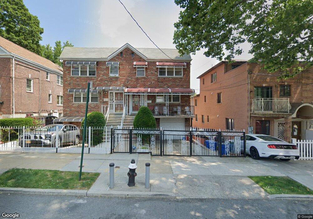
1021 E 231st St Bronx, NY 10466
Wakefield NeighborhoodEstimated Value: $689,729 - $824,000
--
Bed
--
Bath
2,695
Sq Ft
$282/Sq Ft
Est. Value
About This Home
This home is located at 1021 E 231st St, Bronx, NY 10466 and is currently estimated at $760,932, approximately $282 per square foot. 1021 E 231st St is a home located in Bronx County with nearby schools including P.S. 87, North Bronx School of Empowerment, and Wake-Eden Community Baptist Church.
Ownership History
Date
Name
Owned For
Owner Type
Purchase Details
Closed on
Jul 10, 1998
Sold by
Scott Maggie L and Scott Maryell
Bought by
Daley Nehemiah and Daley Vivienne
Current Estimated Value
Home Financials for this Owner
Home Financials are based on the most recent Mortgage that was taken out on this home.
Original Mortgage
$237,500
Interest Rate
8.15%
Create a Home Valuation Report for This Property
The Home Valuation Report is an in-depth analysis detailing your home's value as well as a comparison with similar homes in the area
Home Values in the Area
Average Home Value in this Area
Purchase History
| Date | Buyer | Sale Price | Title Company |
|---|---|---|---|
| Daley Nehemiah | $250,000 | -- |
Source: Public Records
Mortgage History
| Date | Status | Borrower | Loan Amount |
|---|---|---|---|
| Previous Owner | Daley Nehemiah | $237,500 |
Source: Public Records
Tax History Compared to Growth
Tax History
| Year | Tax Paid | Tax Assessment Tax Assessment Total Assessment is a certain percentage of the fair market value that is determined by local assessors to be the total taxable value of land and additions on the property. | Land | Improvement |
|---|---|---|---|---|
| 2025 | $6,990 | $38,374 | $6,831 | $31,543 |
| 2024 | $6,990 | $36,202 | $6,951 | $29,251 |
| 2023 | $7,068 | $36,202 | $6,130 | $30,072 |
| 2022 | $6,747 | $45,900 | $8,940 | $36,960 |
| 2021 | $6,830 | $38,040 | $8,940 | $29,100 |
| 2020 | $6,473 | $40,800 | $8,940 | $31,860 |
| 2019 | $6,018 | $35,700 | $8,940 | $26,760 |
| 2018 | $5,852 | $30,168 | $7,442 | $22,726 |
| 2017 | $5,686 | $29,361 | $8,928 | $20,433 |
| 2016 | $5,337 | $28,246 | $8,732 | $19,514 |
| 2015 | $3,121 | $26,648 | $8,829 | $17,819 |
| 2014 | $3,121 | $25,140 | $9,900 | $15,240 |
Source: Public Records
Map
Nearby Homes
- 4178 Paulding Ave
- 1019 E 230th St
- 1012 E 233rd St
- 1010 E 230th St
- 1050 E 232nd St
- 1017 E 229th St
- 937 E 230th St
- 1025 E 229th St Unit B
- 4101 Paulding Ave
- 931 E 232nd St
- 4161 Laconia Ave
- 947 E 229th St
- 964 E 229th St
- 4026 Wickham Ave
- 4059 Paulding Ave
- 1019 E 228th St
- 4018A Bruner Ave
- 1073 E 233rd St
- 4104 Digney Ave
- 1777 Edenwald Ave
- 1019 E 231st St
- 1027 E 231st St
- 1029 E 231st St
- 1015 E 231st St
- 1015 E 231st St Unit 1
- 1031 E 231 St Unit 2
- 1031 E 231 St Unit 2fl
- 1031 E 231 St
- 1031 E 231st St Unit 2fl
- 1031 E 231st St
- 1033 E 231st St
- 1013 E 231st St
- 1020 E 232nd St
- 1022 E 232nd St Unit 1024
- 1022-1024 E 232nd St
- 1035 E 231st St
- 1018 E 232nd St
- 1011 E 231st St
- 1026 E 232nd St
- 1014 E 232nd St