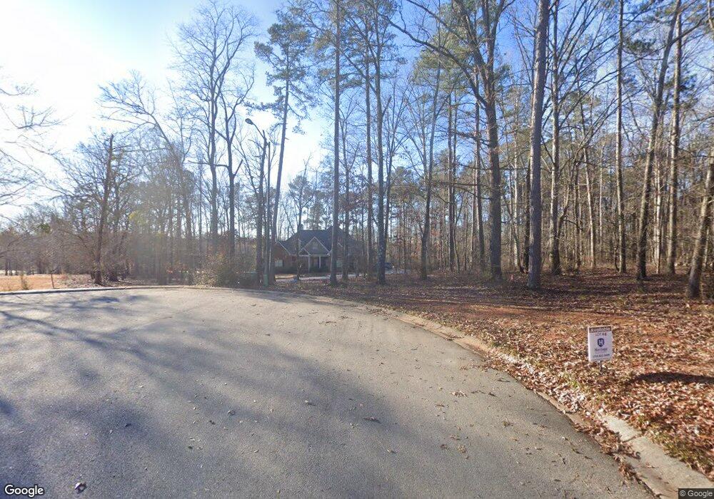
1021 Holly Tree Trace Bishop, GA 30621
Estimated Value: $832,000 - $994,000
Studio
--
Bath
3,344
Sq Ft
$270/Sq Ft
Est. Value
About This Home
This home is located at 1021 Holly Tree Trace, Bishop, GA 30621 and is currently estimated at $904,291, approximately $270 per square foot. 1021 Holly Tree Trace is a home with nearby schools including High Shoals Elementary School, Malcom Bridge Middle School, and North Oconee High School.
Ownership History
Date
Name
Owned For
Owner Type
Purchase Details
Closed on
Jun 21, 2021
Sold by
Francis David A
Bought by
Francis Layne Swan
Current Estimated Value
Purchase Details
Closed on
Jan 24, 2019
Sold by
Francis David A
Bought by
Francis David A and Francis Layne S
Home Financials for this Owner
Home Financials are based on the most recent Mortgage that was taken out on this home.
Original Mortgage
$440,000
Interest Rate
4.5%
Mortgage Type
New Conventional
Purchase Details
Closed on
Aug 18, 2010
Sold by
Lane Creek Plantation Llc
Bought by
Francis David A
Home Financials for this Owner
Home Financials are based on the most recent Mortgage that was taken out on this home.
Original Mortgage
$128,000
Interest Rate
4.59%
Mortgage Type
Unknown
Create a Home Valuation Report for This Property
The Home Valuation Report is an in-depth analysis detailing your home's value as well as a comparison with similar homes in the area
Purchase History
| Date | Buyer | Sale Price | Title Company |
|---|---|---|---|
| Francis Layne Swan | -- | -- | |
| Francis David A | -- | -- | |
| Francis David A | $115,000 | -- |
Source: Public Records
Mortgage History
| Date | Status | Borrower | Loan Amount |
|---|---|---|---|
| Previous Owner | Francis David A | $440,000 | |
| Previous Owner | Francis David A | $128,000 |
Source: Public Records
Tax History
| Year | Tax Paid | Tax Assessment Tax Assessment Total Assessment is a certain percentage of the fair market value that is determined by local assessors to be the total taxable value of land and additions on the property. | Land | Improvement |
|---|---|---|---|---|
| 2025 | $4,139 | $354,085 | $45,540 | $308,545 |
| 2024 | $4,139 | $339,754 | $45,540 | $294,214 |
| 2023 | $4,519 | $338,031 | $47,840 | $290,191 |
| 2022 | $5,170 | $298,110 | $47,840 | $250,270 |
| 2021 | $5,566 | $260,762 | $47,840 | $212,922 |
| 2020 | $5,579 | $245,484 | $47,840 | $197,644 |
| 2019 | $5,517 | $236,270 | $47,840 | $188,430 |
| 2018 | $1,031 | $41,860 | $41,860 | $0 |
| 2017 | $892 | $36,000 | $36,000 | $0 |
| 2016 | $832 | $33,488 | $33,488 | $0 |
| 2015 | $696 | $29,302 | $29,302 | $0 |
| 2014 | $569 | $23,442 | $23,442 | $0 |
| 2013 | -- | $17,581 | $17,581 | $0 |
Source: Public Records
Map
Nearby Homes
- 1041 Riverhill Dr
- 1071 Riverhill Dr
- 1311 Riverhill Dr
- 1251 Riverhill Dr
- 1241 Riverhill Dr
- 1410 Lane Creek Dr
- 1140 Riverhill Dr
- 2841 Cole Springs Rd
- 2821 Cole Springs Rd
- 1070 Lane Creek Terrace
- 1691 Snows Mill Rd
- 2575 Rays Church Rd
- 2100 Rays Church Rd
- 2567 Rays Church Rd
- 1991 Moores Ford Rd
- 246 Jefferson Rd
- 136 Frazier Hill Rd
- 1224 Malcom Estates Point Lot: 67
- 1070 Lexington Ct
- 1011 Holly Tree Trace
- 1151 Red Fox Trail
- 1191 Red Fox Trail
- 000 Red Fox Trail
- 1750 Lane Creek Dr
- 1131 Red Fox Trail
- 1760 Lane Creek Dr
- 1740 Lane Creek Dr
- 1770 Lane Creek Dr
- 1180 Deer Trail
- 1780 Lane Creek Dr
- 1170 Deer Trail
- 1160 Deer Trail
- 1150 Red Fox Trail
- 1100 Deer Trail
- 1150 Deer Trail
- 1120 Deer Trail
- 1790 Lane Creek Dr
- 1010 Riverhill Dr
- 1710 Lane Creek Dr
Your Personal Tour Guide
Ask me questions while you tour the home.