1021 Jeff Ct Clatskanie, OR 97016
Estimated Value: $334,516 - $378,000
3
Beds
2
Baths
1,316
Sq Ft
$272/Sq Ft
Est. Value
About This Home
This home is located at 1021 Jeff Ct, Clatskanie, OR 97016 and is currently estimated at $357,629, approximately $271 per square foot. 1021 Jeff Ct is a home with nearby schools including Clatskanie Elementary School, Clatskanie Middle/High School, and Piercing Arrow Private School.
Ownership History
Date
Name
Owned For
Owner Type
Purchase Details
Closed on
May 23, 2007
Sold by
Simpson John H and Simpson Karolyn M
Bought by
Gorley Terra L
Current Estimated Value
Home Financials for this Owner
Home Financials are based on the most recent Mortgage that was taken out on this home.
Original Mortgage
$135,000
Outstanding Balance
$81,759
Interest Rate
6.18%
Mortgage Type
Unknown
Estimated Equity
$275,870
Create a Home Valuation Report for This Property
The Home Valuation Report is an in-depth analysis detailing your home's value as well as a comparison with similar homes in the area
Home Values in the Area
Average Home Value in this Area
Purchase History
| Date | Buyer | Sale Price | Title Company |
|---|---|---|---|
| Gorley Terra L | $180,000 | Ticor Title |
Source: Public Records
Mortgage History
| Date | Status | Borrower | Loan Amount |
|---|---|---|---|
| Open | Gorley Terra L | $135,000 |
Source: Public Records
Tax History Compared to Growth
Tax History
| Year | Tax Paid | Tax Assessment Tax Assessment Total Assessment is a certain percentage of the fair market value that is determined by local assessors to be the total taxable value of land and additions on the property. | Land | Improvement |
|---|---|---|---|---|
| 2025 | $3,152 | $174,560 | $43,780 | $130,780 |
| 2024 | $3,050 | $169,480 | $42,500 | $126,980 |
| 2023 | $3,011 | $164,550 | $36,370 | $128,180 |
| 2022 | $2,897 | $159,760 | $35,010 | $124,750 |
| 2021 | $2,816 | $155,110 | $37,310 | $117,800 |
| 2020 | $2,765 | $150,600 | $34,670 | $115,930 |
| 2019 | $2,389 | $146,220 | $33,270 | $112,950 |
| 2018 | $2,152 | $141,970 | $46,610 | $95,360 |
| 2017 | $2,161 | $137,840 | $45,250 | $92,590 |
| 2016 | $1,789 | $129,200 | $43,130 | $86,070 |
| 2015 | $1,738 | $124,970 | $40,090 | $84,880 |
| 2014 | $1,917 | $133,830 | $40,000 | $93,830 |
Source: Public Records
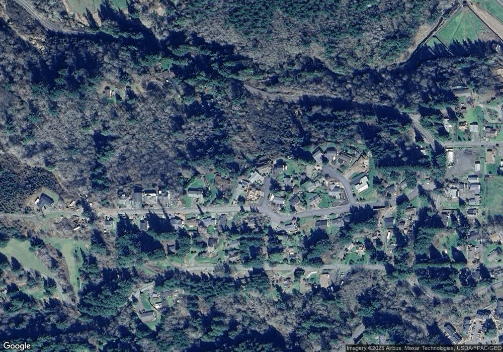
Map
Nearby Homes
- 810 Howard Dr
- 0 Bel Air Dr
- 505 SW Tichenor St
- 636 S Nehalem St
- 3 SW Canyon Rd
- 2 SW Canyon Rd
- 1 SW Canyon Rd
- 601 E Columbia River Hwy Unit 34
- 18229 Haven Acres Rd
- 0 Palm Hill Rd Unit 467442641
- 0 Conyers Creek Unit 208773965
- 78098 Erickson Dike Rd
- 1390 Swedetown Rd
- 831 Virginia Cir
- 74763 Conyers Creek Rd
- 78527 Point Adams Rd
- 78384 Collins Rd
- 75401 Clatskanie Valley Dr
- 0 Lindberg Rd
- 0 Beaver Falls Rd Unit 721211834
- 1001 Jeff Ct
- 965 Janis Ct
- 1041 Jeff Ct
- 680 Howard Dr
- 690 Howard Dr
- 1050 Jeff Ct
- 0 Howard Dr
- 580 Howard Dr
- 1020 Jeff Ct
- 605 Howard Dr
- 965 Janice Ct
- 585 Howard Dr
- 750 Howard Dr
- 937 SW Janis Ct
- 0 Fall Creek Property Unit 19307034
- 970 Janice Ct
- 625 Howard Dr
- 0 N W Corner Korsmo S Unit 191161
- 937 Janice Ct
- 945 Korsmo Dr