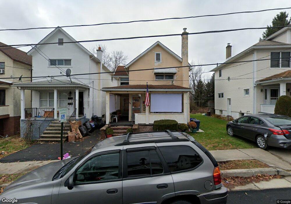
1021 Luke Ave Scranton, PA 18510
Hill Section NeighborhoodEstimated Value: $113,000 - $120,000
--
Bed
--
Bath
--
Sq Ft
5,489
Sq Ft Lot
About This Home
This home is located at 1021 Luke Ave, Scranton, PA 18510 and is currently estimated at $117,112. 1021 Luke Ave is a home located in Lackawanna County with nearby schools including William Prescott School, Northeast Scranton Intermediate School, and Scranton High School.
Ownership History
Date
Name
Owned For
Owner Type
Purchase Details
Closed on
Feb 13, 2025
Sold by
Cipriano Rocco
Bought by
Anslinger Pamela Christine
Current Estimated Value
Home Financials for this Owner
Home Financials are based on the most recent Mortgage that was taken out on this home.
Original Mortgage
$82,500
Outstanding Balance
$82,010
Interest Rate
6.91%
Mortgage Type
New Conventional
Estimated Equity
$35,102
Purchase Details
Closed on
Nov 26, 1997
Bought by
Cipriano Rocco and Cipriano Margaret
Create a Home Valuation Report for This Property
The Home Valuation Report is an in-depth analysis detailing your home's value as well as a comparison with similar homes in the area
Home Values in the Area
Average Home Value in this Area
Purchase History
| Date | Buyer | Sale Price | Title Company |
|---|---|---|---|
| Anslinger Pamela Christine | $110,000 | None Listed On Document | |
| Cipriano Rocco | $58,000 | -- |
Source: Public Records
Mortgage History
| Date | Status | Borrower | Loan Amount |
|---|---|---|---|
| Open | Anslinger Pamela Christine | $82,500 |
Source: Public Records
Tax History Compared to Growth
Tax History
| Year | Tax Paid | Tax Assessment Tax Assessment Total Assessment is a certain percentage of the fair market value that is determined by local assessors to be the total taxable value of land and additions on the property. | Land | Improvement |
|---|---|---|---|---|
| 2025 | $2,722 | $9,000 | $550 | $8,450 |
| 2024 | $2,476 | $9,000 | $550 | $8,450 |
| 2023 | $2,476 | $9,000 | $550 | $8,450 |
| 2022 | $2,421 | $9,000 | $550 | $8,450 |
| 2021 | $2,421 | $9,000 | $550 | $8,450 |
| 2020 | $2,373 | $9,000 | $550 | $8,450 |
| 2019 | $2,228 | $9,000 | $550 | $8,450 |
| 2018 | $2,228 | $9,000 | $550 | $8,450 |
| 2017 | $2,186 | $9,000 | $550 | $8,450 |
| 2016 | $555 | $9,000 | $550 | $8,450 |
| 2015 | $1,609 | $9,000 | $550 | $8,450 |
| 2014 | -- | $9,000 | $550 | $8,450 |
Source: Public Records
Map
Nearby Homes
- 134 Sand St
- 2116 Myrtle St
- 1025 Mill St
- 816 Meade St
- 1722 Ash St
- 100 Marjorie Dr
- 407 Butler St
- 503 Smith St
- 0 Colfax and Gibson Ave Unit GSBSC255175
- 60 Elmhurst Blvd
- 13 Pen Y Bryn Dr Unit L21
- 1017 Prescott Ave
- 1121 1123 Farber Ct
- 410 Smith St
- 402
- 32 Elmhurst Blvd
- 825 Prescott Ave
- 350 Smith St Unit L 70
- 949 N Irving Ave
- 4 Pen Y Bryn Dr