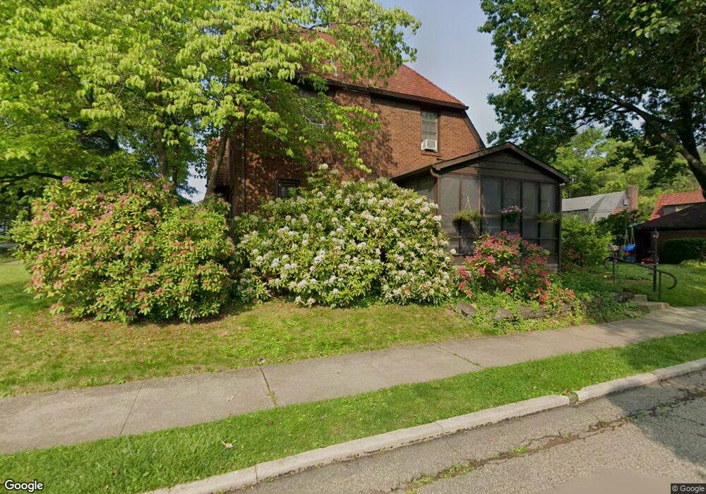
1021 Manor Rd New Kensington, PA 15068
Estimated Value: $178,000 - $224,000
--
Bed
--
Bath
--
Sq Ft
4,835
Sq Ft Lot
About This Home
This home is located at 1021 Manor Rd, New Kensington, PA 15068 and is currently estimated at $207,667. 1021 Manor Rd is a home located in Westmoreland County with nearby schools including Mary Queen of Apostles School.
Ownership History
Date
Name
Owned For
Owner Type
Purchase Details
Closed on
Aug 1, 2020
Sold by
Momberger Eric C and Momberger Karen L
Bought by
Milliron Nora D and Kanaan Alex
Current Estimated Value
Home Financials for this Owner
Home Financials are based on the most recent Mortgage that was taken out on this home.
Original Mortgage
$13,725
Outstanding Balance
$12,152
Interest Rate
2.9%
Mortgage Type
New Conventional
Estimated Equity
$195,515
Create a Home Valuation Report for This Property
The Home Valuation Report is an in-depth analysis detailing your home's value as well as a comparison with similar homes in the area
Home Values in the Area
Average Home Value in this Area
Purchase History
| Date | Buyer | Sale Price | Title Company |
|---|---|---|---|
| Milliron Nora D | $150,000 | None Available |
Source: Public Records
Mortgage History
| Date | Status | Borrower | Loan Amount |
|---|---|---|---|
| Open | Milliron Nora D | $13,725 |
Source: Public Records
Tax History Compared to Growth
Tax History
| Year | Tax Paid | Tax Assessment Tax Assessment Total Assessment is a certain percentage of the fair market value that is determined by local assessors to be the total taxable value of land and additions on the property. | Land | Improvement |
|---|---|---|---|---|
| 2025 | $3,297 | $20,650 | $4,320 | $16,330 |
| 2024 | $3,266 | $20,650 | $4,320 | $16,330 |
| 2023 | $3,090 | $20,650 | $4,320 | $16,330 |
| 2022 | $2,996 | $20,650 | $4,320 | $16,330 |
| 2021 | $2,928 | $20,650 | $4,320 | $16,330 |
| 2020 | $2,866 | $20,650 | $4,320 | $16,330 |
| 2019 | $2,794 | $20,650 | $4,320 | $16,330 |
| 2018 | $2,752 | $20,650 | $4,320 | $16,330 |
| 2017 | $2,711 | $20,650 | $4,320 | $16,330 |
| 2016 | $2,711 | $20,650 | $4,320 | $16,330 |
| 2015 | $2,711 | $20,650 | $4,320 | $16,330 |
| 2014 | $2,605 | $20,650 | $4,320 | $16,330 |
Source: Public Records
Map
Nearby Homes
- 1024 Knollwood Rd
- 1719 Freeport Rd
- 1400 Orchard Ave
- 1741 Freeport Rd Unit U
- 1735 Kimball Ave
- 1717 Ridge Ave
- 1308 Taylor Ave
- 533 Freeport Rd
- 1802 Kimball Ave
- 1520 Woodmont Ave
- 1809 Kimball Ave
- 1312 Woodmont Ave
- 1515 Woodmont Ave
- 1802 Alcoa Dr
- 1407 Drey St Unit 29
- 1218 Woodmont Ave
- 1521 Victoria Ave
- 1240 Victoria Ave
- 1820 Victoria Ave
- 1909 Woodmont Ave