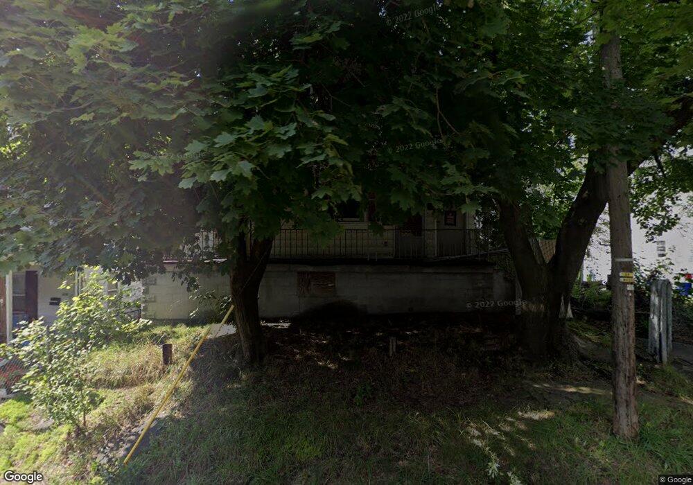
1021 Mark Ave Scranton, PA 18510
Hill Section NeighborhoodEstimated Value: $44,186 - $325,000
Studio
--
Bath
1,460
Sq Ft
$126/Sq Ft
Est. Value
About This Home
This home is located at 1021 Mark Ave, Scranton, PA 18510 and is currently estimated at $184,593, approximately $126 per square foot. 1021 Mark Ave is a home located in Lackawanna County with nearby schools including William Prescott School, Northeast Scranton Intermediate School, and Scranton High School.
Ownership History
Date
Name
Owned For
Owner Type
Purchase Details
Closed on
Sep 8, 2025
Sold by
Gervasi Thomas and Gervasi Martha A
Bought by
B H Management 1315 Llc
Current Estimated Value
Home Financials for this Owner
Home Financials are based on the most recent Mortgage that was taken out on this home.
Original Mortgage
$183,325
Outstanding Balance
$182,685
Interest Rate
6.72%
Mortgage Type
Credit Line Revolving
Estimated Equity
$1,908
Purchase Details
Closed on
Apr 28, 1995
Bought by
Gervasi Thomas and Gervasi Martha A
Create a Home Valuation Report for This Property
The Home Valuation Report is an in-depth analysis detailing your home's value as well as a comparison with similar homes in the area
Home Values in the Area
Average Home Value in this Area
Purchase History
| Date | Buyer | Sale Price | Title Company |
|---|---|---|---|
| B H Management 1315 Llc | $44,250 | Pocono Mountain Abstract | |
| Gervasi Thomas | $25,000 | -- |
Source: Public Records
Mortgage History
| Date | Status | Borrower | Loan Amount |
|---|---|---|---|
| Open | B H Management 1315 Llc | $183,325 |
Source: Public Records
Tax History
| Year | Tax Paid | Tax Assessment Tax Assessment Total Assessment is a certain percentage of the fair market value that is determined by local assessors to be the total taxable value of land and additions on the property. | Land | Improvement |
|---|---|---|---|---|
| 2025 | $609 | $1,250 | $1,250 | $0 |
| 2024 | $570 | $1,250 | $1,250 | $0 |
| 2023 | $570 | $1,250 | $1,250 | $0 |
| 2022 | $558 | $1,250 | $1,250 | $0 |
| 2021 | $558 | $1,250 | $1,250 | $0 |
| 2020 | $551 | $1,250 | $1,250 | $0 |
| 2019 | $523 | $1,250 | $1,250 | $0 |
| 2018 | $523 | $1,250 | $1,250 | $0 |
| 2017 | $517 | $1,250 | $1,250 | $0 |
| 2016 | $291 | $1,250 | $1,250 | $0 |
| 2015 | $1,771 | $9,250 | $1,250 | $8,000 |
| 2014 | -- | $9,250 | $1,250 | $8,000 |
Source: Public Records
Map
Nearby Homes
- 1050 Mark Ave
- 1005 Luke Ave
- 2122 Ash St
- 837 Matthew Ave
- 200 Sand St
- 0 Silkman Ave
- 812 Butler St
- 611 Chestnut St
- 2211 Ash St
- 80 Elmhurst Blvd
- 709 Meade St
- 0 Colfax and Gibson Ave Unit GSBSC255175
- 810 Wheeler Ave
- 213 Karen Dr
- 1112 Prescott Ave
- 1050 Prescott Ave
- 619 Arthur Ave
- 1017 Prescott Ave
- 617 Arthur Ave
- 615 Arthur Ave