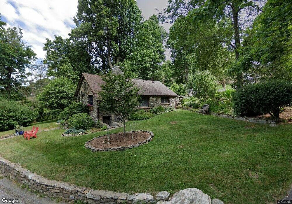
1021 Middle Fork Rd Blowing Rock, NC 28605
Estimated Value: $412,730 - $672,000
2
Beds
2
Baths
1,157
Sq Ft
$477/Sq Ft
Est. Value
About This Home
This home is located at 1021 Middle Fork Rd, Blowing Rock, NC 28605 and is currently estimated at $551,683, approximately $476 per square foot. 1021 Middle Fork Rd is a home located in Watauga County with nearby schools including Blowing Rock Elementary School and Watauga High School.
Ownership History
Date
Name
Owned For
Owner Type
Purchase Details
Closed on
Mar 21, 2024
Sold by
Heath Robert
Bought by
Robert R Heath Revocable Trust and Nancy R Dennett Revocable Trust
Current Estimated Value
Purchase Details
Closed on
May 8, 2015
Sold by
Bond Hal L and Bond Lucille
Bought by
Heath Robert
Home Financials for this Owner
Home Financials are based on the most recent Mortgage that was taken out on this home.
Original Mortgage
$243,225
Interest Rate
3.79%
Mortgage Type
VA
Create a Home Valuation Report for This Property
The Home Valuation Report is an in-depth analysis detailing your home's value as well as a comparison with similar homes in the area
Home Values in the Area
Average Home Value in this Area
Purchase History
| Date | Buyer | Sale Price | Title Company |
|---|---|---|---|
| Robert R Heath Revocable Trust | -- | None Listed On Document | |
| Robert R Heath Revocable Trust | -- | None Listed On Document | |
| Heath Robert | $243,500 | Attorney |
Source: Public Records
Mortgage History
| Date | Status | Borrower | Loan Amount |
|---|---|---|---|
| Previous Owner | Heath Robert | $243,225 |
Source: Public Records
Tax History
| Year | Tax Paid | Tax Assessment Tax Assessment Total Assessment is a certain percentage of the fair market value that is determined by local assessors to be the total taxable value of land and additions on the property. | Land | Improvement |
|---|---|---|---|---|
| 2025 | $1,026 | $250,900 | $66,100 | $184,800 |
| 2024 | $1,026 | $250,900 | $66,100 | $184,800 |
| 2023 | $1,003 | $250,900 | $66,100 | $184,800 |
| 2022 | $1,003 | $250,900 | $66,100 | $184,800 |
| 2021 | $826 | $164,700 | $45,600 | $119,100 |
| 2020 | $826 | $164,700 | $45,600 | $119,100 |
| 2019 | $826 | $164,700 | $45,600 | $119,100 |
| 2018 | $744 | $164,700 | $45,600 | $119,100 |
| 2017 | $744 | $164,700 | $45,600 | $119,100 |
| 2013 | -- | $142,100 | $37,500 | $104,600 |
Source: Public Records
Map
Nearby Homes
- 178 Sorrento Park Dr
- 117 Sorrento Park Dr
- 2 Wyeth Dr
- Tract 2 Sorrento Dr
- 1 Wyeth Dr
- TBD Wyeth Dr
- TBD Wyeth Dr Unit 11
- TBD Heritage Ridge Rd
- 245 Bella Vista Dr
- 240 Hiview Dr
- 298 Jones Miller Dr
- TBD Jones Miller Dr
- TBD Locust Point Dr
- 11 Wapiti Way
- 5 Wapiti Way
- 290 Cobble Creek Ln
- 277 Woodland Ln
- 1075 Center Court Dr
- 615 Sampson Rd
- 27 Antler Trail
- 939 Middle Fork Rd
- 1019 Middle Fork Rd
- 996 Middle Fork Rd
- 949 Middle Fork Rd
- 218 Wild Turkey Ridge
- 937 Middle Fork Rd
- TBD Wild Turkey Ridge
- 338 Wild Turkey Ridge
- 466 Scene A Rama Dr
- 440 Scene A Rama Dr
- 327 Wild Turkey Ridge
- 277 Wild Turkey Ridge
- 878 Middle Fork Rd
- 484 Scene A Rama Dr
- 437 Scene A Rama Dr Unit Q
- 322 Scene A Rama Dr
- 481 Scene A Rama Dr
- 365 Scene A Rama Dr
- 787 Middle Fork Rd
- 307 Scene A Rama Dr
Your Personal Tour Guide
Ask me questions while you tour the home.