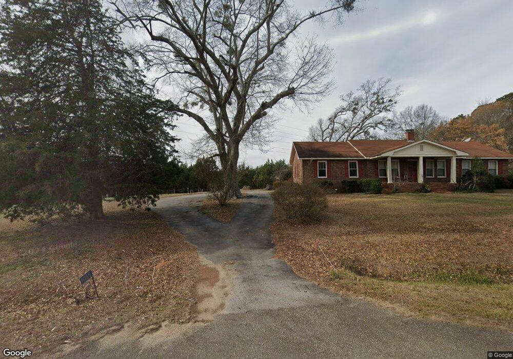
1021 Monroe Hwy Bethlehem, GA 30620
Estimated Value: $424,000 - $867,118
4
Beds
2
Baths
2,156
Sq Ft
$299/Sq Ft
Est. Value
About This Home
This home is located at 1021 Monroe Hwy, Bethlehem, GA 30620 and is currently estimated at $645,559, approximately $299 per square foot. 1021 Monroe Hwy is a home located in Barrow County with nearby schools including Bethlehem Elementary School, Haymon-Morris Middle School, and Apalachee High School.
Ownership History
Date
Name
Owned For
Owner Type
Purchase Details
Closed on
Sep 11, 2009
Sold by
Thompson Randy Dwight
Bought by
Department Of Transportation
Current Estimated Value
Purchase Details
Closed on
Aug 22, 2007
Sold by
Thompson Randy D
Bought by
Department Of Transportation
Purchase Details
Closed on
Jul 29, 1994
Sold by
Thompson Randy D
Bought by
Thompson Randy Dwigh
Create a Home Valuation Report for This Property
The Home Valuation Report is an in-depth analysis detailing your home's value as well as a comparison with similar homes in the area
Home Values in the Area
Average Home Value in this Area
Purchase History
| Date | Buyer | Sale Price | Title Company |
|---|---|---|---|
| Department Of Transportation | -- | -- | |
| Department Of Transportation | -- | -- | |
| Thompson Randy Dwigh | -- | -- |
Source: Public Records
Tax History Compared to Growth
Tax History
| Year | Tax Paid | Tax Assessment Tax Assessment Total Assessment is a certain percentage of the fair market value that is determined by local assessors to be the total taxable value of land and additions on the property. | Land | Improvement |
|---|---|---|---|---|
| 2024 | $3,412 | $280,667 | $156,597 | $124,070 |
| 2023 | $2,957 | $280,667 | $156,597 | $124,070 |
| 2022 | $2,871 | $236,690 | $156,597 | $80,093 |
| 2021 | $2,823 | $229,497 | $156,597 | $72,900 |
| 2020 | $2,632 | $204,390 | $137,794 | $66,596 |
| 2019 | $2,672 | $207,469 | $140,873 | $66,596 |
| 2018 | $2,615 | $207,469 | $140,873 | $66,596 |
| 2017 | $5,794 | $199,003 | $140,873 | $58,130 |
| 2016 | $2,321 | $228,929 | $6,244 | $222,685 |
| 2015 | $2,312 | $228,929 | $6,244 | $222,685 |
| 2014 | $2,080 | $164,736 | $109,302 | $55,434 |
| 2013 | -- | $160,367 | $109,301 | $51,065 |
Source: Public Records
Map
Nearby Homes
- 1217 Cabin Bridge Rd
- 1408 Wyndham Way
- 0 McElhannon Rd SW Unit 10581793
- 1109 Ravenwood Dr
- 1101 Ravenwood Dr
- 303 Carly Ct
- 468 Grand Oaks Ave
- 784 Manger Ave
- 164 Manning Gin Rd
- 449 & 455 Carl-Bethlehem Rd
- 1050 Bethlehem Church Rd
- 0 Manger Ave E Unit 20154677
- 0 Manger Ave E Unit 20127001
- 3800 George Williams Rd
- 0 Tanners Bridge Cr
- 724 Manger Ave
- 0 Tanners Bridge Cir Unit 10536031
- 0 Tanners Bridge Cir Unit 10395514
- 0 Tanners Bridge Cir Unit 7471398
- 483 Raider Way
- 1105 Monroe Hwy
- 1088 Monroe Hwy
- 1133 Monroe Hwy
- 1064 Monroe Hwy
- 1065 Monroe Hwy
- 1144 Monroe Hwy Unit 1
- 1144 Monroe Hwy
- 1160 Monroe Hwy
- 29 Tanners Bridge Rd
- 001 Tanners Bridge Rd
- 25 Tanners Bridge Rd
- Tract 1 Tanners Bridge Rd
- 1040 Monroe Hwy
- Tract 2 Tanners Bridge Rd
- 226 McElhannon Rd SW
- 1176 Monroe Hwy
- 0 Cabin Bridge Rd Unit 18 2375164
- 0 Cabin Bridge Rd Unit 18 3261721
- 0 Cabin Bridge Rd
- 0 Cabin Bridge Rd Unit 20132303