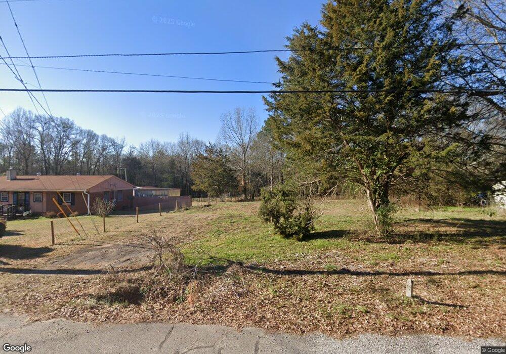
1021 Moreland Way Watkinsville, GA 30677
Estimated Value: $40,143 - $391,000
3
Beds
1
Bath
1,123
Sq Ft
$220/Sq Ft
Est. Value
About This Home
This home is located at 1021 Moreland Way, Watkinsville, GA 30677 and is currently estimated at $247,536, approximately $220 per square foot. 1021 Moreland Way is a home located in Oconee County with nearby schools including Oconee County Elementary School, Oconee County Primary School, and Oconee County Middle School.
Ownership History
Date
Name
Owned For
Owner Type
Purchase Details
Closed on
Jul 14, 2017
Bought by
Grayson Leona Faye and Grayson Richard F
Current Estimated Value
Purchase Details
Closed on
Sep 17, 2015
Sold by
Ganschow Thomas W
Bought by
Athens Area Habitat For Humani
Purchase Details
Closed on
May 30, 2002
Sold by
Ganschow Thomas W
Bought by
Ganschow Thomas W
Purchase Details
Closed on
Mar 1, 2002
Sold by
Century South Bank Of Danielsville
Bought by
Lowery Chad J
Create a Home Valuation Report for This Property
The Home Valuation Report is an in-depth analysis detailing your home's value as well as a comparison with similar homes in the area
Home Values in the Area
Average Home Value in this Area
Purchase History
| Date | Buyer | Sale Price | Title Company |
|---|---|---|---|
| Grayson Leona Faye | $20,000 | -- | |
| Athens Area Habitat For Humani | -- | -- | |
| Ganschow Thomas W | -- | -- | |
| Ganschow Thomas W | $67,000 | -- | |
| Lowery Chad J | $26,500 | -- |
Source: Public Records
Tax History Compared to Growth
Tax History
| Year | Tax Paid | Tax Assessment Tax Assessment Total Assessment is a certain percentage of the fair market value that is determined by local assessors to be the total taxable value of land and additions on the property. | Land | Improvement |
|---|---|---|---|---|
| 2024 | $181 | $10,000 | $10,000 | $0 |
| 2023 | $187 | $10,500 | $10,500 | $0 |
| 2022 | $225 | $10,500 | $10,500 | $0 |
| 2021 | $146 | $6,300 | $6,300 | $0 |
| 2020 | $146 | $6,300 | $6,300 | $0 |
| 2019 | $107 | $4,620 | $4,620 | $0 |
| 2018 | $109 | $4,620 | $4,620 | $0 |
| 2017 | $442 | $18,644 | $4,620 | $14,024 |
| 2016 | $419 | $17,695 | $4,200 | $13,495 |
| 2015 | $561 | $23,636 | $4,200 | $19,436 |
| 2014 | $550 | $22,666 | $4,200 | $18,466 |
| 2013 | -- | $21,331 | $4,200 | $17,131 |
Source: Public Records
Map
Nearby Homes
- 1040 Thomas Ave
- 1001 Moreland Dr
- 88 Cedar Dr
- 85 Cedar Dr
- 1130 Latham Dr
- 1050 Summit Oaks Dr
- 170 Elliot Cir
- 155 Vfw Dr
- 1240 Summit Dr
- 1036 Falling Leaf Ct Unit 2
- 1036 Falling Leaf Ct
- 2051 Simonton Bridge Rd
- 1180 Allgood Rd
- 1200 Paxton Ct
- 1511 Paxton Ct
- 1810 Paxton Ct
- 1051 Simonton Way
- 1220 Twelve Oaks Cir
- 0 Moreland Way
- 1011 Moreland Way
- 1031 Moreland Way
- 1001 Moreland Way
- 1151 Moreland Dr
- 1141 Moreland Dr
- 1120 Moreland Dr
- 1071 Thomas Ave
- 1081 Thomas Ave Unit LOT 14
- 1081 Thomas Ave
- 1101 Moreland Dr
- 1011 Lampkin Branch Dr
- 1061 Thomas Ave Unit LOT 16
- 1061 Thomas Ave
- 1080 Moreland Dr
- 1060 Moreland Heights Rd
- 1080 Thomas Ave Unit LOT 13
- 1080 Thomas Ave
- 1081 Moreland Dr
- 1021 Lampkin Branch Dr Unit LOT 17