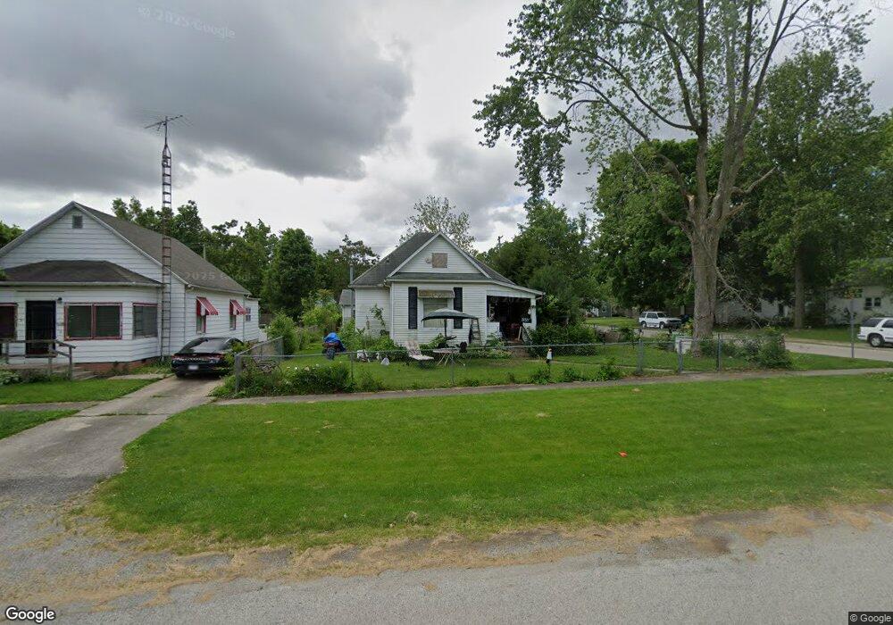
1021 Moultrie Ave Mattoon, IL 61938
Estimated Value: $56,944 - $78,000
2
Beds
1
Bath
1,076
Sq Ft
$65/Sq Ft
Est. Value
About This Home
This home is located at 1021 Moultrie Ave, Mattoon, IL 61938 and is currently estimated at $70,236, approximately $65 per square foot. 1021 Moultrie Ave is a home located in Coles County with nearby schools including Mattoon High School, St Mary School, and St. John's Lutheran School.
Ownership History
Date
Name
Owned For
Owner Type
Purchase Details
Closed on
Feb 14, 2018
Sold by
Smith Benjamin O
Bought by
Smith Benjamin O and Prather Cindy L
Current Estimated Value
Purchase Details
Closed on
Jul 27, 2017
Sold by
Prather Cindy L
Bought by
Smith Benjamin O
Purchase Details
Closed on
Jul 16, 2016
Sold by
Zumwalt Nancy
Bought by
Prather Cindy Lou
Purchase Details
Closed on
Jul 14, 2016
Sold by
Scott Jerry
Bought by
Prather Cindy Lou
Create a Home Valuation Report for This Property
The Home Valuation Report is an in-depth analysis detailing your home's value as well as a comparison with similar homes in the area
Home Values in the Area
Average Home Value in this Area
Purchase History
We collect this data history from publicly available records. To have your information removed, we recommend requesting removal directly through your county’s website.
| Date | Buyer | Sale Price | Title Company |
|---|---|---|---|
| Smith Benjamin O | -- | -- | |
| Smith Benjamin O | -- | -- | |
| Prather Cindy Lou | -- | -- | |
| Prather Cindy Lou | -- | -- | |
| Prather Cindy Lou | -- | -- |
Source: Public Records
Tax History
| Year | Tax Paid | Tax Assessment Tax Assessment Total Assessment is a certain percentage of the fair market value that is determined by local assessors to be the total taxable value of land and additions on the property. | Land | Improvement |
|---|---|---|---|---|
| 2024 | $219 | $17,739 | $1,243 | $16,496 |
| 2023 | $185 | $15,839 | $1,110 | $14,729 |
| 2022 | $185 | $15,578 | $1,092 | $14,486 |
| 2021 | $436 | $14,309 | $1,003 | $13,306 |
| 2020 | $218 | $14,825 | $1,039 | $13,786 |
| 2019 | $333 | $14,309 | $2,820 | $11,489 |
| 2018 | $759 | $14,309 | $2,820 | $11,489 |
| 2017 | $756 | $14,309 | $2,820 | $11,489 |
| 2016 | $295 | $14,309 | $2,820 | $11,489 |
| 2015 | -- | $14,309 | $2,820 | $11,489 |
| 2014 | -- | $14,309 | $2,820 | $11,489 |
| 2013 | -- | $14,309 | $2,820 | $11,489 |
Source: Public Records
Map
Nearby Homes
- 1205 Champaign Ave
- 812 N 8th St Unit 36
- 1101 Wabash Ave
- 511 Broadway Ave Unit 101
- 817 Wabash Ave
- 609 Wabash Ave
- 1301 Lafayette Ave
- 1312 Edgar Ave
- 1509 Lafayette Ave
- 1412 Edgar Ave
- 909 N 20th St
- 421 N 21st St
- 301 Wabash Ave
- 1621 Edgar Ave
- 808 N 22nd St
- 601 Marshall Ave
- 609 Marshall Ave
- 43 Elm Ridge
- 2413 Moultrie Ave
- 2400 Western Ave
- 1017 Moultrie Ave
- 1013 Moultrie Ave
- 1009 Moultrie Ave
- 1020 Shelby Ave
- 1016 Shelby Ave
- 1101 Moultrie Ave
- 1012 Shelby Ave
- 1005 Moultrie Ave
- 1008 Shelby Ave
- 1020 Moultrie Ave
- 1016 Moultrie Ave
- 1109 Moultrie Ave
- 1100 Shelby Ave
- 1104 Shelby Ave
- 1012 Moultrie Ave
- 1001 Moultrie Ave
- 1104 Moultrie Ave
- 1004 Shelby Ave
- 1100 Moultrie Ave
- 1008 Moultrie Ave
Your Personal Tour Guide
Ask me questions while you tour the home.