1021 Oliver Ln Unit 24A Greensboro, GA 30642
Estimated Value: $1,720,000 - $2,283,000
4
Beds
4
Baths
2,616
Sq Ft
$741/Sq Ft
Est. Value
About This Home
This home is located at 1021 Oliver Ln Unit 24A, Greensboro, GA 30642 and is currently estimated at $1,937,436, approximately $740 per square foot. 1021 Oliver Ln Unit 24A is a home located in Greene County with nearby schools including Greene County High School.
Ownership History
Date
Name
Owned For
Owner Type
Purchase Details
Closed on
Oct 17, 2018
Sold by
Myatt Larry H
Bought by
Wilson Timothy M and Wilson Carol T
Current Estimated Value
Purchase Details
Closed on
May 4, 2017
Sold by
Myatt Larry H
Bought by
Myatt Beverly K
Purchase Details
Closed on
Dec 28, 2000
Sold by
Linger Longer Dev Co
Bought by
Myatt Larry H and Myatt Beverly K
Purchase Details
Closed on
Jan 1, 1987
Bought by
Linger Longer Dev Co
Create a Home Valuation Report for This Property
The Home Valuation Report is an in-depth analysis detailing your home's value as well as a comparison with similar homes in the area
Home Values in the Area
Average Home Value in this Area
Purchase History
| Date | Buyer | Sale Price | Title Company |
|---|---|---|---|
| Wilson Timothy M | $820,000 | -- | |
| Myatt Beverly K | -- | -- | |
| Myatt Larry H | $315,000 | -- | |
| Linger Longer Dev Co | -- | -- |
Source: Public Records
Tax History Compared to Growth
Tax History
| Year | Tax Paid | Tax Assessment Tax Assessment Total Assessment is a certain percentage of the fair market value that is determined by local assessors to be the total taxable value of land and additions on the property. | Land | Improvement |
|---|---|---|---|---|
| 2024 | $9,177 | $595,000 | $100,000 | $495,000 |
| 2023 | $8,373 | $533,000 | $60,000 | $473,000 |
| 2022 | $6,143 | $333,680 | $40,000 | $293,680 |
| 2021 | $5,846 | $297,560 | $40,000 | $257,560 |
| 2020 | $5,793 | $266,520 | $54,000 | $212,520 |
| 2019 | $5,881 | $266,520 | $54,000 | $212,520 |
| 2018 | $5,644 | $266,520 | $54,000 | $212,520 |
| 2017 | $5,245 | $263,526 | $54,000 | $209,526 |
| 2016 | $5,294 | $265,854 | $54,000 | $211,854 |
| 2015 | $5,192 | $265,853 | $54,000 | $211,854 |
| 2014 | $6,308 | $314,795 | $129,600 | $185,195 |
Source: Public Records
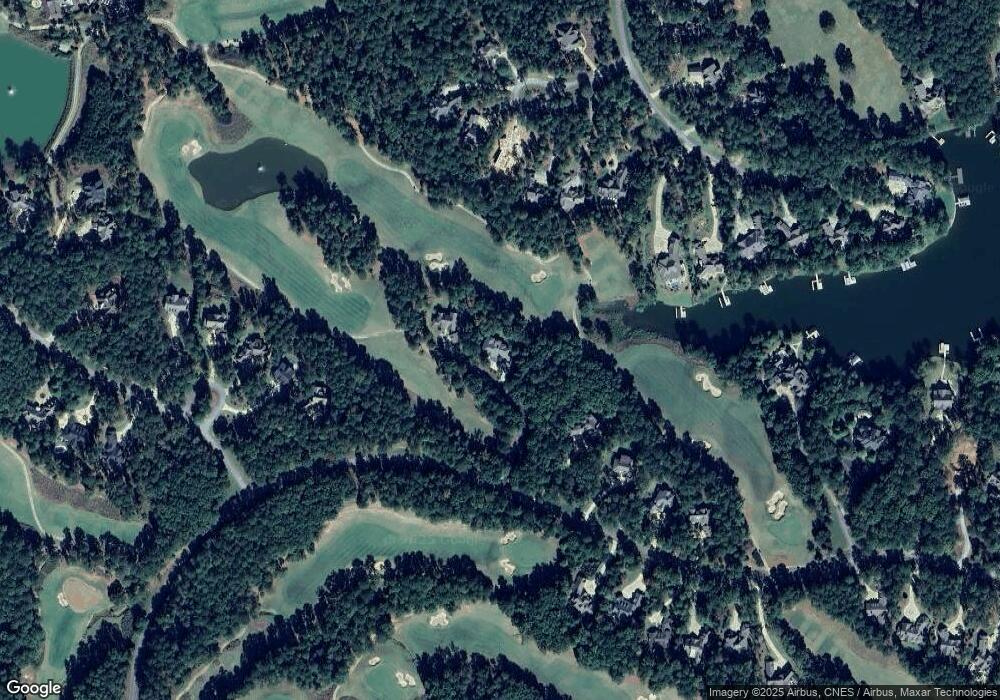
Map
Nearby Homes
- 1321 Jackson Ridge Rd
- 1010 Monfort Ct
- 1020 Monfort Ct
- 1041 Parrotts Cove Rd
- 1040 Parrotts Cove Rd
- 1551 Jackson Ridge Rd
- 1000 Troublesome Creek Ln
- 1090 Curtright Place
- 1020 Troublesome Creek Ln
- 1090 Henrys Hill
- 1191 Linger Longer Dr
- 1201 Linger Longer Dr
- 1001 Walton Way
- 1070 & 1080 Cotton Gin Rd
- 1000 Brickyard Ln
- 1030 Brickyard Ln
- 1021 Oliver Ln
- 1031 Oliver Ln Unit 24
- 1031 Oliver Ln
- 1011 Oliver Ln Unit 24B
- 1011 Oliver Ln
- 1210 Jackson Ridge Rd Unit 23
- 1210 Jackson Ridge Rd
- 1010 Broaddus Ln
- 1330 Jackson Ridge Rd Unit 25A
- 1330 Jackson Ridge Rd
- 1020 Broaddus Ln
- 1030 Broaddus Ln Unit 80
- 1030 Broaddus Ln
- 1021 Whatleys Mill Ln
- 1200 Jackson Ridge Rd
- 1071 Whatleys Mill Ln
- 1340 Jackson Ridge Rd
- 1040 Broaddus Ln
- 1001 Henrys Hill
- 1350 Jackson Ridge Rd