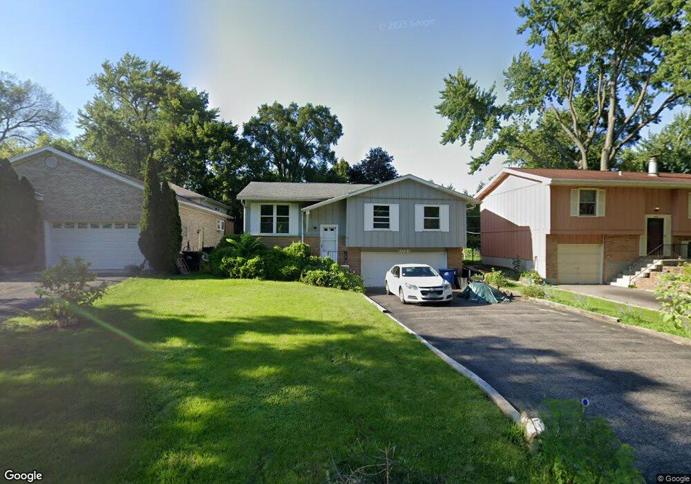
1021 Pershing Dr Wauconda, IL 60084
Estimated Value: $232,039 - $272,000
About This Home
This home is located at 1021 Pershing Dr, Wauconda, IL 60084 and is currently estimated at $252,260, approximately $232 per square foot. 1021 Pershing Dr is a home located in Lake County with nearby schools including Wauconda Grade School, Wauconda Middle School, and Wauconda High School.
Ownership History
We collect this data history from publicly available records. To have your information removed, we recommend requesting removal directly through your county’s website.
Purchase Details
Home Financials for this Owner
Home Financials are based on the most recent Mortgage that was taken out on this home.Purchase Details
Home Values in the Area
Average Home Value in this Area
Purchase History
We collect this data history from publicly available records. To have your information removed, we recommend requesting removal directly through your county’s website.
| Date | Buyer | Sale Price | Title Company |
|---|---|---|---|
| $205,000 | Chicago Title | ||
| -- | None Available |
Mortgage History
We collect this data history from publicly available records. To have your information removed, we recommend requesting removal directly through your county’s website.
| Date | Status | Borrower | Loan Amount |
|---|---|---|---|
| Open | $164,000 |
Tax History
We collect this data history from publicly available records. To have your information removed, we recommend requesting removal directly through your county’s website.
| Year | Tax Paid | Tax Assessment Tax Assessment Total Assessment is a certain percentage of the fair market value that is determined by local assessors to be the total taxable value of land and additions on the property. | Land | Improvement |
|---|---|---|---|---|
| 2025 | $5,479 | $74,292 | $13,997 | $60,295 |
| 2024 | $4,678 | $69,594 | $13,112 | $56,482 |
| 2023 | $5,146 | $63,614 | $11,985 | $51,629 |
| 2022 | $5,146 | $58,161 | $15,284 | $42,877 |
| 2021 | $3,172 | $54,957 | $14,442 | $40,515 |
| 2020 | $3,234 | $52,380 | $13,765 | $38,615 |
| 2019 | $3,010 | $49,504 | $13,009 | $36,495 |
| 2018 | $3,298 | $46,156 | $15,426 | $30,730 |
| 2017 | $3,334 | $45,623 | $15,248 | $30,375 |
| 2016 | $3,322 | $43,203 | $14,439 | $28,764 |
| 2015 | $3,427 | $39,661 | $13,255 | $26,406 |
| 2014 | $4,239 | $43,377 | $14,885 | $28,492 |
| 2012 | $4,297 | $47,307 | $14,241 | $33,066 |
Map
- 1208 Water Stone Cir
- 1253 Water Stone Cir
- 818 Sheridan Dr
- 1112 Adams Ave
- 1104 Monroe St
- 28671 N Harrison Ave
- 806 Wauconda Rd
- 0 Bonner Rd
- 410 Morning Star Ln
- 980 Peninsula Dr
- 605 Lake Shore Blvd
- 28722 N Madison Ave
- 820 Peninsula Dr
- 428 Country Lane Ct Unit 301
- 1759 Napa Suwe Ln
- 330 Stillwater Ct Unit 1504
- 365 Lake Ave Unit C
- 325 Stillwater Ct Unit 1305
- 304 Hill St Unit 1004
- 29564 N Garland Rd
- 1012 Pershing Dr
- 1008 Pershing Dr
- 1022 Pershing Dr
- 1104 Park Ave
- LOT 13 Pershing Dr
- 1001 Sheridan Dr
- 1013 James St
- 1015 James St
- 1017 James St
- 995 Sheridan Dr
- 1011 Pershing Dr
- 1015 Pershing Dr
- 1021 James St
- 1009 Pershing Dr
- 1019 Pershing Dr
- 1007 Pershing Dr
- 1005 Pershing Dr
- 1025 Pershing Dr
- 922 Pershing Dr
- 919 Sheridan Dr
Ask me questions while you tour the home.