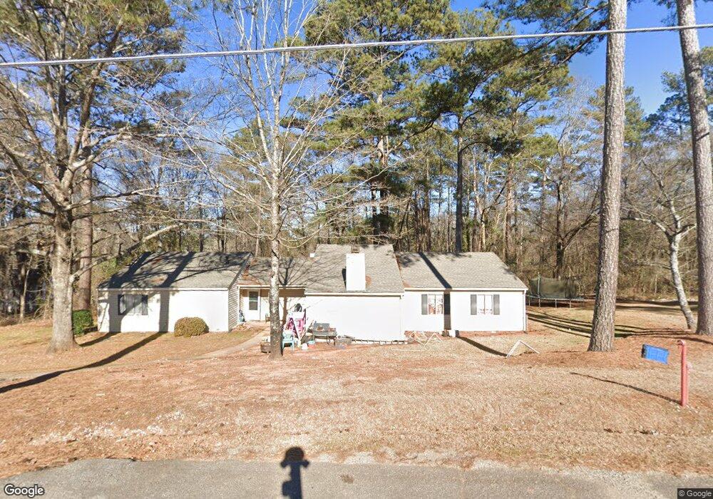
1021 Pine Ridge Ct Athens, GA 30606
Skyline NeighborhoodEstimated Value: $254,962 - $499,000
--
Bed
--
Bath
2,264
Sq Ft
$171/Sq Ft
Est. Value
About This Home
This home is located at 1021 Pine Ridge Ct, Athens, GA 30606 and is currently estimated at $388,241, approximately $171 per square foot. 1021 Pine Ridge Ct is a home located in Oconee County with nearby schools including Oconee County Primary School, Oconee County Elementary School, and Malcom Bridge Middle School.
Ownership History
Date
Name
Owned For
Owner Type
Purchase Details
Closed on
Jul 17, 2012
Sold by
Lageorgia Kipling La
Bought by
Chipper Land Co Llc
Current Estimated Value
Purchase Details
Closed on
Sep 7, 2007
Sold by
Not Provided
Bought by
Ga Kipling Land
Purchase Details
Closed on
Sep 13, 2002
Sold by
White Danny
Bought by
Madden Mike and Vance Snow
Purchase Details
Closed on
Aug 7, 1998
Sold by
Clarke Amanda
Bought by
Madden Mike Vance
Create a Home Valuation Report for This Property
The Home Valuation Report is an in-depth analysis detailing your home's value as well as a comparison with similar homes in the area
Home Values in the Area
Average Home Value in this Area
Purchase History
| Date | Buyer | Sale Price | Title Company |
|---|---|---|---|
| Chipper Land Co Llc | $847,500 | -- | |
| Ga Kipling Land | $1,150,000 | -- | |
| Madden Mike | -- | -- | |
| Madden Mike Vance | $628,100 | -- | |
| Clarke Amanda | $95,300 | -- |
Source: Public Records
Tax History Compared to Growth
Tax History
| Year | Tax Paid | Tax Assessment Tax Assessment Total Assessment is a certain percentage of the fair market value that is determined by local assessors to be the total taxable value of land and additions on the property. | Land | Improvement |
|---|---|---|---|---|
| 2024 | $1,253 | $69,057 | $10,278 | $58,779 |
| 2023 | $1,290 | $69,057 | $11,200 | $57,857 |
| 2022 | $1,141 | $53,200 | $10,851 | $42,349 |
| 2021 | $1,232 | $53,200 | $10,851 | $42,349 |
| 2020 | $1,273 | $54,913 | $11,200 | $43,713 |
| 2019 | $1,239 | $53,432 | $11,200 | $42,232 |
| 2018 | $1,165 | $49,198 | $11,200 | $37,998 |
| 2017 | $1,093 | $46,136 | $18,750 | $27,386 |
| 2016 | $1,093 | $46,136 | $18,750 | $27,386 |
| 2015 | $1,095 | $46,136 | $18,750 | $27,386 |
| 2014 | $1,120 | $46,136 | $18,750 | $27,386 |
| 2013 | -- | $48,135 | $0 | $0 |
Source: Public Records
Map
Nearby Homes
- 1340 Old Epps Bridge Rd
- 165 Canterbury Dr
- 1010 Springview Ct
- 160 Edgewood Dr
- 215 Lenox Rd
- 190 Kirkwood Dr
- 780 Kings Rd
- 1050 Chestnut Glen
- 1771 Timothy Rd
- 137 Timothy Park Ln
- 136 Timothy Park Ln
- 210 Orchard Creek Dr
- 140 Cypress Manor Ln
- 461 Oglethorpe Ave
- 1845 Olympus Ct
- 1847 Olympus Ct
- 1842 Olympus Ct
- 114 Telfair Place
- 1031 Pine Ridge Ct
- 1030 Pine Ridge Ct
- 1010 Pine Ridge Ct
- 1051 Pine Ridge Ct
- 1050 Pine Ridge Ct
- 0 Epps Bridge Pkwy
- 1000 Pine Ridge Ct
- 1061 Pine Ridge Ct
- 1970 Epps Bridge Pkwy
- 1561 Tanglebrook Dr
- 1940 Epps Bridge Pkwy
- 1348 Jordan Dr
- 1541 Tanglebrook Dr
- 1591 Tanglebrook Dr
- 1045 Parkway Blvd
- 1620 Tanglebrook Dr
- 1961 Epps Bridge Pkwy Unit 30606
- 1961 Epps Bridge Pkwy
- 1540 Tanglebrook Dr
- 1348 Jordan Dr