1021 Power Dam Rd Blue Ridge, GA 30513
Estimated Value: $597,000 - $765,000
--
Bed
2
Baths
2,238
Sq Ft
$294/Sq Ft
Est. Value
About This Home
This home is located at 1021 Power Dam Rd, Blue Ridge, GA 30513 and is currently estimated at $657,678, approximately $293 per square foot. 1021 Power Dam Rd is a home located in Fannin County with nearby schools including Fannin County High School.
Ownership History
Date
Name
Owned For
Owner Type
Purchase Details
Closed on
Feb 16, 2022
Sold by
Davis H Joan
Bought by
Davis Helen Joan and Davis Rev Tr
Current Estimated Value
Purchase Details
Closed on
Dec 3, 2016
Sold by
Eric Jason
Bought by
Davis H Joan
Purchase Details
Closed on
Sep 13, 2016
Sold by
Joan H
Bought by
Davis H Joan and Davis Jason Eric
Purchase Details
Closed on
Oct 23, 2002
Sold by
Davis James H
Bought by
Davis James H and Davis Joan H
Purchase Details
Closed on
Jul 28, 1994
Bought by
Davis Hazel Greene
Purchase Details
Closed on
Nov 15, 1993
Bought by
Davis Hazel Greene
Purchase Details
Closed on
Mar 13, 1992
Bought by
Greene Homer T
Create a Home Valuation Report for This Property
The Home Valuation Report is an in-depth analysis detailing your home's value as well as a comparison with similar homes in the area
Home Values in the Area
Average Home Value in this Area
Purchase History
| Date | Buyer | Sale Price | Title Company |
|---|---|---|---|
| Davis Helen Joan | -- | -- | |
| Davis H Joan | -- | -- | |
| Davis H Joan | -- | -- | |
| Davis James H | -- | -- | |
| Davis Hazel Greene | -- | -- | |
| Davis Hazel Greene | -- | -- | |
| Greene Homer T | -- | -- |
Source: Public Records
Tax History Compared to Growth
Tax History
| Year | Tax Paid | Tax Assessment Tax Assessment Total Assessment is a certain percentage of the fair market value that is determined by local assessors to be the total taxable value of land and additions on the property. | Land | Improvement |
|---|---|---|---|---|
| 2025 | $676 | $182,587 | $114,047 | $68,540 |
| 2024 | $676 | $182,586 | $114,047 | $68,539 |
| 2023 | $569 | $170,489 | $114,047 | $56,442 |
| 2022 | $753 | $172,578 | $114,047 | $58,531 |
| 2021 | $1,040 | $141,114 | $103,676 | $37,438 |
| 2020 | $1,055 | $141,114 | $103,676 | $37,438 |
| 2019 | $1,076 | $141,114 | $103,676 | $37,438 |
| 2018 | $1,141 | $141,114 | $103,676 | $37,438 |
| 2017 | $2,497 | $141,114 | $103,676 | $37,438 |
| 2016 | $1,222 | $125,429 | $97,858 | $27,571 |
| 2015 | $1,273 | $125,429 | $97,858 | $27,571 |
| 2014 | $1,255 | $94,115 | $60,704 | $33,411 |
| 2013 | -- | $82,916 | $60,704 | $22,212 |
Source: Public Records
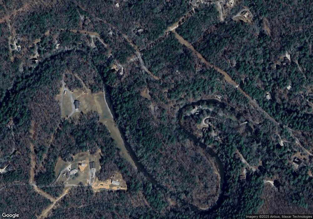
Map
Nearby Homes
- 308 Hemlock Trail
- 129 Old Bend Rd
- 222 Icy Ln
- HEMLOCK Hemlock Trail
- 340 Hemlock Trail
- 163 Cherokee Path
- 2695 Highway 2 Unit 3
- 2695 Highway 2
- 2596 Highway 2
- 320 Old Highway 2
- 237 Chestnut Gap Rd
- 0 Saffron Ln Unit 419641
- 0 Saffron Ln Unit 10631323
- 201 Jaquar Ln
- 65 Black Oak Ridge Rd
- 184 Spence Rd
- 184 Spence Rd
- 450 Miracle Ln
- 5 Serenity View
- Lot 19 Black Oak Rd