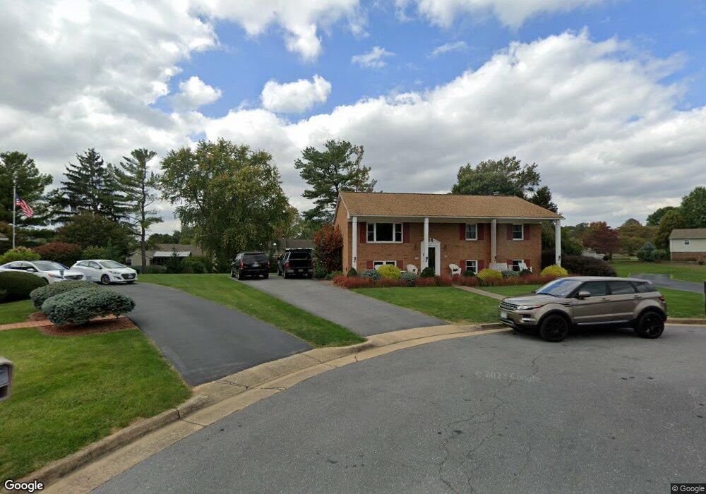
1021 Robin Ct Harrisonburg, VA 22802
Reherd Acres NeighborhoodEstimated Value: $352,000 - $410,000
3
Beds
2
Baths
1,316
Sq Ft
$283/Sq Ft
Est. Value
About This Home
This home is located at 1021 Robin Ct, Harrisonburg, VA 22802 and is currently estimated at $371,884, approximately $282 per square foot. 1021 Robin Ct is a home located in Harrisonburg City with nearby schools including Smithland Elementary School, Skyline Middle School, and Harrisonburg High School.
Ownership History
Date
Name
Owned For
Owner Type
Purchase Details
Closed on
Jun 29, 2021
Sold by
Pettit Ralph E
Bought by
Pettit Ralph E and Pettit Zobeida L
Current Estimated Value
Home Financials for this Owner
Home Financials are based on the most recent Mortgage that was taken out on this home.
Original Mortgage
$97,300
Interest Rate
2.9%
Mortgage Type
New Conventional
Create a Home Valuation Report for This Property
The Home Valuation Report is an in-depth analysis detailing your home's value as well as a comparison with similar homes in the area
Home Values in the Area
Average Home Value in this Area
Purchase History
| Date | Buyer | Sale Price | Title Company |
|---|---|---|---|
| Pettit Ralph E | -- | Avenue 365 Lender Svcs Llc |
Source: Public Records
Mortgage History
| Date | Status | Borrower | Loan Amount |
|---|---|---|---|
| Closed | Pettit Ralph E | $97,300 |
Source: Public Records
Tax History Compared to Growth
Tax History
| Year | Tax Paid | Tax Assessment Tax Assessment Total Assessment is a certain percentage of the fair market value that is determined by local assessors to be the total taxable value of land and additions on the property. | Land | Improvement |
|---|---|---|---|---|
| 2025 | $3,324 | $351,100 | $85,000 | $266,100 |
| 2024 | $3,324 | $329,100 | $79,200 | $249,900 |
| 2023 | $0 | $310,500 | $79,200 | $231,300 |
| 2022 | $0 | $279,800 | $72,000 | $207,800 |
| 2021 | $2,316 | $257,300 | $72,000 | $185,300 |
| 2020 | $2,159 | $246,900 | $72,000 | $174,900 |
| 2019 | $2,132 | $243,700 | $72,000 | $171,700 |
| 2018 | $1,459 | $240,400 | $72,000 | $168,400 |
| 2017 | $1,459 | $212,000 | $72,000 | $140,000 |
| 2016 | $1,459 | $202,700 | $72,000 | $130,700 |
| 2015 | $1,459 | $202,700 | $72,000 | $130,700 |
| 2014 | -- | $202,700 | $72,000 | $130,700 |
Source: Public Records
Map
Nearby Homes
- 882 Vine St
- 1084 Cherrybrook Dr
- 1116 Blue Ridge Dr Unit 11
- 811 Spotswood Dr
- 608 Hawkins St
- 1111 Patrick Henry Place
- 414 Summit St
- 655 E Rock St
- 91 Dutch Mill Ct
- 556 E Gay St
- 515 E Wolfe St
- 321 Emerson Ln
- 305 Emerson Ln
- 1661 Smithland Rd
- 889 Northfield Ct
- 1026 Commercial Ct
- 1215 Old Richmond Cir
- 532 Mountain View Dr
- 355 Franklin St
- 0 Reservoir St Unit 184138
- 1011 Robin Ct
- 960 Star Crest Dr
- 1020 Robin Ct
- 950 Star Crest Dr
- 970 Star Crest Dr
- 1010 Robin Ct
- 1055 Bobwhite Place
- 830 Blue Ridge Dr
- 940 Star Crest Dr
- 820 Blue Ridge Dr
- 980 Star Crest Dr
- 840 Blue Ridge Dr
- 1059 Bobwhite Place
- 850 Blue Ridge Dr
- 965 Star Crest Dr
- 1080 Star Crest Dr
- 955 Star Crest Dr
- 1061 Bobwhite Place
- 860 Blue Ridge Dr
- 945 Star Crest Dr