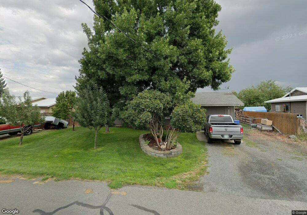
1021 S Bridge St Prairie City, OR 97869
Estimated Value: $198,000 - $236,000
3
Beds
1
Bath
1,104
Sq Ft
$198/Sq Ft
Est. Value
About This Home
This home is located at 1021 S Bridge St, Prairie City, OR 97869 and is currently estimated at $218,104, approximately $197 per square foot. 1021 S Bridge St is a home located in Grant County with nearby schools including Prairie City School, Virtual Preparatory Academy of Oregon, and Oregon Connections Academy.
Ownership History
Date
Name
Owned For
Owner Type
Purchase Details
Closed on
Jun 16, 2014
Sold by
Billman Michael E
Bought by
Mcclung Brian E and Mcclung Kimberly
Current Estimated Value
Home Financials for this Owner
Home Financials are based on the most recent Mortgage that was taken out on this home.
Original Mortgage
$106,399
Outstanding Balance
$84,997
Interest Rate
4.25%
Mortgage Type
USDA
Estimated Equity
$133,107
Create a Home Valuation Report for This Property
The Home Valuation Report is an in-depth analysis detailing your home's value as well as a comparison with similar homes in the area
Home Values in the Area
Average Home Value in this Area
Purchase History
| Date | Buyer | Sale Price | Title Company |
|---|---|---|---|
| Mcclung Brian E | $100,000 | None Available |
Source: Public Records
Mortgage History
| Date | Status | Borrower | Loan Amount |
|---|---|---|---|
| Open | Mcclung Brian E | $106,399 |
Source: Public Records
Tax History Compared to Growth
Tax History
| Year | Tax Paid | Tax Assessment Tax Assessment Total Assessment is a certain percentage of the fair market value that is determined by local assessors to be the total taxable value of land and additions on the property. | Land | Improvement |
|---|---|---|---|---|
| 2024 | $1,613 | $108,483 | $32,108 | $76,375 |
| 2023 | $1,566 | $105,324 | $27,550 | $77,774 |
| 2022 | $1,521 | $102,257 | $26,746 | $75,511 |
| 2021 | $1,476 | $99,279 | $25,966 | $73,313 |
| 2020 | $1,547 | $96,388 | $25,212 | $71,176 |
| 2019 | $1,503 | $93,581 | $24,480 | $69,101 |
| 2018 | $1,457 | $90,856 | $23,766 | $67,090 |
| 2017 | $1,418 | $88,210 | $22,833 | $65,377 |
| 2016 | $1,378 | $85,641 | $22,166 | $63,475 |
| 2015 | $1,347 | $80,726 | $20,430 | $60,296 |
| 2014 | $1,347 | $80,726 | $20,430 | $60,296 |
| 2013 | $1,261 | $78,375 | $19,835 | $58,540 |
Source: Public Records
Map
Nearby Homes
- 138 W 12th St
- 142 Front St
- 520 John Day Hwy
- 0 N Washington St
- 0 Washington St Unit 24278630
- 26272 Pine Creek Rd
- 25361 Baldy Mountain Rd
- 25422 Baldy Mountain Rd
- 0 N Fork 40 Unit 21
- 858 E Main St
- 798 E Main St
- 748 E Main St
- 600 SE 2nd Ave
- 520 SE Hillcrest Rd
- 60625 Three Point Rd
- 100 SE Hillcrest Rd
- 60408 Marysville Ln
- 328 Edgewood Dr
- 0 NE 7th St
- 324 Edgewood Dr
- 1027 S Bridge St
- 1015 S Bridge St
- 1031 S Bridge St
- 983 S Bridge St
- 1014 Bridge St
- 1050 S Bridge St
- 963 S Bridge St
- 1033 S Bridge St
- 958 S Bridge St
- 944 S Mccallum Ave
- 0 S Bridge St Unit 2615422
- 0 S Bridge St Unit 11255460
- 0 S Bridge St
- 500 Reynolds Rd
- 919 S Mccallum St
- 118 W 12th St
- 118 E 12 St
- 118 12 St
- 510 Reynolds Rd
- 945 S Overholt Ave