1021 Sugar Hill Rd Brockway, PA 15824
Estimated Value: $86,086 - $178,000
--
Bed
--
Bath
560
Sq Ft
$238/Sq Ft
Est. Value
About This Home
This home is located at 1021 Sugar Hill Rd, Brockway, PA 15824 and is currently estimated at $133,022, approximately $237 per square foot. 1021 Sugar Hill Rd is a home located in Jefferson County with nearby schools including Brockway Area Elementary School, Brockway Area Junior/Senior High School, and EAGLES NEST AMISH SCHOOL.
Ownership History
Date
Name
Owned For
Owner Type
Purchase Details
Closed on
Apr 20, 2011
Sold by
Lindemuth Nora B and Patterson Susan C
Bought by
Lindemuth Mark R
Current Estimated Value
Home Financials for this Owner
Home Financials are based on the most recent Mortgage that was taken out on this home.
Original Mortgage
$37,700
Outstanding Balance
$1,947
Interest Rate
4.17%
Mortgage Type
Purchase Money Mortgage
Estimated Equity
$131,075
Create a Home Valuation Report for This Property
The Home Valuation Report is an in-depth analysis detailing your home's value as well as a comparison with similar homes in the area
Home Values in the Area
Average Home Value in this Area
Purchase History
| Date | Buyer | Sale Price | Title Company |
|---|---|---|---|
| Lindemuth Mark R | $47,000 | None Available |
Source: Public Records
Mortgage History
| Date | Status | Borrower | Loan Amount |
|---|---|---|---|
| Open | Lindemuth Mark R | $37,700 |
Source: Public Records
Tax History Compared to Growth
Tax History
| Year | Tax Paid | Tax Assessment Tax Assessment Total Assessment is a certain percentage of the fair market value that is determined by local assessors to be the total taxable value of land and additions on the property. | Land | Improvement |
|---|---|---|---|---|
| 2025 | $972 | $24,780 | $3,880 | $20,900 |
| 2024 | $1,125 | $24,780 | $3,880 | $20,900 |
| 2023 | $935 | $24,780 | $3,880 | $20,900 |
| 2022 | $935 | $24,780 | $3,880 | $20,900 |
| 2021 | $929 | $24,780 | $3,880 | $20,900 |
| 2020 | $929 | $24,780 | $3,880 | $20,900 |
| 2019 | $888 | $24,780 | $3,880 | $20,900 |
| 2018 | $865 | $24,780 | $3,880 | $20,900 |
| 2017 | $851 | $24,780 | $3,880 | $20,900 |
| 2016 | $774 | $24,780 | $3,880 | $20,900 |
| 2015 | -- | $24,780 | $3,880 | $20,900 |
| 2012 | -- | $24,780 | $3,880 | $20,900 |
Source: Public Records
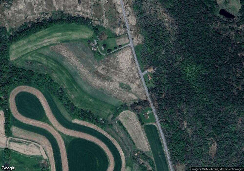
Map
Nearby Homes
- 0 Coal Glen Rd
- 5546 Stevenson Hill Rd
- 19 Salandra Ln
- 2278 Egypt Rd
- 00 Pennsylvania 830
- 10217 Pennsylvania 28
- 3539 Stevenson Hill Rd
- 3243 Stevenson Hill Rd
- 559 Buskirk Rd
- 725 Russel Rd
- 1074 10th Ave
- 0 U S 219
- 1549 Main St
- 924 Elm St
- 7956 U S 219
- 970 Baghdad Rd
- 1032 Beechtree Rd
- 765 Laurel Run Rd
- 1144 Shaffer Rd
- 5850 U S 219
- 936 Sugar Hill Rd
- 855 Sugar Hill Rd
- 710 Sugar Hill Rd
- 558 Sugar Hill Rd
- 19 Cyphert Rd
- 169 Cyphert Rd
- 40 Cyphert Rd
- 436 Sugar Hill Rd
- 342 Sugar Hill Rd
- 108 Cyphert Rd
- 314 Cyphert Rd
- 1887 Reitz Crossing Rd
- 348 Cyphert Rd
- 355 Cyphert Rd
- 1790 Sugar Hill Rd
- 198 Sugar Hill Rd
- 229 Bushley Rd
- 208 Moore Ln
- 1428 Coal Glen Rd
- 1946 Reitz Crossing Rd