Estimated Value: $311,000 - $416,000
4
Beds
2
Baths
3,427
Sq Ft
$111/Sq Ft
Est. Value
About This Home
This home is located at 1021 Sunset Ct, Omro, WI 54963 and is currently estimated at $380,585, approximately $111 per square foot. 1021 Sunset Ct is a home located in Winnebago County with nearby schools including Patch Elementary School, Omro Elementary School, and Omro Middle School.
Ownership History
Date
Name
Owned For
Owner Type
Purchase Details
Closed on
Apr 25, 2014
Sold by
Zernzach Peter M and Zernzach Angie J
Bought by
Zernzach Peter M and Zernzach Angie J
Current Estimated Value
Home Financials for this Owner
Home Financials are based on the most recent Mortgage that was taken out on this home.
Original Mortgage
$57,700
Interest Rate
4.33%
Mortgage Type
New Conventional
Purchase Details
Closed on
Jun 3, 2013
Sold by
Zernzach Rudolph C
Bought by
Zernzach Peter M
Create a Home Valuation Report for This Property
The Home Valuation Report is an in-depth analysis detailing your home's value as well as a comparison with similar homes in the area
Home Values in the Area
Average Home Value in this Area
Purchase History
| Date | Buyer | Sale Price | Title Company |
|---|---|---|---|
| Zernzach Peter M | -- | None Available | |
| Zernzach Peter M | -- | None Available |
Source: Public Records
Mortgage History
| Date | Status | Borrower | Loan Amount |
|---|---|---|---|
| Closed | Zernzach Peter M | $57,700 |
Source: Public Records
Tax History
| Year | Tax Paid | Tax Assessment Tax Assessment Total Assessment is a certain percentage of the fair market value that is determined by local assessors to be the total taxable value of land and additions on the property. | Land | Improvement |
|---|---|---|---|---|
| 2024 | $6,143 | $231,300 | $26,500 | $204,800 |
| 2023 | $5,561 | $231,300 | $26,500 | $204,800 |
| 2022 | $5,486 | $231,300 | $26,500 | $204,800 |
| 2021 | $5,179 | $231,300 | $26,500 | $204,800 |
| 2020 | $5,170 | $231,300 | $26,500 | $204,800 |
| 2019 | $4,979 | $231,300 | $26,500 | $204,800 |
| 2018 | $4,985 | $231,300 | $26,500 | $204,800 |
| 2017 | $5,183 | $214,200 | $22,000 | $192,200 |
| 2016 | $5,069 | $214,200 | $22,000 | $192,200 |
| 2015 | $5,279 | $214,200 | $22,000 | $192,200 |
| 2014 | -- | $214,200 | $22,000 | $192,200 |
| 2013 | -- | $214,200 | $22,000 | $192,200 |
Source: Public Records
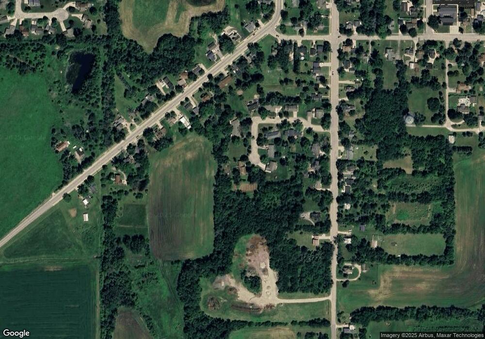
Map
Nearby Homes
- 224 E Scott St
- 351 E Scott St
- 523 Michigan St
- 861 Carissa Ct
- 730 E Scott St
- 613 Mckinley Ave
- 336 Mckinley Ave
- 651 E River Dr
- 0 County Rd E Unit 50318875
- 0 Poygan Rd
- 320 Lincoln Ave
- 336 Wintergreen Dr
- 5987 County Rd E
- 0 Broderick Rd
- 4980 Broderick Rd
- 1 Reighmoor Rd
- 5280 Oreilly Rd
- 5340 Wisconsin 21
- 5294 Notre Dame Dr
- 5316 Cornhusk Ln
Your Personal Tour Guide
Ask me questions while you tour the home.